Mexico
Estado de Quintana Roo, Mexico — Towns & Travel Guide


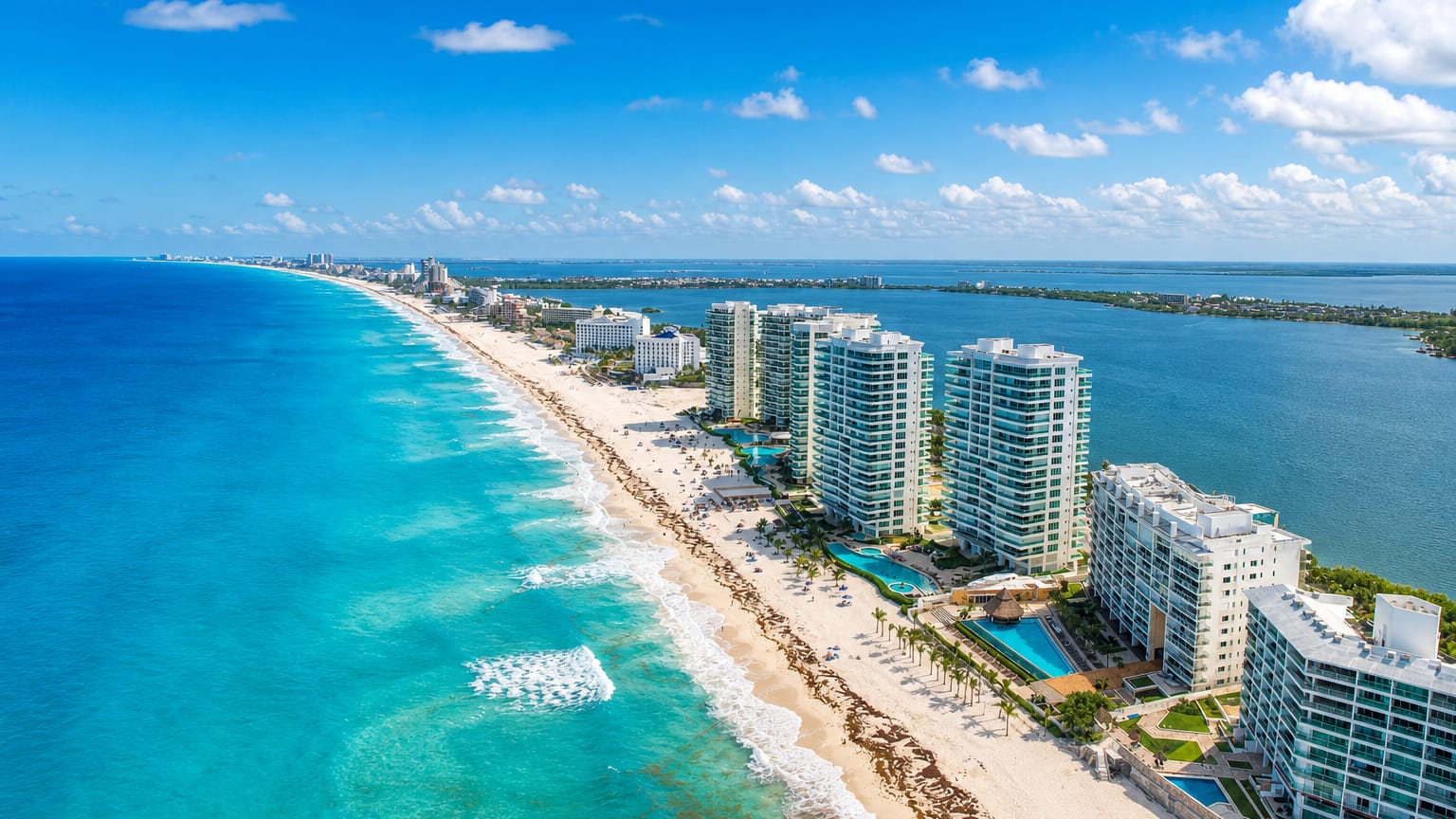
Quintana Roo is Mexico's Caribbean state on the eastern Yucatán Peninsula, holding Cancún, Tulum, Cozumel and the Mesoamerican reef.
Find your area →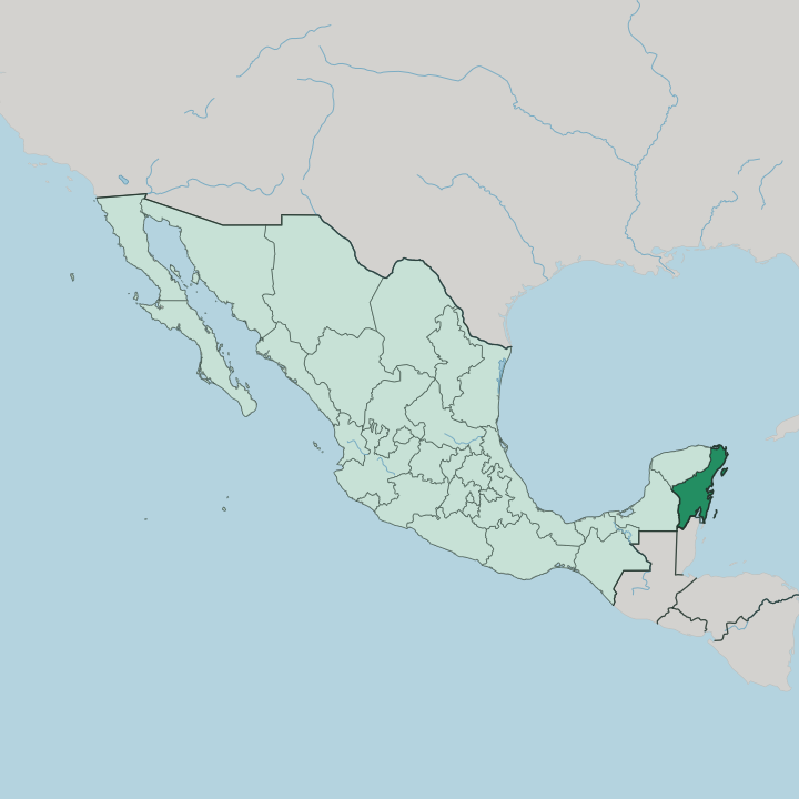


Towns & cities in Estado de Quintana Roo
Pick a town or city — each links to where to stay.
 Mexico
Cancún
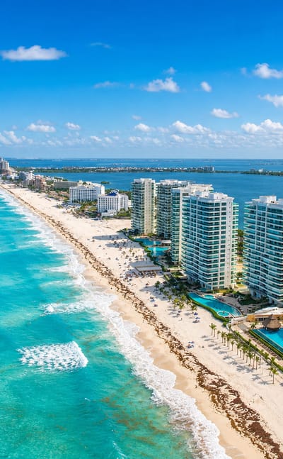
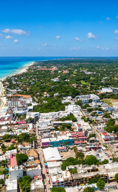
Caribbean water meets white sand at Cancún, a resort city on the Yucatán Peninsula in Quintana Roo, known for its Hotel Zone.Where to stay →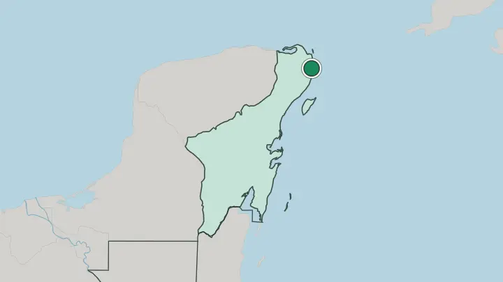
 Mexico
Playa del Carmen
The Caribbean Sea laps the sand at Playa del Carmen, a resort city in Estado de Quintana Roo at the heart of the Mayan Riviera.Where to stay →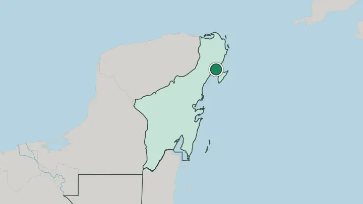
About Estado de Quintana Roo
What is Estado de Quintana Roo known for?
Quintana Roo is the Mexican Caribbean, a coast of turquoise water and white sand. Cancún anchors its northern end. From there the Riviera Maya runs south along the Caribbean Sea through Playa del Carmen to the cliff-top Maya ruins of Tulum, past the dive reefs off Cozumel and the cenotes cut into the limestone.
Inland, older Maya cities like Cobá stand deep in the forest. Beaches and reef pull the crowds.
Where is Estado de Quintana Roo?
Quintana Roo is Mexico's easternmost state, filling the eastern side of the Yucatán Peninsula. Its long shore faces the Caribbean Sea. To the north the coast turns toward the Gulf of Mexico near the sandbar island of Holbox, while the Caribbean runs the whole eastern edge past Cancún and down to the border with Belize.
The state of Yucatán lies to the northwest and Campeche to the west, both sharing the peninsula. In the south the Hondo River traces the frontier with Belize, and Chetumal, the capital, sits on a bay at its mouth. The land itself is flat.
It is a low limestone shelf of jungle with almost no surface rivers, because rain drains straight down through the porous rock into cenotes and flooded caves. The flooded cave systems threading the rock around Tulum rank among the longest surveyed anywhere on earth. Offshore, the Mesoamerican reef, the longest coral system in the Western Hemisphere, shadows the coast from Isla Mujeres and Cozumel southward.
Behind the beaches south of Tulum spread the mangroves and lagoons of the Sian Ka'an wetlands. Coral, jungle and water define it.
What is Estado de Quintana Roo like?
Two Quintana Roos live side by side. Along the coast, the resort towns run on tourism and draw workers from across Mexico, so the beach strip feels newer and more mixed than the interior. Inland, Maya villages keep older rhythms.
Yucatec Maya is still spoken beside Spanish in the towns of the interior, and the Cruzoob Maya who fought the Caste War of Yucatán have their heartland at Felipe Carrillo Puerto, once the rebel shrine-town of Chan Santa Cruz. Maya identity here is living, not a museum piece. The kitchen is Yucatecan.
Cochinita pibil, pork slow-cooked with achiote and sour orange, turns up everywhere from market stalls to resort buffets. Cozumel keeps a strong island tradition, and each spring paddlers re-enact the Sacred Maya Crossing to the island, once a pilgrimage to the goddess Ixchel. Reggae, cumbia and Caribbean beats drift out of the beach bars at night.
The great ruins are part of daily life too. Tulum and Cobá pull steady crowds, and dozens of smaller Maya sites sit unmarked in the bush. Old and new share the same coast.
What is the history of Estado de Quintana Roo?
The Maya built here first. Cities like Cobá and the sea-cliff fort of Tulum thrived long before the Spanish came, and the eastern coast stayed on the margins of colonial New Spain for centuries. In 1847 the Maya rose against their overlords in the Caste War of Yucatán and held an independent territory around the shrine of Chan Santa Cruz for decades.
Mexico carved the federal territory of Quintana Roo out of Yucatán in 1902, naming it for the independence-era writer Andrés Quintana Roo. Statehood came only in 1974.
What is the climate of Estado de Quintana Roo?
Heat is constant here. The dry season runs from November to April, when the coast is sunniest and the sea at its calmest. Rain arrives in force from May to October, heaviest in September, usually in short afternoon storms.
That wet stretch is also hurricane season, and the exposed Caribbean coast takes direct hits: Hurricane Wilma battered Cancún in 2005, and Hurricane Dean crossed the south in 2007. Trade winds off the sea temper the humidity.
How do you get to Estado de Quintana Roo?
Cancún International Airport handles most arrivals. It ranks among the busiest airports in Mexico, fed by direct flights from across North America and Europe, and it sits within reach of the whole coast. A second airport opened inland from Tulum in 2023 to serve the south.
From Cancún the coastal Highway 307 runs down through Playa del Carmen and Tulum to Chetumal, worked all day by ADO buses. Ferries finish the trip: Playa del Carmen out to Cozumel, and the Cancún area across to Isla Mujeres.
Common questions
What is the best area to stay in Estado de Quintana Roo?
Cancún: big-resort beaches and nightlife. Playa del Carmen: a walkable base on the Riviera Maya.
Good for
Updated July 2026