United States
Indiana, United States — Towns & Travel Guide


Indiana, the Hoosier State, spreads across the American Midwest, corn plains, limestone hills, dune-backed lakeshore and the Indianapolis 500.
Find your area →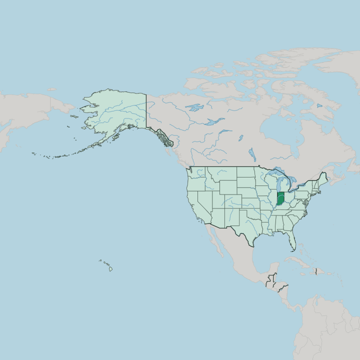
Towns & cities in Indiana
Pick a town or city — each links to where to stay.
 United States
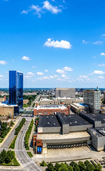
Indianapolis
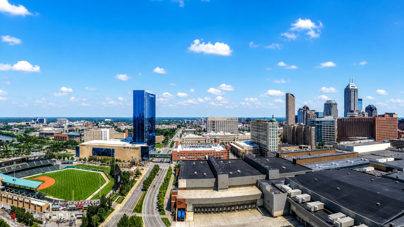
The White River runs through Indianapolis, the capital of Indiana, known for its Soldiers' and Sailors' Monument and the Indianapolis Zoo.Where to stay →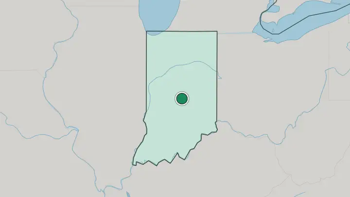
 United States
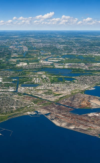
Gary
A planned steel town on the Indiana lakefront, Gary is a city in Lake County known as the birthplace of Michael Jackson and home to the Gary Bathing Beach…Where to stay →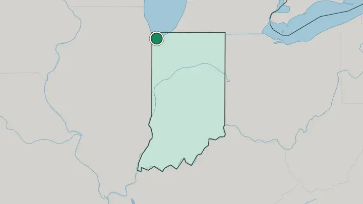
About Indiana
Two things put Indiana on the map: fast cars and basketball.
What is Indiana known for?
Every May the Indianapolis Motor Speedway hosts the Indianapolis 500, and the crack of a ball on a gymnasium floor still measures out winters across the state's small towns. The ground itself is famous too. Quarries around Bedford cut the pale limestone that faced the Pentagon, the Empire State Building and dozens of state capitols.
Corn and soybean fields run to the horizon between the cities, while the University of Notre Dame and its Golden Dome anchor the north.
Where is Indiana?
Indiana lies in the American Midwest, one of the flat farming states between the Great Lakes and the Ohio valley. Water marks most of its edges. Lake Michigan laps the north-west corner, Michigan runs along the north, and Ohio sits to the east; the Ohio River and Kentucky close the south, while the Wabash River and Illinois form much of the west.
Three landscapes stack from north to south. Up by Lake Michigan, sand ridges rise behind the shore, some of them tall dunes preserved in Indiana Dunes National Park. The broad middle is till plain, glacier-flattened black soil where corn and soybeans run to the tree lines.
Across that belt runs the Wabash River, the longest in the state, flowing from the Ohio border toward Illinois, while the West Fork White River loops through Indianapolis near the geographic centre. South of the old glacial limit the country changes again. Here the ice never reached, so the land keeps its hills, sinkholes and limestone caves, tilting down at last to the Ohio River.
Wooded knobs and the Hoosier National Forest cover much of that southern quarter. It is a compact state, drivable top to bottom in an afternoon.
What is Indiana like?
Ask a native what a Hoosier is and few can define it, yet everyone knows one when they see one. The word is the state's own, worn with a plain, unshowy pride. Basketball runs deepest of all.
In small towns the high-school gym is the winter meeting hall, and the 1954 upset by tiny Milan High still echoes through every March tournament and the film it inspired. Racing is the other religion. On the Sunday before Memorial Day the whole state seems to tilt toward the Indianapolis Motor Speedway, where the Indianapolis 500 has run since 1911.
Culture here reaches past sport. The stone towns of the south, Bedford chief among them, raised generations of carvers whose limestone dressed cathedrals and capitols far away. Music and letters have their place too.
Kurt Vonnegut grew up in Indianapolis, James Whitcomb Riley wrote his Hoosier verse in dialect, and the University of Notre Dame turns football Saturdays into pilgrimages. Between the cities the rhythm slows to fields, county fairs and the old covered bridges of Parke County. Faith, farms and front porches still set the tone.
It would rather understate itself than shout.
What is the history of Indiana?
The name says it plainly: land of the Indians. Long before statehood the Miami and Potawatomi peoples held this country, hunting and farming the river valleys. Congress carved the Indiana Territory from the Northwest Territory in 1800 and governed at first from Vincennes on the Wabash River.
Statehood came on December 11, 1816, and Indiana entered the Union as the nineteenth state. In 1825 the capital moved to a brand-new town, Indianapolis, planted dead centre so every county could reach it. Canals gave way to railroads.
Then came the steel mills. US Steel laid out the city of Gary on the Lake Michigan shore in 1906.
What is the climate of Indiana?
Indiana keeps a humid continental climate with four clear seasons. Summers turn hot and sticky, winters cold. Spring brings the thunderstorms, and the state's flat open ground lies at the eastern edge of the country's tornado belt.
Snow tells the sharpest north-south story: lake-effect squalls off Lake Michigan bury South Bend and the northern counties, while the Ohio River valley around Evansville stays milder and greener at the southern end. Rain falls in every season, spread fairly evenly through the year.
How do you get to Indiana?
Most visitors fly into Indianapolis International Airport, the state's main air hub beside the capital. Indiana calls itself the Crossroads of America, and it earns the name. More interstate highways converge on Indianapolis than on any other American city, so many arrive by car, from Chicago in the north-west, from Cincinnati and Louisville on the southern rivers.
The Indiana Toll Road carries east-west traffic across the top of the state, tying it to Chicago and the wider Great Lakes. Trains still call at a few towns. Once inside, a car opens up the small towns and the southern hills.
Common questions
What is the best area to stay in Indiana?
Indianapolis: a first base for racing and museums.
Good for
Updated July 2026