Uzbekistan
Sirdaryo Region, Uzbekistan — Towns & Travel Guide


Sirdaryo Region lies on the left bank of the Syr Darya in central Uzbekistan, its cotton fields carved from the Hungry Steppe.
Find your area →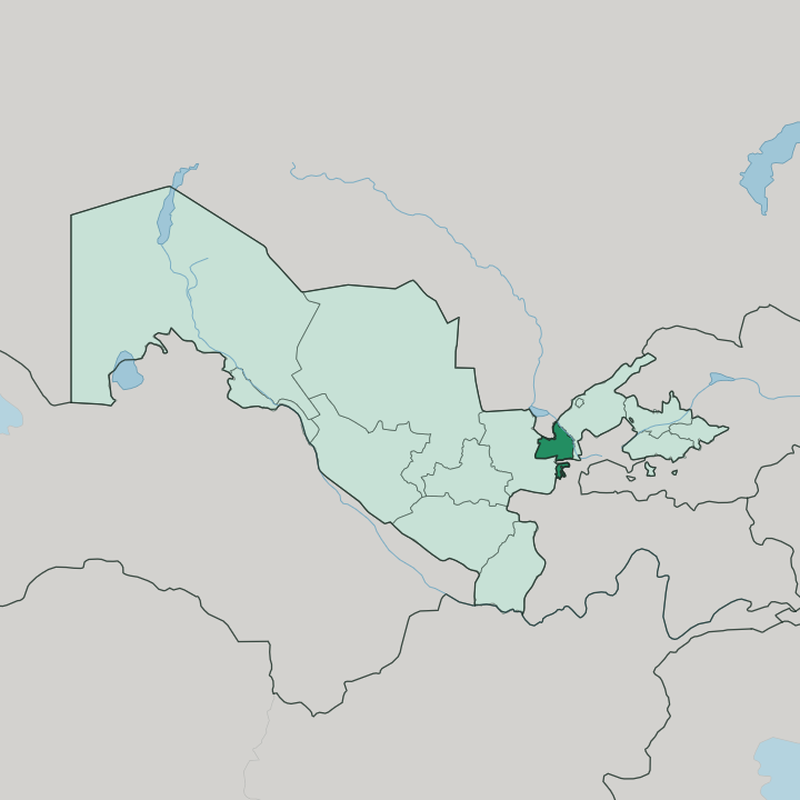
Towns & cities in Sirdaryo Region
Pick a town or city — each links to where to stay.
Guliston is the practical base. The regional capital sits on the southeastern Mirzachoʻl, and it holds most of what few beds and services the region offers. Yangiyer, a small planted town on the Syr Darya to the north, is the alternative if you want the riverside.
For anything grander, Tashkent lies an hour up the electric line. Choose Guliston to stay inside the region; ride north to the Uzbek capital when you want a wider choice of hotels.
About Sirdaryo Region
This is cotton country.
What is Sirdaryo Region known for?
Sirdaryo Region takes its name and its shape from the Syr Darya, whose water was diverted across the Mirzachoʻl to turn one of Central Asia's driest plains into irrigated farmland. Canals thread the fields. Cereal crops and cattle share the reclaimed land with the cotton, and the Mirzachoʻl melon grown here is prized across Uzbekistan for its sweetness.
Guliston anchors it all from the southeastern edge of the steppe.
Where is Sirdaryo Region?
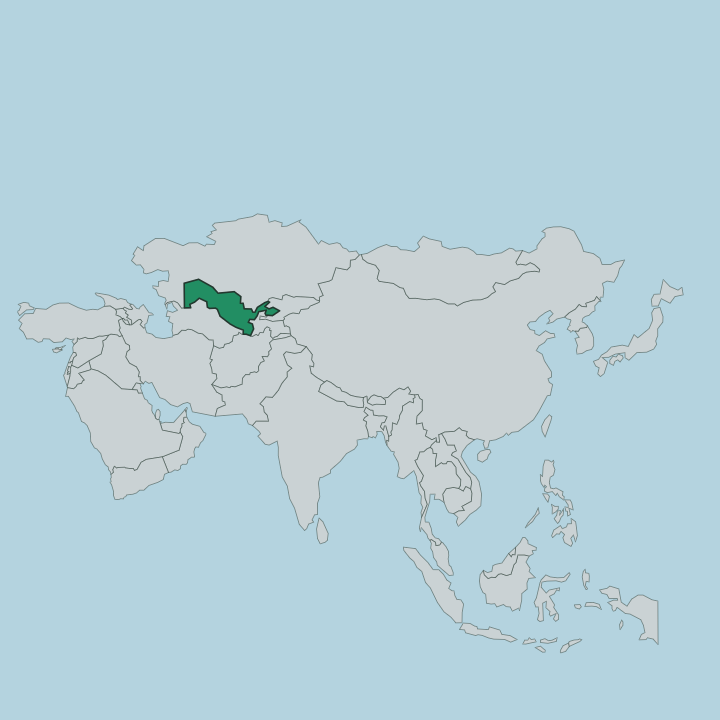
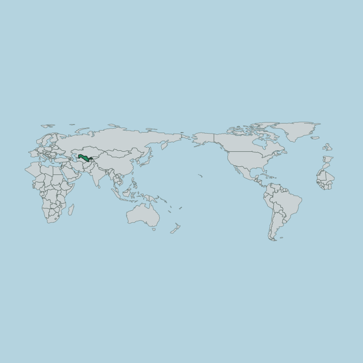
Sirdaryo Region sits in the centre of Uzbekistan, on the left bank of the Syr Darya. The river gives the region its name. It draws the eastern boundary, and beyond it lies Tashkent Region to the north-east.
Much of the land is the Mirzachoʻl, the loess plain also called the Hungry Steppe, a south-eastern extension of the Kyzylkum that runs west across Sirdaryo Region and into Jizzakh Region. The ground is flat and open, rising only gently from the river valley toward the steppe. It is a small region by area.
Its borders reach out to four neighbours at once. Kazakhstan lies to the north, Tajikistan to the south-east, Tashkent Region to the north-east, and Jizzakh Region to the west. Where the canals reach, the desert turns to cropland; where they do not, the steppe stays dry and pale. That single contrast, between watered field and open steppe, defines the whole region.
What is Sirdaryo Region like?
Life here follows the water. The whole region is a landscape the Soviet century made, when engineers ran canals off the Syr Darya to green the Hungry Steppe and settled farmers on the reclaimed land to grow cotton. Its towns are young and planned.
Guliston, Yangiyer and Shirin grew up as steppe-development settlements rather than as old caravan cities, and the region has little of the ancient monumental architecture that draws crowds to Samarkand or Bukhara. What it has instead is a working farm country. The rhythm of the year turns on the cotton crop and the irrigation season.
Most people are Uzbek and speak Uzbek, with a Tajik-speaking minority along the southern border near Tajikistan. The Mirzachoʻl melon carries the region's name to markets far beyond it. This is a place of fields and canals, not domes and minarets, and it wears that plainness openly.
What is the history of Sirdaryo Region?
For most of its past this was empty steppe. The Mirzachoʻl was too dry to farm, and only scattered herders crossed it until canal-building began before the First World War and expanded hugely under Soviet rule, when a decree of 1919 set out to irrigate the Hungry Steppe with Syr Darya water. Cotton followed the canals, and new towns rose on the reclaimed land.
Sirdaryo Region itself was established in 1963 to govern this made landscape.
What is the climate of Sirdaryo Region?
The climate is arid and sharply continental. Summers on the Mirzachoʻl are long and fierce, winters short but genuinely cold, and the gap between the two seasons is wide. Rain is scarce, most of it falling in the cooler months, which is why the cotton fields depend entirely on canal water drawn from the Syr Darya rather than on the sky.
Dust and heat define the summer steppe.
How do you get to Sirdaryo Region?
Nearly everyone arrives from Tashkent. The Uzbek capital lies about 120 kilometres to the north-east, and an electric train runs down to Guliston in roughly an hour, the easiest way in. Cars and buses use the M39 highway, part of the wider Asian Highway network, which crosses the region on its way south-west toward Samarkand.
Beyond Guliston the rail line carries on toward Tajikistan. There is no need to fly.
Common questions
What is the best area to stay in Sirdaryo Region?
Tashkent: travellers wanting city comforts nearby.
Updated July 2026