Uzbekistan
Fergana Region, Uzbekistan — Towns & Travel Guide


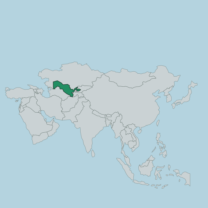
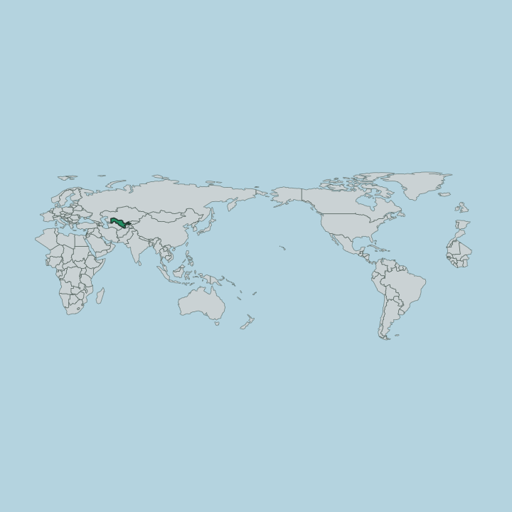
Fergana Region fills the southern floor of the Fergana Valley in far eastern Uzbekistan, silk country ringed by mountains.
About Fergana Region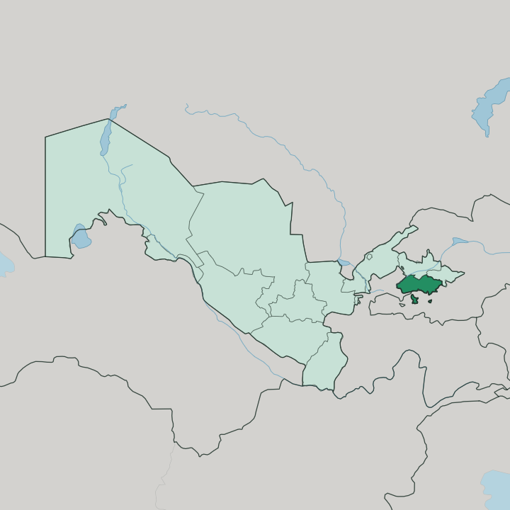
Towns & cities in Fergana Region
Pick a town or city — each links to where to stay.
Base yourself in Fergana. The regional capital runs on a grid, keeps the region's airport close by, and puts Margilan's silk workshops within a short drive of the door. Margilan itself suits travellers who want the looms right on their doorstep, though beds there run fewer.
Kokand holds the valley's far western edge. Choose Fergana for range and connections; choose Margilan or Kokand when you want to wake up inside the craft or the old Khanate's history rather than beside it.
About Fergana Region
What is Fergana Region known for?
Silk made this valley's name. Margilan has woven khan-atlas and adras on hand looms since the tenth century, and its workshops still dye thread by the old ikat method before it ever touches the loom. Kokand carries the other half of the story, the walled seat of the Khanate that once ruled the whole valley from its palace and mosques.
Between them sits Fergana, the young Russian-built capital laid out on a grid, and around all three spreads some of the most fertile cotton and orchard land in Central Asia.
Where is Fergana Region?
Fergana Region occupies the southern side of the Fergana Valley, in the far east of Uzbekistan. The valley is a mountain bowl. The Tian Shan ranges wall it off to the north, and the Alay Range rises along its southern rim, so the region sits pressed against that southern wall of peaks.
Beyond the mountains lie Kyrgyzstan to the east and Tajikistan to the south-west, and the Uzbek regions of Namangan and Andijan share the valley floor alongside it. That ring of ranges is the whole point of the place. It traps meltwater and warmth in a fertile depression that runs some 300 kilometres end to end, and it made the valley one of the most crowded and productive corners of Central Asia.
The Syr Darya threads the lowland, gathered upstream from the Naryn and the Kara Darya, and its water fans out through irrigation canals across the cotton and orchard land. The regional capital, Fergana, stands out on the plain below the Alay foothills, a planned Russian town laid on a grid. Margilan sits a short way north-west of it, and Kokand holds the valley's western gateway.
Little of the region is more than a day from a mountain skyline.
What is Fergana Region like?
Craft defines daily life here more than any monument does. Margilan is the anchor of it, a town that has woven silk since the tenth century and still turns raw thread into khan-atlas and adras on wooden looms. The method is ikat.
Weavers tie and dye the warp before weaving so the pattern blurs at its edges, and the finished cloth carries the rippled reds and yellows that Fergana silk has sold under for centuries. Uzbek is the everyday language across the region, spoken in the bazaars where the bolts of atlas hang. The craft reaches past cloth, too.
Rishtan, a town on the western side of the region, has fired blue-and-turquoise glazed pottery for close to a thousand years, its colour drawn from local clays and mineral glazes. Kokand adds the courtly layer to all of it. As the Khanate's capital it drew poets, calligraphers and builders, and the palace and madrasas they left still shape how the valley remembers itself.
Food follows the same settled rhythm as the crafts, built on the orchards and fields the mountains water. This is a valley of makers as much as growers.
What is the history of Fergana Region?
The valley has been settled since antiquity. After the Shaybanids fell, the Khanate of Kokand rose across the Fergana Valley in the early eighteenth century, growing from a fort at Kokand founded in 1732 into a state that reached far beyond the valley to Tashkent and the southern steppe. Russian forces annexed the Khanate in the eighteen-seventies and built a new administrative town, first named New Margilan and later Fergana, as the seat of their province.
The Soviet era fixed the borders in their modern shape and formally created the region in 1938. Three threads still run through it: the ancient craft towns, the Khanate's courtly capital, and the planned colonial grid.
What is the climate of Fergana Region?
Fergana Region has a dry continental climate, its extremes softened a little by the mountain walls that shelter the valley. Summers are long and fierce, with July afternoons in Fergana routinely climbing past 35 degrees and sometimes topping 40. Winters bite the other way, dropping near or below freezing in January.
Little rain reaches the Fergana valley floor. What little falls comes mostly in winter and spring, so the fields lean on Syr Darya meltwater carried through the canals rather than on the sky. The ranges that box in the valley are what make it this parched and this sunny.
How do you get to Fergana Region?
Getting in means crossing mountains. Fergana International Airport takes domestic flights from Tashkent that hop the ranges in well under an hour, and its terminal sits close to the city centre. Overland, the road and railway both climb the Kamchik Pass, the high crossing that links the valley to the rest of Uzbekistan through the Tian Shan foothills.
Trains run from Tashkent through Kokand to the main station at Margilan, a quarter-hour from Fergana, taking the better part of a day. Shared taxis grind over the same pass for those who would rather drive.
Good for
Updated July 2026