
Argentina
Río Negro Province, Argentina — Towns & Travel Guide


Río Negro spreads across northern Patagonia, from the Andes near Chile east down the Negro River to the Atlantic.
Find your area →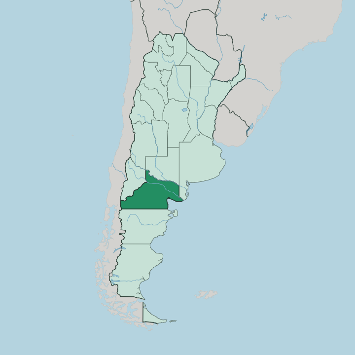
Towns & cities in Río Negro Province
Pick a town or city — each links to where to stay.
 Argentina
San Carlos de Bariloche
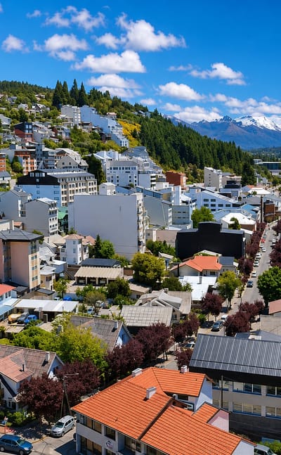
Snow lines the peaks above Bariloche, a lakeside city in the Patagonian Andes on the shore of Nahuel Huapi Lake, known for skiing and its alpine chocolate…Where to stay →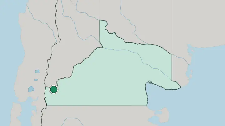
About Río Negro Province
Two very different places anchor the province.
What is Río Negro Province known for?
In the far west, San Carlos de Bariloche sits on the shore of Nahuel Huapi Lake, ringed by Andean peaks and the forests of Nahuel Huapi National Park. That lakeside city draws most of the visitors. The centre tells the other story, where the Negro River waters the orchards of the Alto Valle that grow the bulk of Argentina's apples and pears.
Along the Atlantic edge, the beach town of Las Grutas sits on the warm-watered San Matías Gulf. Bariloche is the largest city; Viedma, near the river's Atlantic mouth, is the capital.
Where is Río Negro Province?
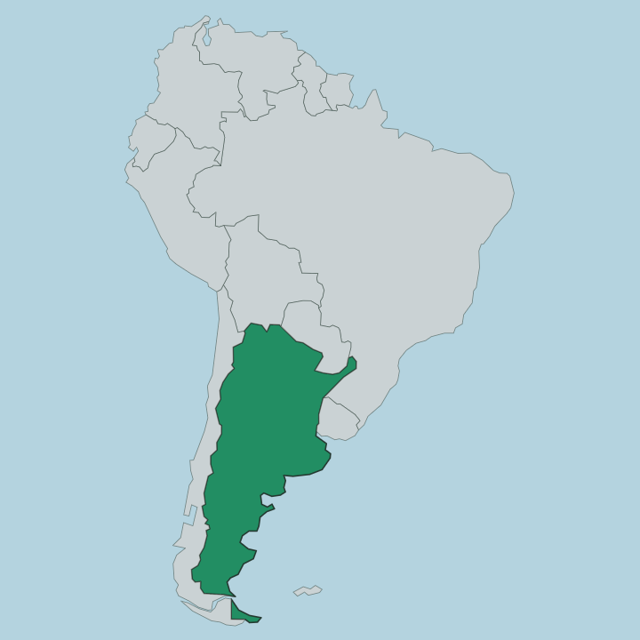
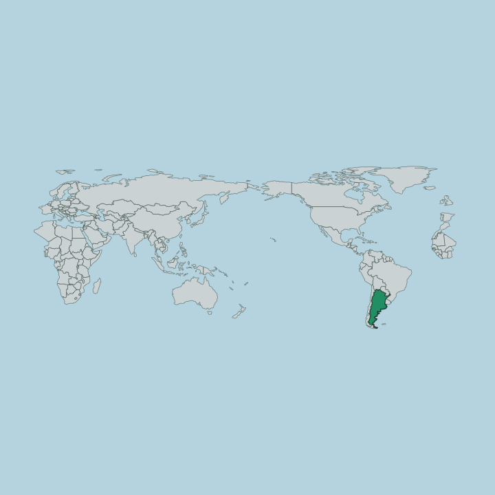
Río Negro fills the northern band of Patagonia, reaching from the Andes on the Chilean border in the west across the whole width of the country to the Atlantic Ocean in the east. It is the fourth-largest of Argentina's provinces by area. Four landscapes divide it.
In the west rise the Andes, forested and lake-strewn, where Nahuel Huapi Lake sits below the peaks near San Carlos de Bariloche. South of the valley spreads the great dry Patagonian plateau, a semi-arid steppe of low scrub and wind. Along the eastern edge runs the Atlantic coast, where the San Matías Gulf cuts into the shore near Las Grutas.
The Negro River ties these apart-lying regions together. It begins where the Limay River and the Neuquén River meet at the province's western corner, on the boundary with Neuquén Province. From that confluence it runs southeast for hundreds of kilometres, cutting a green irrigated ribbon through the steppe.
The river reaches the ocean near Viedma, the capital, at the eastern extreme. To the north, the Colorado River marks the province's boundary. That single watercourse decides where people live.
What is Río Negro Province like?
Life here bends toward two things: the orchard and the mountain. The irrigated valley of the Negro River holds the province's older working culture, where the Alto Valle grows the apples and pears that make Río Negro Argentina's fruit basket. Packing sheds, cider, and the autumn harvest set the rhythm of the valley towns.
The same cool valley has turned to the vine, and elegant, cool-climate Pinot Noir and Malbec now come out of its wineries. That is one half of the province. The other half looks to the Andes.
Around San Carlos de Bariloche, an Alpine-flavoured culture of chocolate shops, wood-and-stone architecture, and Central European settlement grew up beside Nahuel Huapi Lake. Bariloche is famous for its chocolate. Mapuche heritage runs beneath both worlds, in place names and craft across the region.
Spanish is the common language. The steppe in between keeps its own sparse, weathered character, herding country far from either the peaks or the sea. Few provinces hold landscapes this far apart.
What is the history of Río Negro Province?
Spain sent the explorer Basilio Villarino up the Negro River in 1782, one of the earliest European pushes into Patagonia, and Viedma counts among the oldest settlements on the coast. For a century the land stayed a frontier. The state organised it as the National Territory of Río Negro in 1884, after the army's Conquest of the Desert opened Patagonia to settlement.
Provincehood came late. A national law authorised the province in 1955, and Río Negro finally took full provincial status in 1957, electing its first governor. The orchards and the railway made the valley towns that followed.
What is the climate of Río Negro Province?
Climate splits with the terrain. The Andean west is cold and wet, catching the rain and the winter snow that feed the ski slopes above San Carlos de Bariloche. Everywhere east of the mountains turns dry.
The Alto Valle and the Atlantic coast keep a cold semi-arid climate, sunny and windy, with only a thin band of rain across the year, the irrigated Negro River, not the sky, keeps the orchards green. Summers on the coast at Las Grutas are warm and bright, winters cool. The wind is the constant.
How do you get to Río Negro Province?
Most visitors fly straight to Bariloche, whose airport carries the province's heaviest traffic thanks to the Andean lakes. Flights link it nationwide. Viedma, the capital in the east, has its own airport near the Atlantic coast.
Overland, the province stretches the full breadth of northern Patagonia, so a road trip crosses from the mountains to the sea along the line of the Negro River. Long-distance buses link the valley towns of the Alto Valle, and a historic train still runs west toward the Andes.
Common questions
What is the best area to stay in Río Negro Province?
San Carlos de Bariloche: the Andean lakes and slopes.
Good for
Updated July 2026