Brazil
Amazonas, Brazil — Towns & Travel Guide


Amazonas is Brazil's largest state, a rainforest expanse split by the Rio Negro and the Solimões, which join at Manaus to form the Amazon River.
Find your area →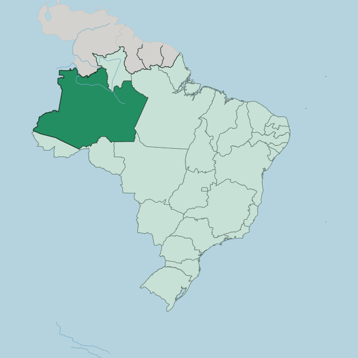
Towns & cities in Amazonas
Pick a town or city — each links to where to stay.
 Brazil
Manaus
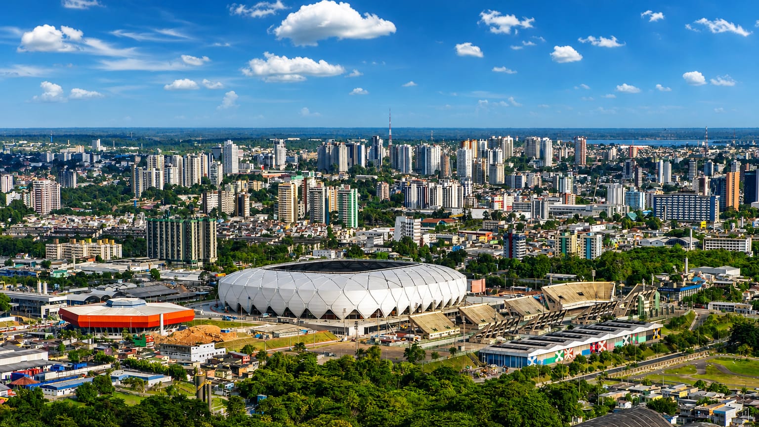
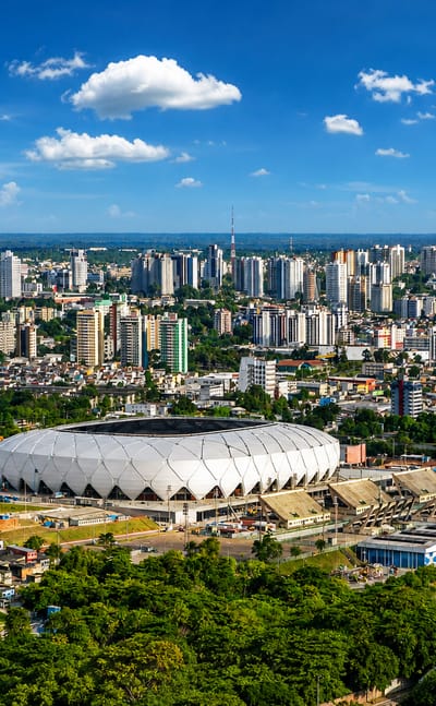
Dark and pale rivers braid past Manaus, the capital of Amazonas deep in the Amazon rainforest, known for the Teatro Amazonas opera house.Where to stay →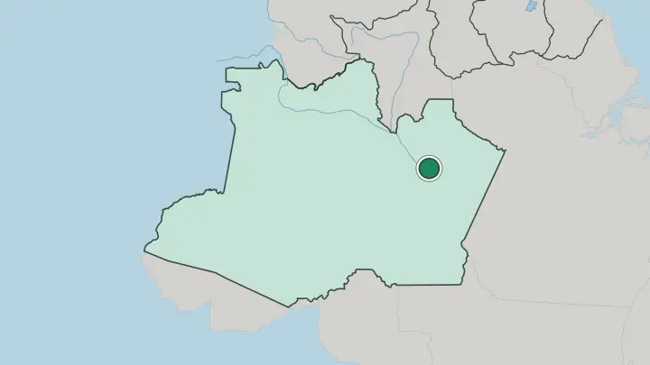
About Amazonas
What is Amazonas known for?
Amazonas is the largest state of Brazil, and rainforest covers nearly all of it. Manaus anchors everything. The capital sits at the confluence of the black Rio Negro and the sandy Solimões, and boats fan out from its docks to reach towns that no road connects.
Rubber wealth built the Teatro Amazonas here, an opera house of Italian marble dropped into the jungle. Just downstream, the Meeting of Waters runs two rivers side by side for miles before they blend. Pink dolphins surface in the flooded forest.
Where is Amazonas?
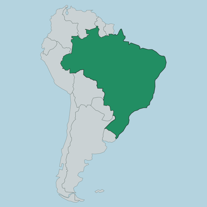
Amazonas is by far the biggest of Brazil's states, spread across the upper Amazon basin. Nearly all of it is rainforest. Its western border runs up against Colombia and Peru, Venezuela closes off the north, and the neighbouring states of Pará, Roraima, Rondônia, Acre and Mato Grosso ring the rest.
Two great rivers set the geography. The Solimões carries pale, sediment-heavy water down from the Andes and across Peru, while the black Rio Negro drains the older, leached soils of the Colombian and Venezuelan uplands. They join at Manaus.
From that confluence eastward the united channel takes the name Amazon River, the thread that every town in the state is strung along. There are almost no roads. Distances here are measured in river days, not in kilometres, and the boat is how people and cargo move between settlements.
Upstream of Manaus the Rio Negro breaks into the Anavilhanas, one of the largest freshwater archipelagos on Earth, a maze of wooded islands and channels that floods and drains with the season. Most of the state lies far from any city. Settlement clings to the water, so the map of Amazonas is really a map of its rivers.
What is Amazonas like?
Portuguese is the common language, but it shares the state with dozens of Indigenous tongues still spoken along the rivers. No Brazilian state counts more Indigenous people. Many of its people are ribeirinhos, river-dwelling families of mixed Indigenous, African and Portuguese descent, living in stilt houses and moving by canoe.
Their world runs on the flood. When the waters rise the forest itself becomes navigable, and fishing, farming and travel all bend to the rhythm of the river. City culture concentrates in Manaus.
The Teatro Amazonas still stages the Festival Amazonas de Ópera and houses a resident philharmonic, a legacy of the rubber years when the city shipped in European opera at the height of its wealth. Downriver at Parintins, the Boi-Bumbá takes over. Each June the town splits between two rival groups, the red Garantido and the blue Caprichoso, who retell a folk legend of a resurrected ox in a purpose-built arena before thousands.
The food is its own culture: pirarucu and tambaqui pulled from the rivers, tacacá soup sharp with jambu leaf that numbs the tongue, and fruits like tucumã and cupuaçu that rarely leave the region.
What is the history of Amazonas?
The territory became the Province of Amazonas in 1850, split from the older Grão-Pará. It joined the new Brazilian republic as a state in 1889. Rubber made it rich.
Between roughly 1890 and 1910 wild rubber from the surrounding forest turned Manaus into one of the wealthiest cities on the continent, the self-styled Paris of the Tropics, and paid for the Teatro Amazonas. Then Asian plantations undersold the wild latex and the boom collapsed. The city slept for decades.
It woke again when the Manaus Free Trade Zone opened in 1967.
What is the climate of Amazonas?
Amazonas sits on the equator, so it is hot and wet the whole year through. There is no winter. What changes is the water, not the temperature: the calendar splits into a rainy high-water season, the cheia, and a drier low-water spell, the seca.
During the cheia the Rio Negro and Solimões can rise by many metres and drown the low várzea forest for months, so people travel and fish above ground that was dry the season before. Humidity is constant. Rain is heaviest in the first months of the year, easing toward the drier stretch around midyear.
How do you get to Amazonas?
For most visitors to Amazonas, the plane is the only realistic way in. Manaus and its Eduardo Gomes International Airport are the way in, linked by daily flights to São Paulo and other Brazilian cities. Driving is barely an option, because only one long highway reaches the capital and most of the interior has no roads at all.
From Manaus the journey continues by water or small plane. Riverboats work their way up and down the Amazon River to Parintins, Tefé and dozens of smaller ports. Some journeys last for days.
The city stands far inland, a long haul up the rivers from the Atlantic.
Common questions
What is the best area to stay in Amazonas?
Manaus: a first base and the Teatro Amazonas.
Good for
Updated July 2026