Chile
Región de Arica y Parinacota, Chile — Towns & Travel Guide


Arica y Parinacota is Chile's northernmost region, where the Atacama meets the Pacific and the Andes climb toward Bolivia.
About Región de Arica y Parinacota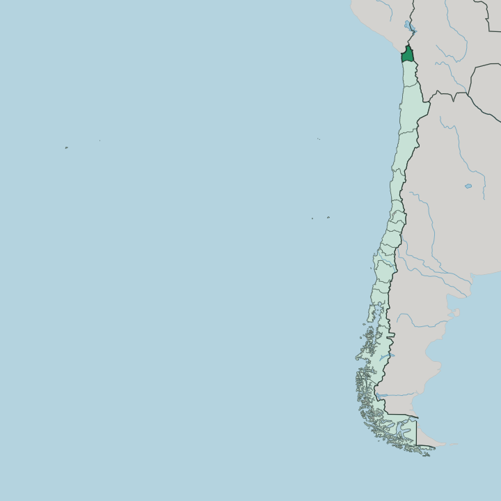
Towns & cities in Región de Arica y Parinacota
Pick a town or city — each links to where to stay.
Almost everyone stays in Arica. The port city holds the region's hotels and its beaches, and it is the base for day trips in every direction. Down at the coast the sun is steady and the sea is close, with El Laucho and La Lisera within walking reach of the centre.
Putre, high in the mountains near Lauca National Park, is the other place to sleep, a small Aymara town where travellers stop to acclimatise before the Altiplano. Choose Arica for the beaches, the Azapa valley and the Chinchorro sites; choose Putre when the high country is the point.
About Región de Arica y Parinacota
What is Región de Arica y Parinacota known for?
This is Chile's far north, pressed into the corner where Peru and Bolivia meet the Pacific. Arica anchors it. The port city sits just south of the Peruvian border, warm and dry the year round, and holds most of the region's people and beds.
Inland the land rises fast, from the coastal desert through the Azapa and Lluta valleys to the high Altiplano and Lauca National Park. The Chinchorro mummies, made here on the Atacama coast, are the oldest artificially preserved human remains anywhere on earth.
Where is Región de Arica y Parinacota?
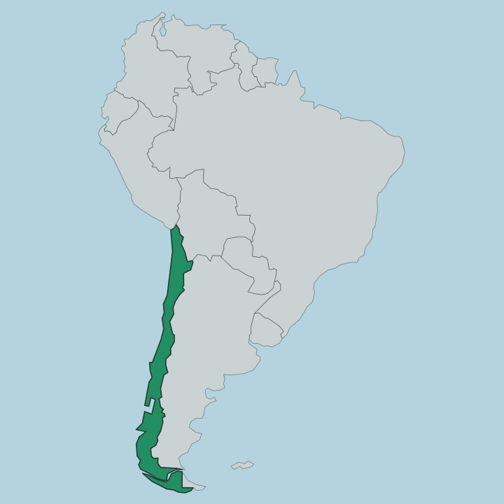
Arica y Parinacota fills the northernmost corner of Chile, wedged against two borders and the sea. Peru lies just to the north, close enough that the port of Arica sits only a short drive from the frontier. Bolivia lies to the east, high up in the Andes, and the Tarapacá Region continues down the Chilean coast to the south.
The Pacific forms the whole western edge. Between the ocean and the mountains the land climbs in bands, and the change over a single day's drive is extreme. The coast is bone-dry Atacama, one of the driest deserts on earth, broken only where the Azapa and Lluta rivers cut green valleys down to the sea.
Above the desert the ground rises through the precordillera to the Altiplano, a high plateau that runs into Bolivia. Lauca National Park spreads across that plateau, and the Parinacota volcano marks the Bolivian line at well over 6,000 metres. Lake Chungará lies below it, one of the highest lakes anywhere.
Little sits in between. From surf to snow-line is a matter of hours, not days, and that vertical sweep defines the region more than any border does.
What is Región de Arica y Parinacota like?
Two worlds share this region, and they sit an altitude apart. On the coast Arica is a Chilean port city, tied to the Pacific and the border trade with Peru and Bolivia. Up in the mountains the culture is Aymara, and the highlands hold the deepest roots.
Most of the region's Indigenous people are Aymara, and their hamlets are scattered across the precordillera and the Altiplano, herding llamas and alpacas and farming terraced valleys as they have for centuries. Putre and the smaller villages keep the old stone churches, the festivals and the language alive above the desert. The Chinchorro heritage reaches back further still.
Marine hunter-gatherers settled this coast thousands of years ago and left the world's oldest artificial mummies in the sand around Arica, a legacy now protected as a World Heritage listing. Food carries the same split. The Azapa valley grows the olives and citrus the region is known for, while highland tables lean on quinoa, maize and camelid meat.
Spanish is the common tongue on the coast; Aymara is still spoken in the hills. It is a small region with a long memory.
What is the history of Región de Arica y Parinacota?
Arica was a Peruvian port until the War of the Pacific. Chile took the city and its hinterland in 1880, when its troops stormed the Morro de Arica, the headland that still looms over the harbour. A treaty drew the border in 1929.
It left Arica Chilean and neighbouring Tacna with Peru, and for most of the century that followed this corner belonged to the larger Tarapacá Region to the south. The split came late. Arica y Parinacota became a region in its own right only in 2007, carved off to govern Chile's far north from its own capital at Arica.
What is the climate of Región de Arica y Parinacota?
The coast barely knows rain. Arica sits in the Atacama, one of the driest places on earth, yet the cold Pacific keeps it mild rather than scorching, and locals call it the city of eternal spring for its steady, sunlit warmth. Cloud often greys the mornings before the sun burns through.
Climb inland and everything changes with the altitude. The Altiplano around Lauca National Park is cold and thin-aired, and summer brings the highland rains that fill Lake Chungará and green the puna. Two climates, one short road between them.
How do you get to Región de Arica y Parinacota?
Most visitors fly into Chacalluta, the airport north of Arica near the Peruvian line, with connections down to Santiago and the rest of Chile. The Pan-American Highway is the overland spine, running north across the border into Peru and south through the Atacama toward central Chile. Buses cross east into Bolivia over the Andes as well.
From the coast, the mountains take a half-day drive up a single climbing road, gaining thousands of metres to Putre and Lauca National Park. Distance is not the problem. The altitude is the real barrier here.
Good for
Updated July 2026