Iran
Markazi Province, Iran — Towns & Travel Guide


Markazi Province spreads across west-central Iran between the Zagros and Alborz ranges, built around Arak, the country's industrial capital.
About Markazi Province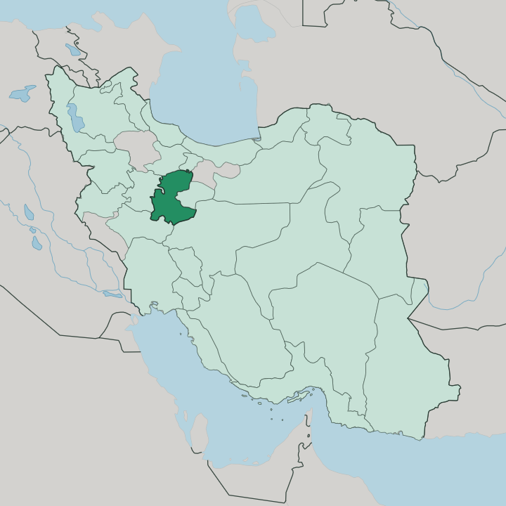
Towns & cities in Markazi Province
Pick a town or city — each links to where to stay.
Arak is the obvious base. The capital holds most of the province's beds and sits where its main roads and the Trans-Iranian Railway cross, an easy centre from which to reach the rest. Saveh anchors the north, a pomegranate town on the highway down from Tehran and Qom.
Mahallat, off to the south, trades on its hot springs and greenhouse flower farms. Khomein guards the quiet western farmland toward Lorestan. Choose Arak for a first stop; pick Saveh, Mahallat, or Khomein when a smaller town suits you better.
About Markazi Province
Arak drives the province.
What is Markazi Province known for?
Iran's carpet-weaving heartland and its heavy-industry base share the same ground here, where the hand-knotted Sarouk rug and the steel mill both trace back to the plain around the capital. The Machine Sazi Arak works and the country's main aluminium smelter earned the city its nickname as the industrial capital of Iran. Weavers in Arak and the surrounding villages made the region Iran's leading carpet exporter.
Salt flats and the Meighan wetland break the farmland to the north. Zagros foothills close it off to the west.
Where is Markazi Province?
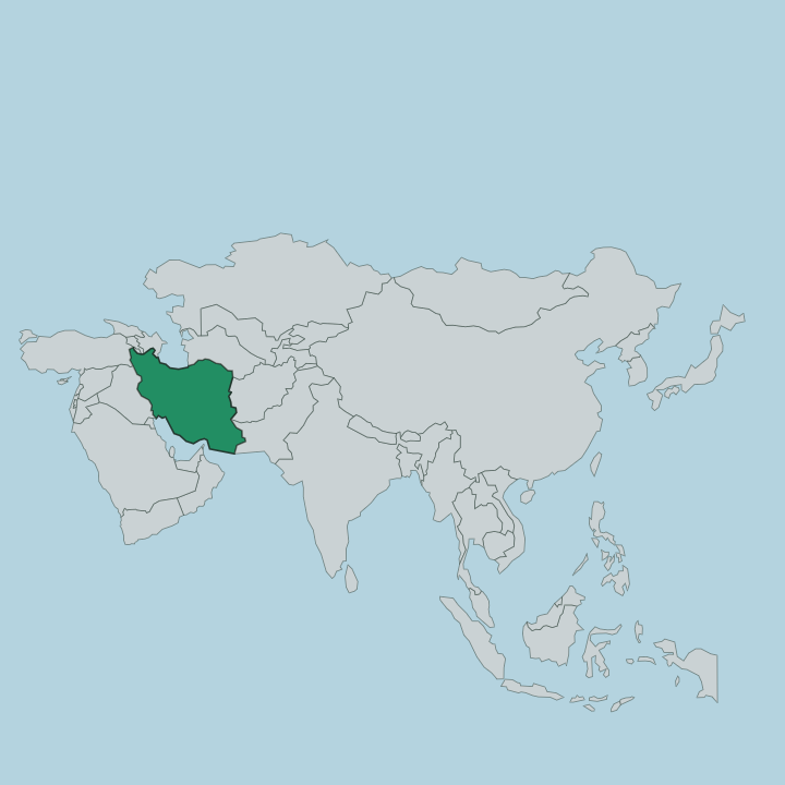
Markazi Province sits on the high inland plateau of central Iran, roughly southwest of Tehran between the Zagros and Alborz systems. The name means central, though the province leans toward the west of the country. Seven provinces wrap around it.
Qom lies to the east and Isfahan to the south, with Lorestan on the southern flank toward the mountains, Hamadan to the west, and Tehran's sprawl reaching down from the north. Arak stands near the middle of it all, the capital and largest city on the plain. Three landscapes crowd inside those borders.
Bare Zagros ridges rise in the south and west around Shazand, temperate foothills fold in toward Arak, and dry semi-desert flats open out toward Saveh in the north. The Qara Chai is the province's main river, cutting through the highlands before the water gives out on the plain. North of Arak the streams drain into the Meighan salt wetland, a shallow endorheic lake that is mined for sodium sulfate and draws flamingos and cranes on their migrations.
It has no outlet to the sea. Salt, not surf, marks the low ground here.
What is Markazi Province like?
Wool and knots run through the province's story. The villages around Farahan and Arak turned carpet-weaving into an export trade in the nineteenth century, and the Sarouk pattern still carries the name of a single weaving village near the capital. European firms shipped Soltanabad rugs west by the bale.
The looms shaped fortunes and reputations alike. Two of Iran's most consequential figures came from this ground: Amir Kabir, the reforming Qajar chief minister, was born at Hazaveh in Farahan, and Ruhollah Khomeini took his name from the town of Khomein where he was born. The past is easy to see.
Ruined stone columns stand at Khorheh near Mahallat, the remains of a temple from Seleucid or Parthian times. Arak keeps one of the country's longest covered bazaars and the tiled Chahar Fasl bathhouse, now a museum. Saveh guards a Seljuk Jameh Mosque and orchards famous for their pomegranates.
Persian is the everyday language, with Azeri, Kurdish, and Lori heard among smaller communities across the counties. It is a working province more than a resort one, and the interest lies in its bazaars, shrines, and looms rather than in any beach or ski slope.
What is the history of Markazi Province?
The land was Median country in the first millennium BC, later folded into the region early Muslim geographers called Jibal. Arak itself is young. It began as Soltanabad, a garrison town laid out in 1808 under the Qajar shah Fath-Ali Shah.
Carpet money built the place up through the nineteenth century, when Soltanabad rugs went abroad by the crate and the surrounding villages wove for European buyers. Reza Shah renamed the town Arak and ran the Trans-Iranian Railway through it, turning a market town into an industrial one.
What is the climate of Markazi Province?
Height sets the weather. The province sits high on the plateau, so summers run hot and dry while winters turn cold, with snow settling on the Zagros heights around Shazand. Rain stays scarce.
What little falls comes mostly in winter and early spring, once the mountains to the west have stripped the moisture from the passing weather. Saveh and the northern flats bake under a semi-desert sky, Arak and its foothills stay milder, and the high country runs coldest of all. By late summer the Meighan flat dries to a crust of salt.
How do you get to Markazi Province?
Most people reach Markazi by road or rail. Arak lies on the freeway southwest of Tehran, an easy run of a few hours down past Qom and Saveh. The Trans-Iranian Railway threads the same corridor, and Arak has kept its station since the line first reached the city in 1935.
Arak Airport handles the odd domestic flight, though rail and road carry the bulk of the traffic. From the south the roads climb up from Isfahan, and from the west they cross in from Hamadan. Trains do the heavy lifting.
Good for
Updated July 2026