Mexico
Estado de Guerrero, Mexico — Towns & Travel Guide


Guerrero is a Pacific-coast state of southwestern Mexico, where the Sierra Madre del Sur falls to Acapulco and the beaches of the Costa Grande.
About Estado de Guerrero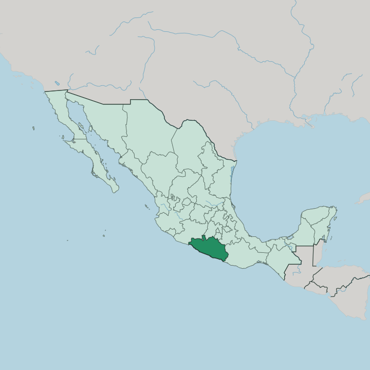


Towns & cities in Estado de Guerrero
Pick a town or city — each links to where to stay.
 Mexico
Acapulco de Juárez
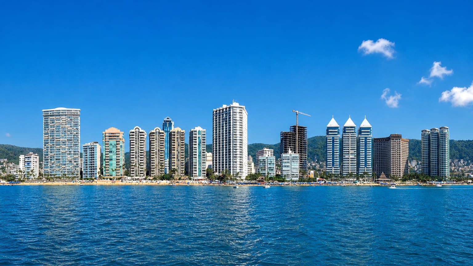
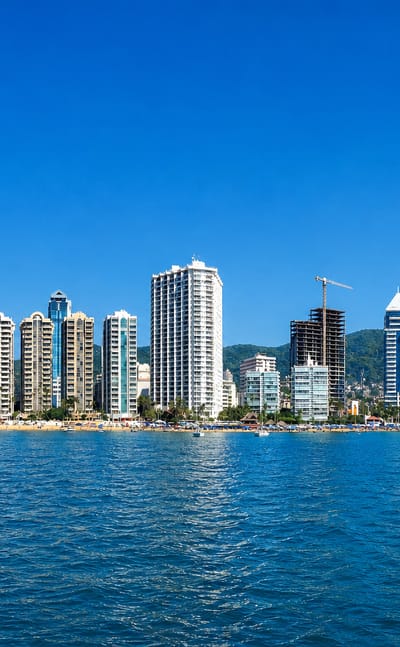
Acapulco de Juárez curves around a deep Pacific bay in Guerrero, a seaport and resort city known for Fuerte de San Diego.Where to stay →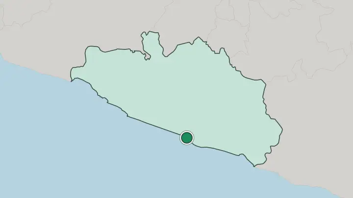
About Estado de Guerrero
Acapulco made Guerrero famous.
What is Estado de Guerrero known for?
The bay's cliff divers plunge from La Quebrada, and the resort strip has drawn Mexico City weekenders down the Autopista del Sol for generations. Northwest along the Costa Grande, Ixtapa and Zihuatanejo trade the glitz for a quieter fishing-bay pace. Inland, the silver town of Taxco climbs a mountainside below the Sierra Madre del Sur, its whitewashed lanes tumbling around the Santa Prisca church.
Chilpancingo, the state capital, sits between them in the highland interior.
Where is Estado de Guerrero?
Guerrero curves along the Pacific coast of southwestern Mexico, its shoreline running for hundreds of kilometres between the states of Michoacán and Oaxaca. Behind the beaches the land climbs fast. The Sierra Madre del Sur fills most of the state, a rumpled wall of ridges and deep barrancas that leaves only a thin coastal plain and a scatter of river valleys for towns and farms.
Inland, Guerrero shares borders with the State of Mexico, Morelos and Puebla to the north. Chilpancingo, the capital, sits in a highland basin along the road that climbs from the coast toward Mexico City. Geographers split Guerrero into three worlds.
The coast, La Costa, divides at Acapulco into the Costa Grande stretching northwest to Zihuatanejo and the Costa Chica running southeast toward Oaxaca. Above it stands La Montaña, the poor, folded highland where most of the state's indigenous towns cling to the slopes. Northwest lies the Tierra Caliente, a hot lowland threaded by the Río Balsas, which drains the interior and marks much of Guerrero's northern edge before cutting west to the sea.
Shorter rivers such as the Papagayo tumble straight off the sierra to the Pacific. Little of the state is flat.
What is Estado de Guerrero like?
Four indigenous peoples give Guerrero much of its character. The Nahua, Mixtec, Tlapanec and Amuzgo hold the highland towns of La Montaña, where Spanish shares the streets with more than a dozen native languages, and Amuzgo women weave bold cloth on backstrap looms. The coast tells another story.
Along the Costa Chica, between Acapulco and the Oaxaca line, live Afro-Mexican communities descended from Africans brought to the Pacific coast in colonial times, a heritage found in few other corners of Mexico. Silver made Taxco. The town has worked the metal since colonial mines opened in the hills above it, and up in the sierra the village of Olinalá lacquers boxes and gourds by hand in a technique older than the Spanish conquest.
The table is just as particular. Pozole, a hominy stew, is a Thursday ritual across Guerrero, ladled out green with pumpkin seed and herbs. Brass bands, fireworks and masked dances like the tlacololeros crowd the village saint's-day calendars.
In Taxco, hooded penitents haul thorn bundles through the streets each Holy Week. The Costa Chica keeps its own sound, the chilena, a song-and-dance carried up the Pacific coast from Chile by nineteenth-century sailors.
What is the history of Estado de Guerrero?
Guerrero is young as a state but old as a stage for revolt. Two towns wrote themselves into Mexico's independence here: at Chilpancingo in 1813 José María Morelos gathered the first congress to declare the country free, and at Iguala in 1821 the Plan of Iguala sealed the break with Spain. The state itself was cut in 1849 from land taken from the State of Mexico, Puebla and Michoacán, and named for Vicente Guerrero, the insurgent general and second president who was born in these hills.
Rebellion has marked it ever since.
What is the climate of Estado de Guerrero?
Guerrero runs hot. Acapulco and the coast keep a tropical rhythm all year, dry and bright from November into April, then muggy through a summer of afternoon storms that peak in September. The Tierra Caliente, the lowland trough of the Río Balsas, bakes hotter still.
Only height brings relief: up in the Sierra Madre del Sur the air cools to something temperate, and rain piles onto the windward ridges. Pack for heat near the sea.
How do you get to Estado de Guerrero?
The coast has two airports. Acapulco's General Juan N. Álvarez International Airport carries the bulk of the traffic, while the Ixtapa-Zihuatanejo International Airport handles the Costa Grande resorts to the northwest. Drivers reach Acapulco from Mexico City in about four hours down the Autopista del Sol, the toll road that vaults the Sierra Madre del Sur and passes Chilpancingo on the way.
Coastal Highway 200 then threads the beach towns end to end. The mountain interior is slower going.
Good for
Updated July 2026