Mexico
Estado de Sinaloa, Mexico — Towns & Travel Guide


Sinaloa is a Pacific-coast state of northwestern Mexico, a farm-rich plain between the Sierra Madre Occidental and the Gulf of California.
Find your area →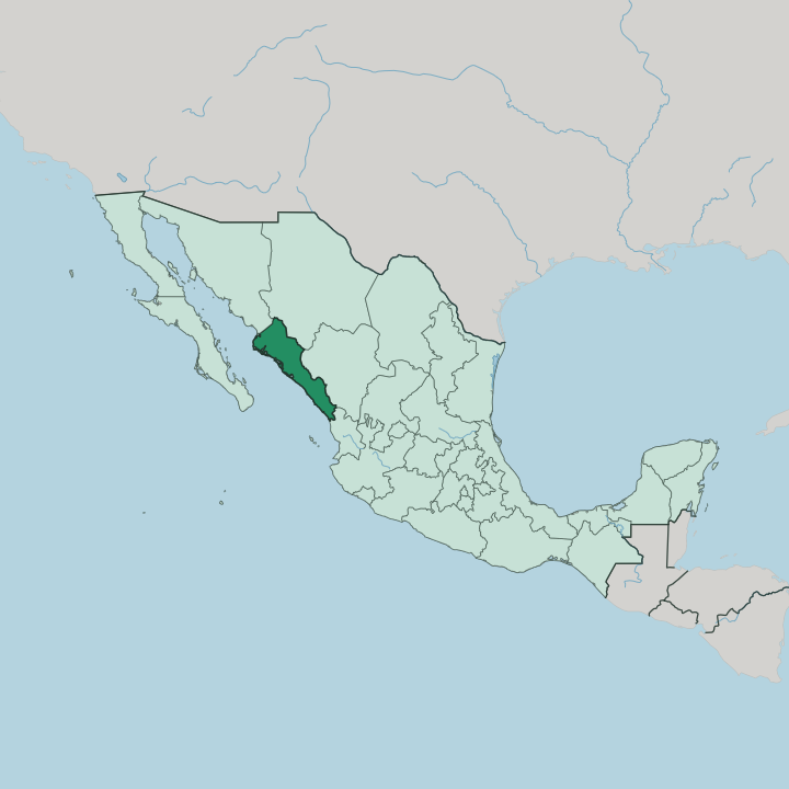


Towns & cities in Estado de Sinaloa
Pick a town or city — each links to where to stay.
 Mexico
Culiacán
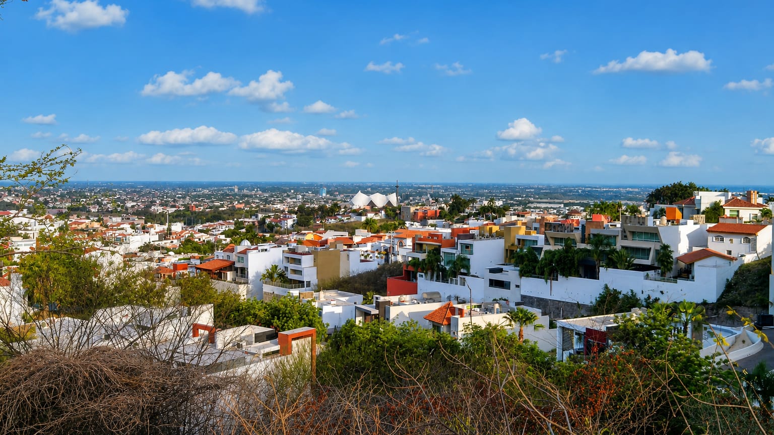
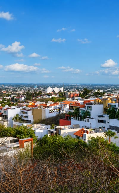
A hilltop church watches over Culiacán, capital of Estado de Sinaloa, known for its cathedral and the Sinaloa Museum of Art.Where to stay →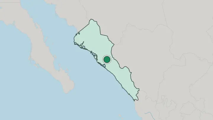
About Estado de Sinaloa
Sinaloa feeds Mexico.
What is Estado de Sinaloa known for?
Its irrigated coastal plain is the country's leading vegetable garden, and the tomatoes, peppers, and grain grown along the Fuerte River and the Culiacán River travel north across the border through the winter. The other Sinaloa is musical: banda sinaloense, the brass-and-percussion sound of the state, took shape in Mazatlán and plays at fiestas across the country. Mazatlán itself draws most visitors, a Pacific port and beach city on the Gulf of California.
Culiacán is the working capital inland.
Where is Estado de Sinaloa?
Sinaloa runs as a long, narrow band down the Pacific side of northwestern Mexico. The Sierra Madre Occidental walls it in on the east, a high pine-and-oak range whose ridgelines mark the borders with Chihuahua and Durango. From those mountains the land falls through foothills to a wide coastal plain, and out to the Gulf of California.
The coast is long and low, fringed with lagoons, mangrove esteros, and barrier islands like Altamura and Santa María. Sonora lies to the northwest and Nayarit to the southeast. Across the gulf lies the unseen peninsula of Baja California Sur. Rivers define the plain.
Several run off the Sierra Madre Occidental and cross the lowland to the sea: the Fuerte River in the north, the Sinaloa River in the centre, and the Culiacán River formed where the Humaya and Tamazula meet at the capital. Their valleys are the farmland. Federal dams raised across the Fuerte River and the Humaya turned seasonal flood into steady irrigation, and the delta became one of Mexico's great vegetable gardens.
Between them, canals fan out across ground that would otherwise be dry scrub, and it is this irrigated plain, not the mountains, that most of the state's people and cities sit on.
What is Estado de Sinaloa like?
Sinaloa sounds like brass. Banda sinaloense, the tuba-and-clarinet dance music heard at fairs across Mexico, grew out of Mazatlán in the nineteenth century, when German merchants brought wind instruments to the port and local players married them to older sones and corridos. The tambora drum gives it its pulse.
It carries from beach bars to bus stations. Every February that music floods the Mazatlán streets for Carnaval, one of the oldest Carnival celebrations in the country, when floats and crowds fill the seafront Malecón. The songs and the corrido tradition still shape how the state pictures itself.
Food is the other constant, and most of it comes from the sea. Aguachile, raw shrimp cured in lime and blistering chiltepín chile, is a Sinaloan invention, served the length of the coast. Mazatlán's Plaza Machado fills with diners under the laurels each evening.
Smoked marlin tacos, chilorio pork from the ranch country, and the day's catch off the Mazatlán boats round out the table. Spanish is the language. Inland, the pull is agricultural rather than coastal: Culiacán is a city of growers, packers, and the fortunes made on the irrigated plain, and its baseball team fills the stadium as surely as banda fills the plazas.
What is the history of Estado de Sinaloa?
Sinaloa's colonial story starts in 1531, when Nuño Beltrán de Guzmán's expedition founded the villa that became Culiacán among a dense patchwork of native peoples. For three centuries the region was a remote northwestern frontier of New Spain, worked for silver and souls. Independence redrew it.
Sinaloa and Sonora were first yoked together as the State of Occidente, then separated, and Sinaloa stood up as a state in its own right in 1831. Mazatlán grew rich afterward as its Pacific port.
What is the climate of Estado de Sinaloa?
Sinaloa runs hot. The coast and the river plains have a dry-tropical climate with two blunt seasons: a long rainless winter and spring, then a humid summer when the monsoon breaks over the Sierra Madre Occidental and dumps most of the year's rain between July and September. Culiacán bakes in that season.
Pacific hurricanes can brush the coast from summer into autumn, usually arriving spent but sometimes drenching Mazatlán and the north. Up in the sierra it stays cooler and greener.
How do you get to Estado de Sinaloa?
Mazatlán is the main way in by air, its General Rafael Buelna International Airport handling the state's international flights and its beach traffic. Culiacán runs the busier domestic airport inland. Los Mochis holds a third in the north, and the tolled Highway 15 threads the whole length of Sinaloa, tying Los Mochis, Culiacán, and Mazatlán into one coastal line.
A car ferry crosses the Gulf of California from Mazatlán to La Paz. From Los Mochis, the El Chepe railway climbs east into the Copper Canyon.
Common questions
What is the best area to stay in Estado de Sinaloa?
Culiacán: the agricultural capital of Sinaloa.
Good for
Updated July 2026