DoaluKnow the place before you book.
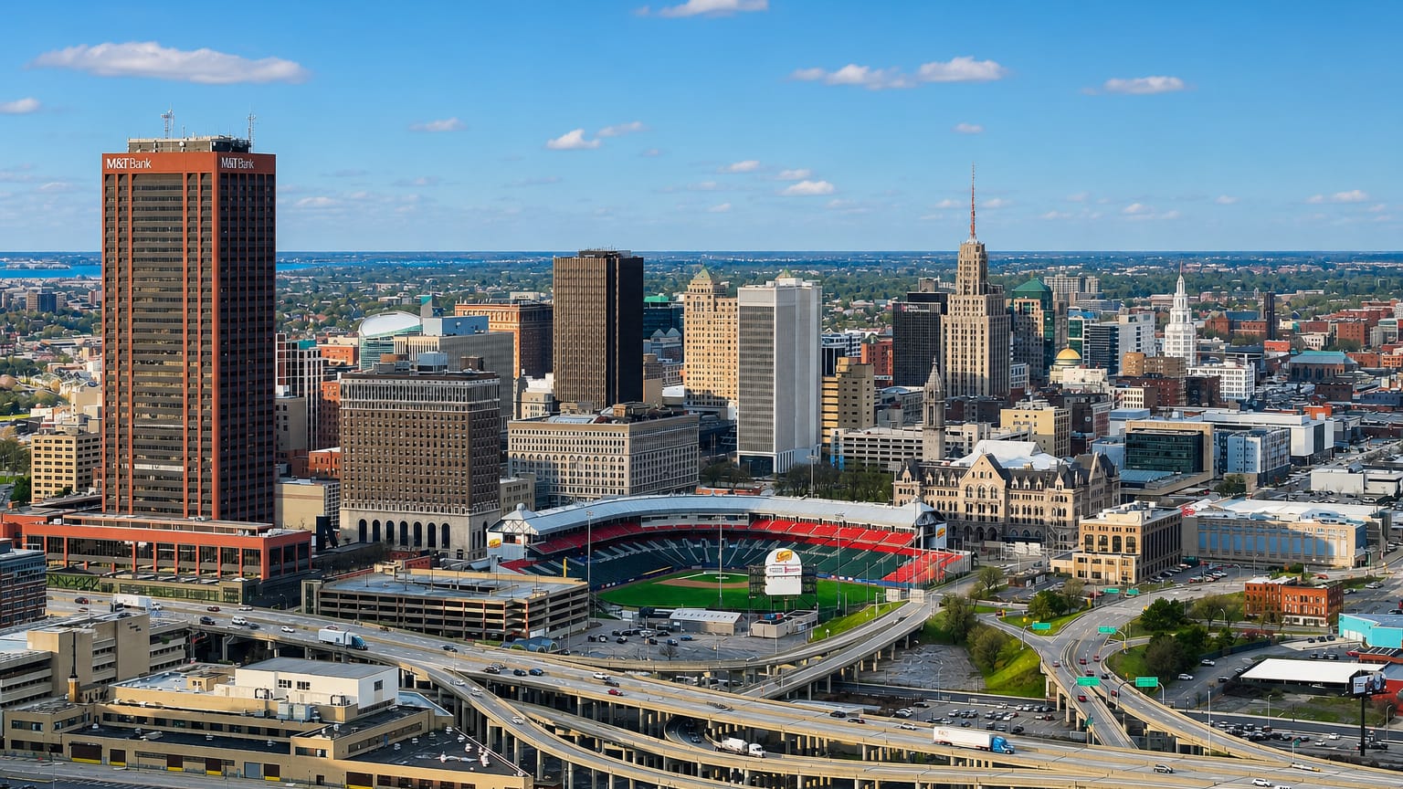
Aerial view of downtown Buffalo, New York, with the M&T Center tower, ballpark and highway interchange under a blue sky.

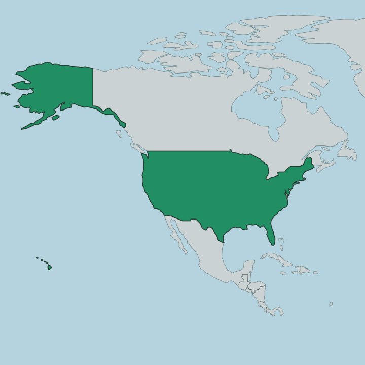
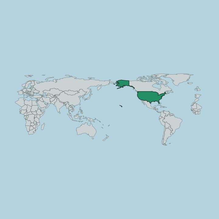
United States · New York

Where to Stay in Buffalo, New York

Warships lie moored at the Naval & Military Park on the Buffalo River, in Buffalo, a harbour city of New York in the northeastern United States.

Find your area →
Where to stay in Buffalo

Where you base yourself shapes the visit — here's the character of each area.

Aerial view of downtown Buffalo, New York, with the M&T Center tower, ballpark and highway interchange under a blue sky.BuffaloUnited States

East Side

East Side is one of Buffalo's largest neighbourhoods, the ground beyond Main Street where church towers stand over vacant lots.Where to stay →
Aerial view of downtown Buffalo, New York, with the M&T Center tower, ballpark and highway interchange under a blue sky.BuffaloUnited States

Allentown

Allentown is a neighbourhood of Buffalo, a low-rise quarter of old houses and church spires ranged along Delaware Avenue.Where to stay →
Aerial view of downtown Buffalo, New York, with the M&T Center tower, ballpark and highway interchange under a blue sky.BuffaloUnited States

Canalside

Canalside is the Buffalo district rebuilt where the Erie Canal ended, at the foot of Main Street on the Buffalo River.Where to stay →
Aerial view of downtown Buffalo, New York, with the M&T Center tower, ballpark and highway interchange under a blue sky.BuffaloUnited States

Black Rock

The Erie Canal took the black limestone ledge that named Black Rock, a Buffalo neighbourhood of canal-era brick and workers' cottages on the Niagara River.Where to stay →
Aerial view of downtown Buffalo, New York, with the M&T Center tower, ballpark and highway interchange under a blue sky.BuffaloUnited States

Elmwood Village

Elmwood Village runs along Elmwood Avenue in Buffalo, between Allentown to the south and Delaware Park to the north.Where to stay →
Aerial view of downtown Buffalo, New York, with the M&T Center tower, ballpark and highway interchange under a blue sky.BuffaloUnited States

Delaware Avenue Historic District

Delaware Avenue Historic District runs up the west side of Delaware Avenue in Buffalo, the stretch once known as Millionaires' Mile.Where to stay →
Aerial view of downtown Buffalo, New York, with the M&T Center tower, ballpark and highway interchange under a blue sky.BuffaloUnited States

Larkinville

Brick factory walls line Seneca Street through Larkinville, a Buffalo quarter also called the Hydraulics and rebuilt around Larkin Square.Where to stay →
Aerial view of downtown Buffalo, New York, with the M&T Center tower, ballpark and highway interchange under a blue sky.BuffaloUnited States

North Buffalo

North Buffalo is a group of Buffalo neighborhoods above Delaware Park, where Hertel Avenue runs through a Little Italy of bakeries and storefronts.Where to stay →
Aerial view of downtown Buffalo, New York, with the M&T Center tower, ballpark and highway interchange under a blue sky.BuffaloUnited States

Fruit Belt

The Fruit Belt takes its name from streets called Cherry, Peach and Grape, on Buffalo's east side beside the medical campus.Where to stay →
All neighbourhoods (24)
Aerial view of downtown Buffalo, New York, with the M&T Center tower, ballpark and highway interchange under a blue sky.BuffaloUnited States

South Buffalo

Brick storefronts line Seneca Street in South Buffalo, an Irish-rooted third of the city where two Olmsted parks meet the old steel waterfront.Where to stay →
Aerial view of downtown Buffalo, New York, with the M&T Center tower, ballpark and highway interchange under a blue sky.BuffaloUnited States

Riverside

Tonawanda Street crosses Ontario Street at the center of Riverside, a Buffalo neighborhood of two-family houses ending at the Niagara River bluff.Where to stay →
Aerial view of downtown Buffalo, New York, with the M&T Center tower, ballpark and highway interchange under a blue sky.BuffaloUnited States

East Lovejoy

Freight tracks ring East Lovejoy on every side, the far eastern district of Buffalo known as Iron Island, German and Italian by origin.Where to stay →
Aerial view of downtown Buffalo, New York, with the M&T Center tower, ballpark and highway interchange under a blue sky.BuffaloUnited States

Broadway-Fillmore

Brick spires rise over Broadway-Fillmore, the East Side district of Buffalo that grew as Polonia around the Broadway Market and Central Terminal.Where to stay →
Aerial view of downtown Buffalo, New York, with the M&T Center tower, ballpark and highway interchange under a blue sky.BuffaloUnited States

Upper West Side

Grant Street shopfronts and Olmsted circles mark the Upper West Side, a Buffalo neighbourhood between Richmond Avenue and the Niagara River.Where to stay →
Aerial view of downtown Buffalo, New York, with the M&T Center tower, ballpark and highway interchange under a blue sky.BuffaloUnited States

Kensington

Shops line the crossing of Kensington Avenue and Bailey Avenue, the two commercial streets of Kensington, a neighbourhood in northeastern Buffalo.Where to stay →
Aerial view of downtown Buffalo, New York, with the M&T Center tower, ballpark and highway interchange under a blue sky.BuffaloUnited States

Lower West Side

The Lower West Side runs from Porter Avenue down to Niagara Square in Buffalo, along the Niagara River.Where to stay →
Aerial view of downtown Buffalo, New York, with the M&T Center tower, ballpark and highway interchange under a blue sky.BuffaloUnited States

University Heights

Hayes Hall's bell tower rises over Main Street in University Heights, a Buffalo district built beside the University at Buffalo South Campus.Where to stay →
Aerial view of downtown Buffalo, New York, with the M&T Center tower, ballpark and highway interchange under a blue sky.BuffaloUnited States

Hamlin Park Historic District

Open porches repeat down almost every block of Hamlin Park Historic District, a residential quarter of Buffalo named for Cicero J. Hamlin's Driving Park.Where to stay →
Aerial view of downtown Buffalo, New York, with the M&T Center tower, ballpark and highway interchange under a blue sky.BuffaloUnited States

Buffalo Theater District

The Buffalo Theatre District is the theatre quarter of downtown Buffalo, four streets holding Shea's Performing Arts Center and five other houses.Where to stay →
Aerial view of downtown Buffalo, New York, with the M&T Center tower, ballpark and highway interchange under a blue sky.BuffaloUnited States

Schiller Park

Schiller Park takes its name from a city park honouring the poet Friedrich Schiller, a neighbourhood on Buffalo's far eastern rim beside Cheektowaga.Where to stay →
Aerial view of downtown Buffalo, New York, with the M&T Center tower, ballpark and highway interchange under a blue sky.BuffaloUnited States

Cold Springs

Cold Springs is a small neighbourhood on Buffalo's East Side, boxed in by Main Street and Jefferson Avenue.Where to stay →
Aerial view of downtown Buffalo, New York, with the M&T Center tower, ballpark and highway interchange under a blue sky.BuffaloUnited States

North Park

North Park sits east of Delaware Avenue in North Buffalo, where Hertel Avenue runs past the 1920 North Park Theatre and a strip of Italian bakeries.Where to stay →
Aerial view of downtown Buffalo, New York, with the M&T Center tower, ballpark and highway interchange under a blue sky.BuffaloUnited States

Central Park

Central Park is a residential district of Buffalo west of Main Street, on avenues that cement magnate Lewis Jackson Bennett planted with trees himself.Where to stay →
Aerial view of downtown Buffalo, New York, with the M&T Center tower, ballpark and highway interchange under a blue sky.BuffaloUnited States

Fargo Estate Historic District

Queen Anne porches step down the south slope of Prospect Hill in the Fargo Estate Historic District, a residential quarter on Buffalo's Lower West Side.Where to stay →

About Buffalo

What is Buffalo known for?

Buffalo is known as a harbour city of New York and a former industrial power on the Buffalo River. The Buffalo and Erie County Naval & Military Park moors historic warships at the waterfront, among them the USS Croaker and the USS The Sullivans. Inland, the Theodore Roosevelt Inaugural National Historic Site marks a turning point in the nation's history.

The water shaped it.

What are the main landmarks in Buffalo?

Buffalo's landmarks gather along its harbour and its old avenues. The Buffalo and Erie County Naval & Military Park moors the USS Croaker and the USS The Sullivans at the Buffalo River, while Buffalo RiverWorks and the LECOM Harborcenter line the waterfront nearby. Inland stand the Theodore Roosevelt Inaugural National Historic Site and the Buffalo Museum of Science, with Riverside Park beyond.

History and water meet here.

What is the history of Buffalo?

Buffalo took its city charter in 1832 and grew as a harbour and industrial centre of New York. Trade moved through the port on the Buffalo River, and the waterfront turned the young settlement into one of the great shipping and manufacturing cities of the region. Water made the city.

As industry gathered along the river, the population climbed and the grand avenues rose inland, lined with the churches and mansions that still mark the older streets of the city. Through the following century Buffalo held a place in the nation's history as well as its trade. The Theodore Roosevelt Inaugural National Historic Site preserves the house where Theodore Roosevelt took the oath of office after an assassination.

Its heritage runs deep. The Buffalo and Erie County Naval & Military Park keeps warships like the USS Croaker at the harbour, and the Buffalo Museum of Science records the city's growth in Erie County. Industry has since receded.

From its charter of 1832 to the harbour city it became, Buffalo grew on the trade that moved along the Buffalo River. The waterfront still defines it.

Where is Buffalo?

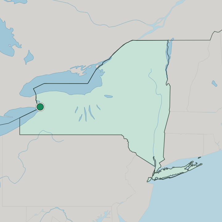
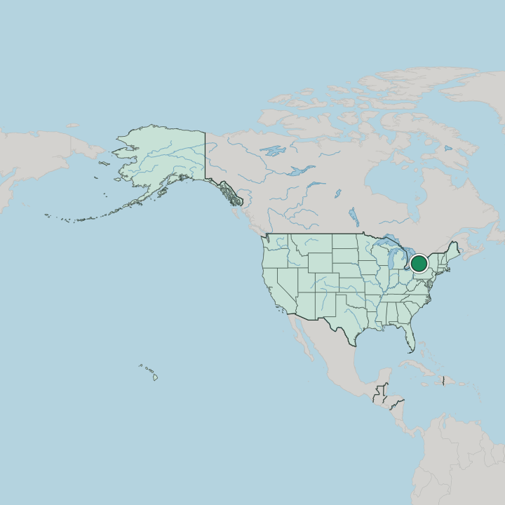
Buffalo lies in New York, in the northeastern United States, where the Buffalo River meets the harbour. The city grew along the water at the edge of Erie County. Its centre rises inland from the waterfront onto flatter ground.

The harbour anchors it. From the low quays where the Naval & Military Park moors its ships, Buffalo spreads out through the avenues and the neighbourhoods around Riverside Park.

What is the climate of Buffalo?

Buffalo has a humid continental climate famous for its heavy winter snow. Cold air moving over open water dumps deep lake-effect snow on the city, and the winters run long and hard along the harbour. Summers are warm and pleasant.

The warm months bring mild, comfortable days over the Buffalo River and the waterfront before the cold and the snow return to New York in the late months of the year.

How do you get to Buffalo?

Buffalo is reached by air, road, and rail in the northeast of New York. Interstate highways meet at the city, an airport serves the wider region, and rail lines run through the old industrial corridors along the Buffalo River. The harbour still draws traffic.

Long a hub of shipping and trade in Erie County, Buffalo gathers routes from every direction into the waterfront city.

Good for

More cities in New York

Updated September 2026