United States
Wyoming, United States — Towns & Travel Guide


Wyoming is the least populous American state, a high, dry country of Rocky Mountains and open plains in the Mountain West.
Find your area →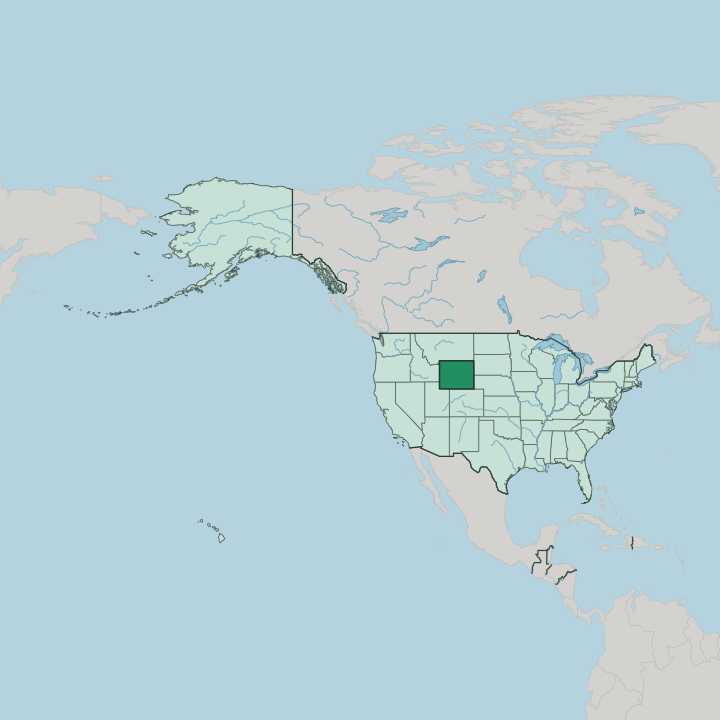
Towns & cities in Wyoming
Pick a town or city — each links to where to stay.
 United States
Cheyenne
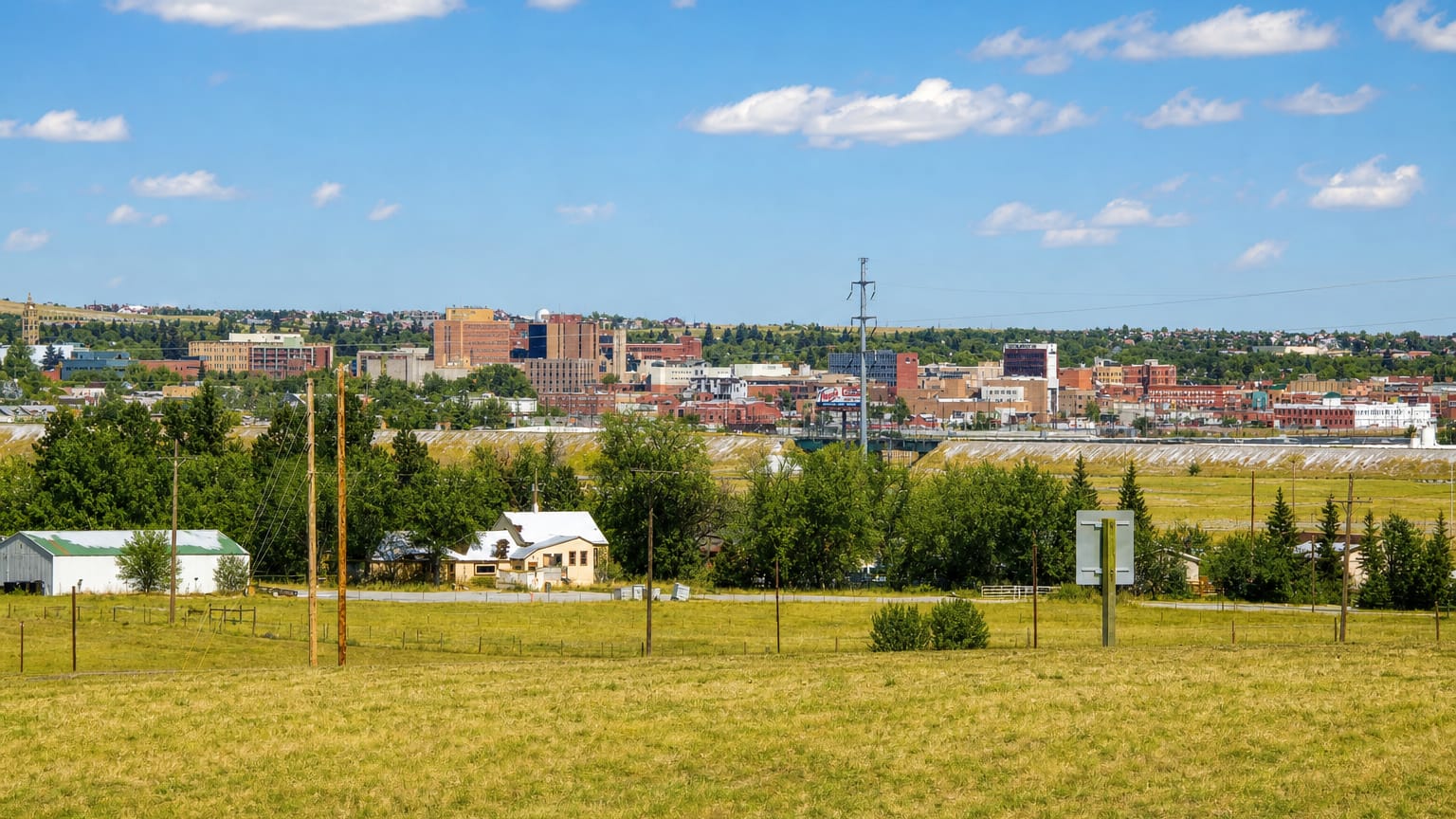
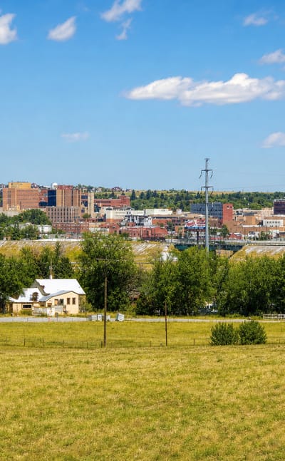
Frontier brick and railroad iron mark Cheyenne, a plains city in Wyoming, known for Cheyenne Frontier Days and the Cheyenne Depot Museum.Where to stay →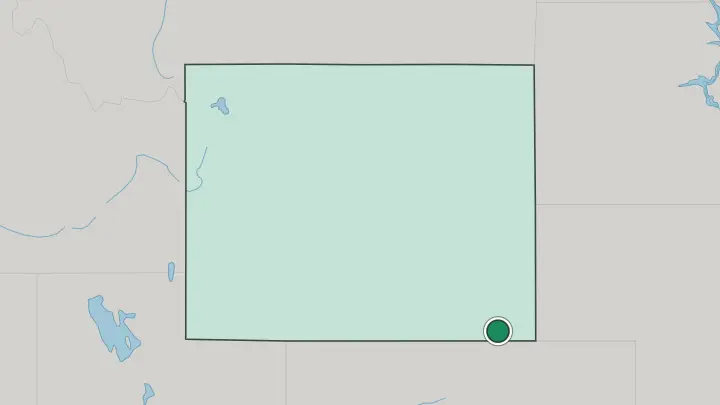
About Wyoming
What is Wyoming known for?
Two national parks carry Wyoming's fame. Yellowstone National Park spreads across the state's northwest corner, the first national park anywhere, its basins still venting steam through geysers like Old Faithful. Just south, the sawtooth wall of the Teton Range rises straight off the valley floor in Grand Teton National Park.
The rest is cattle country and rodeo. Cheyenne, the capital in the far southeast, throws Cheyenne Frontier Days each July, a ten-day rodeo running since 1897 that the state treats as a birthright.
Where is Wyoming?
Wyoming is a landlocked rectangle in the Mountain West, drawn along straight survey lines rather than any river or ridge. Montana sits to the north, Idaho to the west, Utah and Colorado to the south, and South Dakota and Nebraska to the east. The land splits in two. Its western half belongs to the Rocky Mountains, range after range of them: the Teton Range, the Wind River Range, the Absaroka, and the Bighorn Mountains.
Its eastern half is the High Plains, dry grassland tilting down toward Nebraska and South Dakota. Gannett Peak, the state's highest summit, stands in the Wind River Range. The Continental Divide runs north to south through the state's middle.
It decides where the water goes. West of the line the Snake River and the Green River both run toward the Pacific, one dropping through the Columbia and the other through the Colorado River. East of it the North Platte, the Bighorn, and the Yellowstone River all feed the Missouri River, and eventually the Gulf of Mexico.
In one high-desert stretch the divide splits around the Great Divide Basin, a closed bowl whose water reaches no ocean at all. Distances are long here. Towns can lie an hour apart, with nothing between but sagebrush, antelope, and fence line.
What is Wyoming like?
Wyoming leans hard on the cowboy. The image is not invented: cattle drives pushed north from Texas in the late nineteenth century, open-range grazing took hold, and ranching still shapes the calendar and the economy across the plains. A bucking bronco and rider stamp the state's license plates.
Rodeo is the public face of it, and Cheyenne Frontier Days has run every July since 1897, ten days of bronc riding, roping, parades, and dust that locals call the Daddy of 'em All. The temper of the place is spare and independent, matching a state with more antelope than people. Long before the cattle, the land belonged to Plains tribes.
The Eastern Shoshone and Northern Arapaho share the Wind River Indian Reservation in the state's center, where the Eastern Shoshone Indian Days powwow draws dancers and drum teams to Fort Washakie each summer. The Old West sits close to the surface elsewhere too. Buffalo Bill Cody founded the town that carries his name near Yellowstone's eastern gate.
Off in the northeast corner, Devils Tower breaks from the plains as a stump of columnar rock, sacred to many of those same tribes and named the country's first national monument in 1906. History here is short but loud.
What is the history of Wyoming?
Congress carved out the Wyoming Territory in 1868, just as the Union Pacific pushed its transcontinental line across the southern plains and threw up rail towns like Cheyenne and Laramie. Then it made history. In 1869 the territory granted women the vote and the right to hold office, the first government anywhere to do so, which is why Wyoming still calls itself the Equality State.
It refused to repeal that law when Congress pressed it, and entered the Union as the 44th state on July 10, 1890.
What is the climate of Wyoming?
Wyoming is dry and windy, semi-arid on the plains and alpine in the high country. Wind is the constant, funnelling hardest through the southern gap that the Union Pacific and Interstate 80 follow across the state. Wyoming's winters come in with real teeth.
The plains take deep cold, while the Teton Range and the Wind River Range hold snow well into summer and feed the rivers below. Chinook winds can strip a snowpack in a day. Summers stay warm but short.
How do you get to Wyoming?
Most flights into Wyoming connect through Denver or Salt Lake City, since the state's own airports are small. Jackson Hole Airport is the odd one out, the only commercial field inside a national park, dropping visitors below the Teton Range for Grand Teton and Yellowstone. Casper sits central and handles the most traffic on the plains.
Many people simply drive. Interstate 80 crosses the south past Cheyenne and Laramie, Interstate 25 runs north from Cheyenne to Casper, and Interstate 90 clips the northeast by Sheridan and Gillette. Long empty miles run between exits.
Common questions
What is the best area to stay in Wyoming?
Cheyenne: rodeo and the run north from Denver.
Good for
Updated July 2026