France
Normandie, France — Towns & Travel Guide


Normandie is a region of northern France on the English Channel, land of chalk cliffs, apple orchards and the 1944 landing beaches.
Find your area →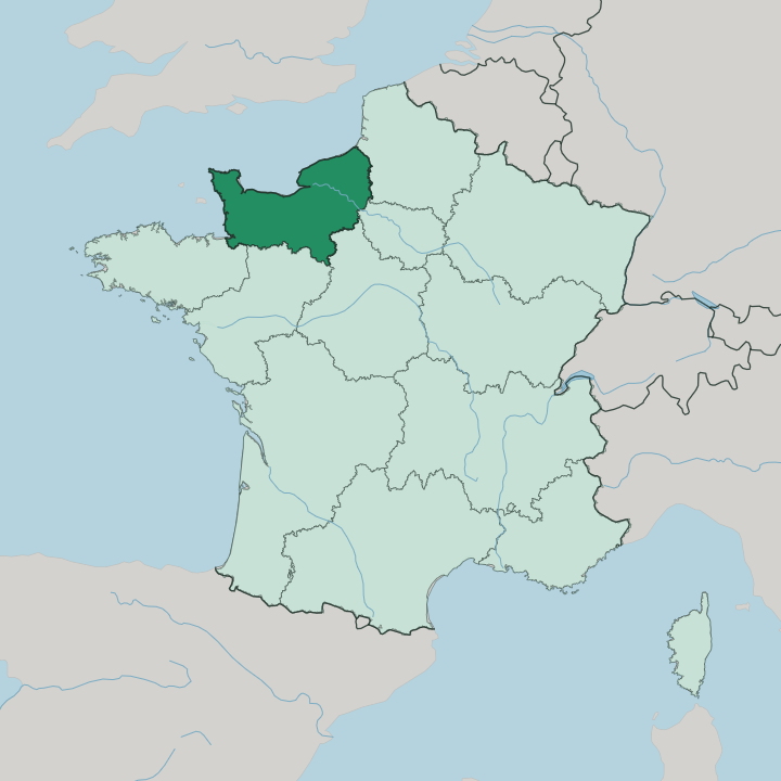
Towns & cities in Normandie
Pick a town or city — each links to where to stay.
 France
Le Havre
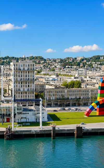
The Seine meets the English Channel at Le Havre, a port city in Normandy founded in 1517, known for the concrete tower of St. Joseph's Church.Where to stay →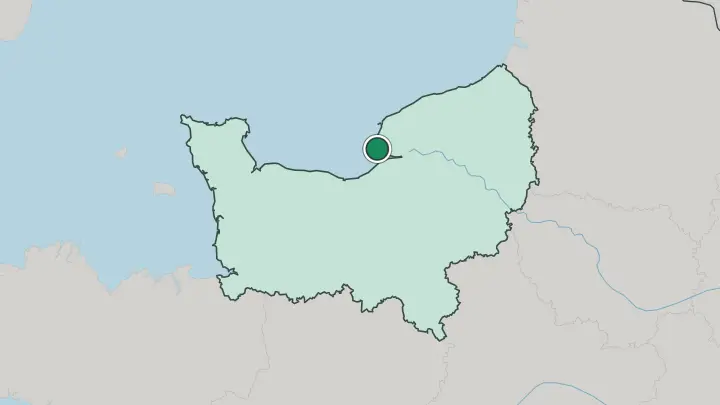
 France
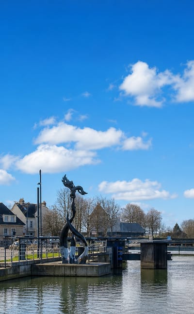
Rouen
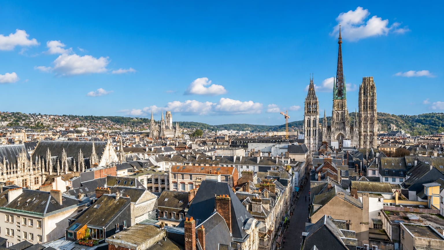
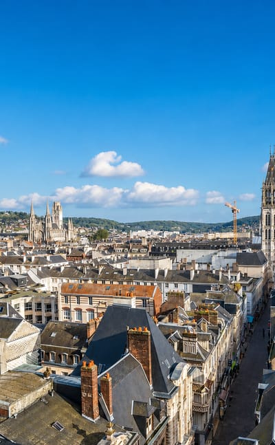
Timbered gables lean over the lanes of Rouen, a city on the River Seine in Normandie, northwestern France, known for the Gros Horloge and Joan of Arc.Where to stay →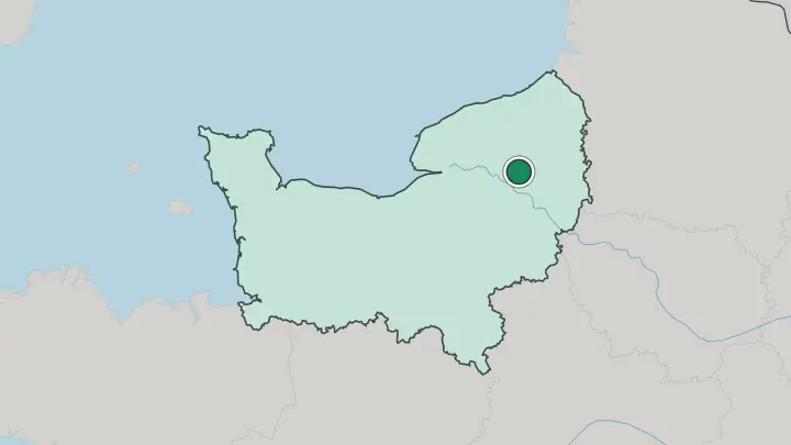
 France
Caen
Pale limestone walls rise at Caen, a city in Normandie and the prefecture of Calvados, known for the Castle of Caen and its two great Romanesque abbeys.Where to stay →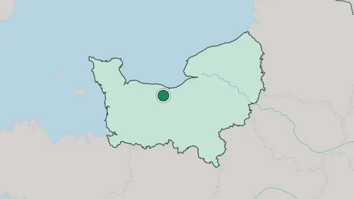
About Normandie
What is Normandie known for?
Two invasions carry Normandie's name. The first is 1066, when Duke William sailed from here to conquer England, a story stitched along the length of the Bayeux Tapestry. The second came in June 1944, when Allied armies came ashore on the beaches west of Caen to begin the liberation of Europe.
Between them sits a gentler fame: Camembert, cider and Calvados from the orchards inland, the white cliffs of Étretat that Claude Monet painted again and again, and the abbey rising on the tidal islet of Le Mont Saint-Michel. Rouen anchors it on the Seine.
Where is Normandie?
Normandie occupies the coast of northern France where it faces the English Channel, directly across the water from southern England. The English Channel forms its whole northern and western edge. To the east it borders the Paris region and the Hauts-de-France; to the south lie the Centre-Val de Loire, the Pays de la Loire and, at its far south-western tip, the border with Brittany.
The Seine cuts across the region from the east and empties into the Channel at Le Havre, dividing the land it drains into two banks. The coast changes character as you follow it. In the east the Pays de Caux is a chalk plateau that ends in the vertical white wall of the Côte d'Albâtre, the Alabaster Coast, most famous at the arches of Étretat.
West of the Seine the shore softens into the beaches of Calvados and then juts out into the blunt Cotentin Peninsula, which reaches toward the island of Great Britain. Inland the country is bocage: small fields, apple orchards and dairy pasture divided by high hedges and sunken lanes. The western hills belong to the ancient rock of the Armorican Massif, while most of Normandie sits in the softer limestone of the Paris Basin.
Rivers do the shaping. The land is green because it rains, and the pasture that feeds the cows is the same pasture that makes the cheese.
What is Normandie like?
Normandie eats and drinks from its own fields. The orchards of the Pays d'Auge give it cider and the apple brandy called Calvados; the dairy pastures give it thick cream and soft cheeses, Camembert first among them, named for a village in the Orne. A local menu leans on butter and cream, on apples, and on the shellfish of the Channel.
This is farm country before it is anything else. The other current is the light. The soft grey coastal light drew the Impressionists here, and the movement takes half its imagery from this shore.
Claude Monet painted the cliffs at Étretat, the front of Rouen's cathedral in every hour of the day, and finally his own water-lily garden at Giverny in the Seine valley. Honfleur's harbour trained an earlier generation of painters before him. Language here is French, as across the rest of the country, though the old Norman speech survives in place-names of clear Scandinavian root.
The Vikings who settled here a thousand years ago left more than a duchy. They left the very name of the land, and a coast that has looked toward England ever since.
What is the history of Normandie?
The name comes from the Northmen. In 911 the Frankish king granted the lower Seine to the Viking leader Rollo, and out of that bargain grew the Duchy of Normandy. Its dukes soon reached further than France: in 1066 William the Conqueror crossed the Channel and took the English throne, binding Normandie and England together for centuries.
The duchy passed to the French crown in 1204. The last chapter is the darkest, the summer of 1944, when the Normandy landings turned this coast into the front line of Europe's liberation.
What is the climate of Normandie?
Normandie has a mild oceanic climate, cool and damp, ruled by the English Channel on its doorstep. Winters stay soft and frost-shy, summers turn warm but rarely hot, and rain can arrive in any month. The weather shifts fast.
Westerly winds off the Channel bring showers and clear spells in quick succession, and the western hills catch far more rain than the drier plateau in the east around Rouen. All that water is why the pasture is so green.
How do you get to Normandie?
Most travellers reach Normandie through Paris. Frequent trains run from the capital down the Seine valley to Rouen, Le Havre and Caen in a couple of hours, and a car opens up the beaches and orchards the trains skip. From England the sea route is direct: car ferries cross the Channel to Le Havre, Caen and Cherbourg.
That crossing has carried armies both ways for a thousand years. Inside the region, roads matter more than rails once you leave the main cities.
Common questions
What is the best area to stay in Normandie?
Rouen: a first stay in Normandie. Caen: touring the Normandy landing beaches.
Good for
Updated July 2026