
Japan
Kumamoto, Japan — Towns & Travel Guide


A prefecture of central Kyushu, Japan, shaped by the Mount Aso caldera and the old castle city of Kumamoto.
Find your area →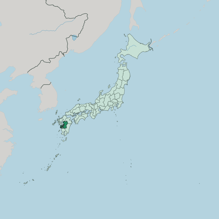


Towns & cities in Kumamoto
Pick a town or city — each links to where to stay.
 Japan
Japan
Kumamoto
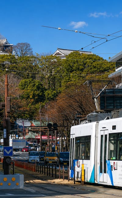
Castle walls rise over Kumamoto, the capital of Kumamoto Prefecture on the island of Kyushu, known for Kumamoto Castle and its art museums.Where to stay →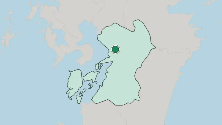
About Kumamoto
What is Kumamoto known for?
The prefecture's signature is fire and water. Mount Aso rises in the east, its caldera among the largest anywhere on Earth, a grassland bowl grazed by cattle around the five central cones of Aso. Kumamoto Castle anchors the plain below, a black-walled fortress raised by Katō Kiyomasa.
Off the west coast, the Amakusa islands scatter across the Yatsushiro Sea. In the south the Kuma River tears through the Hitoyoshi Basin, among the swiftest rivers in Japan. Volcano, castle, islands, river.
Where is Kumamoto?
Kumamoto sits in the middle of Kyushu, the southernmost of Japan's four main islands. It faces two seas on the west. The shallow Ariake Sea and the more enclosed Yatsushiro Sea wash a coast broken by tidal flats, river mouths, and the scattered Amakusa islands, which a string of bridges ties back to the mainland.
Inland, the land climbs. Fukuoka and Ōita prefectures lie to the north, Miyazaki to the east, and Kagoshima to the south, so Kumamoto touches nearly every corner of the island. Fire built the interior. Mount Aso dominates the north-east, its caldera one of the widest on Earth, a grassland bowl still breathing steam from the active cones at its centre.
West of the volcano the ground flattens into the Kumamoto Plain, drained by the Shira and Midori rivers and carrying most of the prefecture's towns and farmland. The south is mountain country. There the Kuma River gathers in the Hitoyoshi Basin and cuts a fast gorge down to the Yatsushiro Sea, among the swiftest rivers in the country.
Ridges of the Kyushu Mountains close off the eastern edge.
What is Kumamoto like?
For three centuries this was Higo Province, and its old capital still sets the tone. Katō Kiyomasa laid out Kumamoto Castle on a low hill above the plain, giving it curving stone ramparts that sweep up too steeply to climb, a defensive trick the local samurai called musha-gaeshi. The Hosokawa lords who followed ruled for more than two hundred years and left a taste for refinement behind them.
Their Suizenji garden lays out the old Tōkaidō road in miniature, mounding a small green cone to stand in for Mount Fuji beside a spring-fed pond. Handwork is woven through Higo's traditions. Yamaga is known for paper lanterns that dancers balance on their heads at its summer festival.
The table is distinctive too. Higo cooks serve basashi, thin slices of raw horse, and karashi renkon, lotus root packed with mustard and fried, a dish first made for an ailing Hosokawa lord. The local ramen comes darkened with fried garlic oil.
Japanese is the language, spoken in a soft Kumamoto dialect. The prefecture even markets itself through Kumamon, a round-cheeked black bear mascot known across Japan. Old province, new cartoon bear.
What is the history of Kumamoto?
Warlords made this ground. Katō Kiyomasa took Higo after the Battle of Sekigahara in 1600 and finished his great castle in 1607, layering its defences against siege. When his line failed, the Hosokawa clan moved in from Kokura and held the domain for more than two centuries.
The old order ended in blood. During the Satsuma Rebellion of 1877 the castle withstood a fifty-day siege by the rebel army, though fire gutted its keep in the fighting. The keep seen from the plain is a twentieth-century concrete rebuild.
What is the climate of Kumamoto?
Kumamoto runs warm and wet. The lowland plain sits in a humid subtropical belt, its summers hot and sticky, its winters mild and rarely frozen. Rain arrives in force.
The tsuyu of early summer soaks the region, and late-summer typhoons swing up from the Yatsushiro Sea, swelling the Kuma River until it floods the Hitoyoshi Basin. Up on the Aso caldera the air turns cooler and thinner, and frost and snow dust the grassland through winter.
How do you get to Kumamoto?
Most travellers ride the rails in. The Kyushu Shinkansen stops at Kumamoto Station, less than an hour south of Hakata in Fukuoka and a short run north of Kagoshima. Flights land at Kumamoto Airport, out on the plain toward Mount Aso, linking the prefecture with Tokyo and Osaka.
Boats cross too. Ferries thread the Ariake Sea from the Shimabara Peninsula, cutting straight over water that road and rail have to loop around.
Common questions
What is the best area to stay in Kumamoto?
Kumamoto: a first base with the castle and city trains.
Good for
Updated July 2026