Philippines: Regions, Cities & Travel Guide
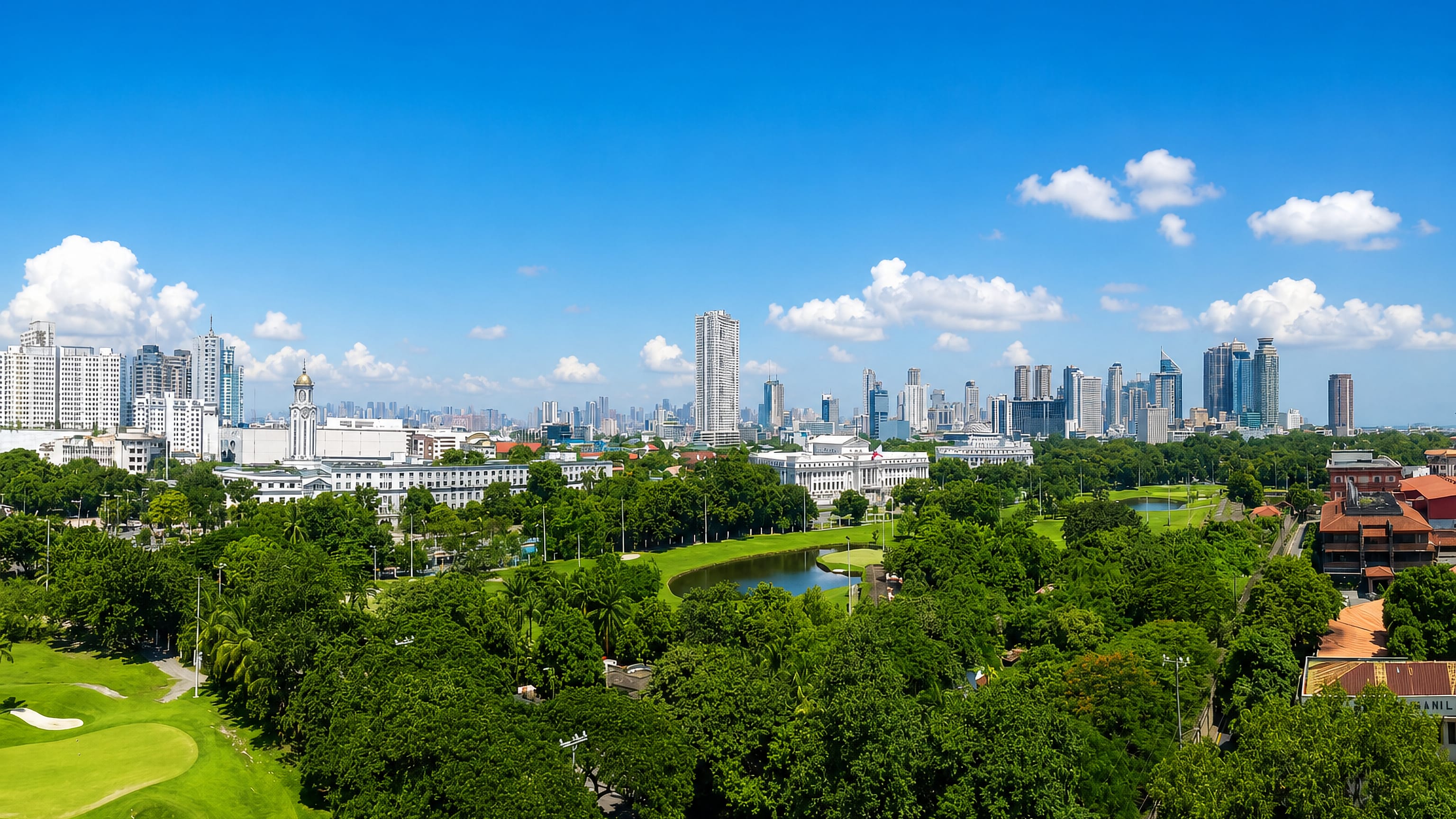
The Philippines is an archipelago of more than 7,600 islands in Southeast Asia, spanning Luzon, the Visayas, and Mindanao, with Manila as its capital.
Hotel links are affiliate links: booking through them may earn us a commission, at no extra cost to you. It never affects how places are ranked. How this works


Top destinations in Philippines
Cities to start from, then drill into areas and hotels.
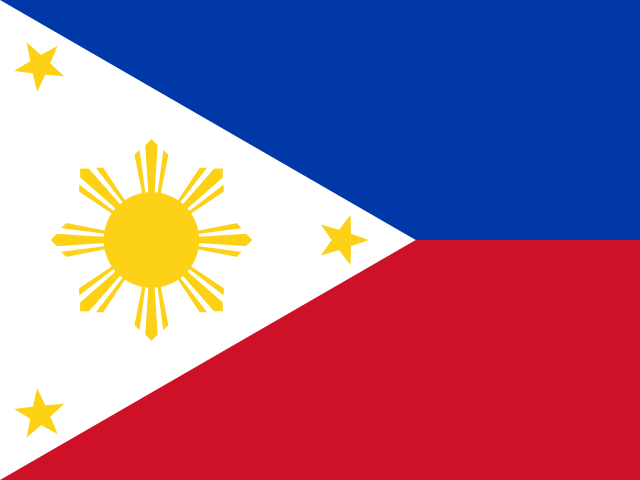 Philippines
Manila
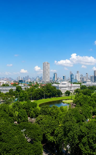
Manila lines the eastern shore of Manila Bay on Luzon, the capital of the Philippines and the walled old city of Intramuros.Where to stay →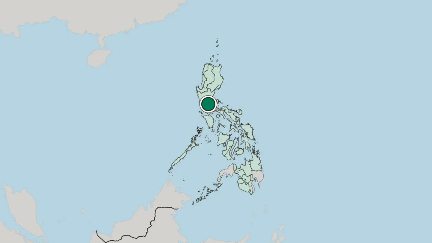
 Philippines
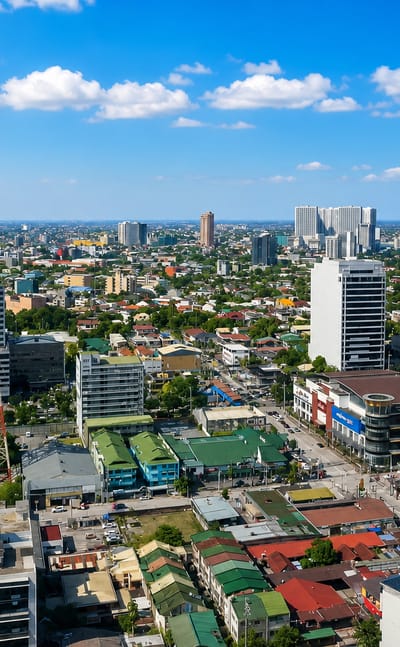
Quezon City
Quezon City rises around the tower of the Quezon Memorial Shrine, the largest city of Metro Manila and once the capital of the Philippines.Where to stay →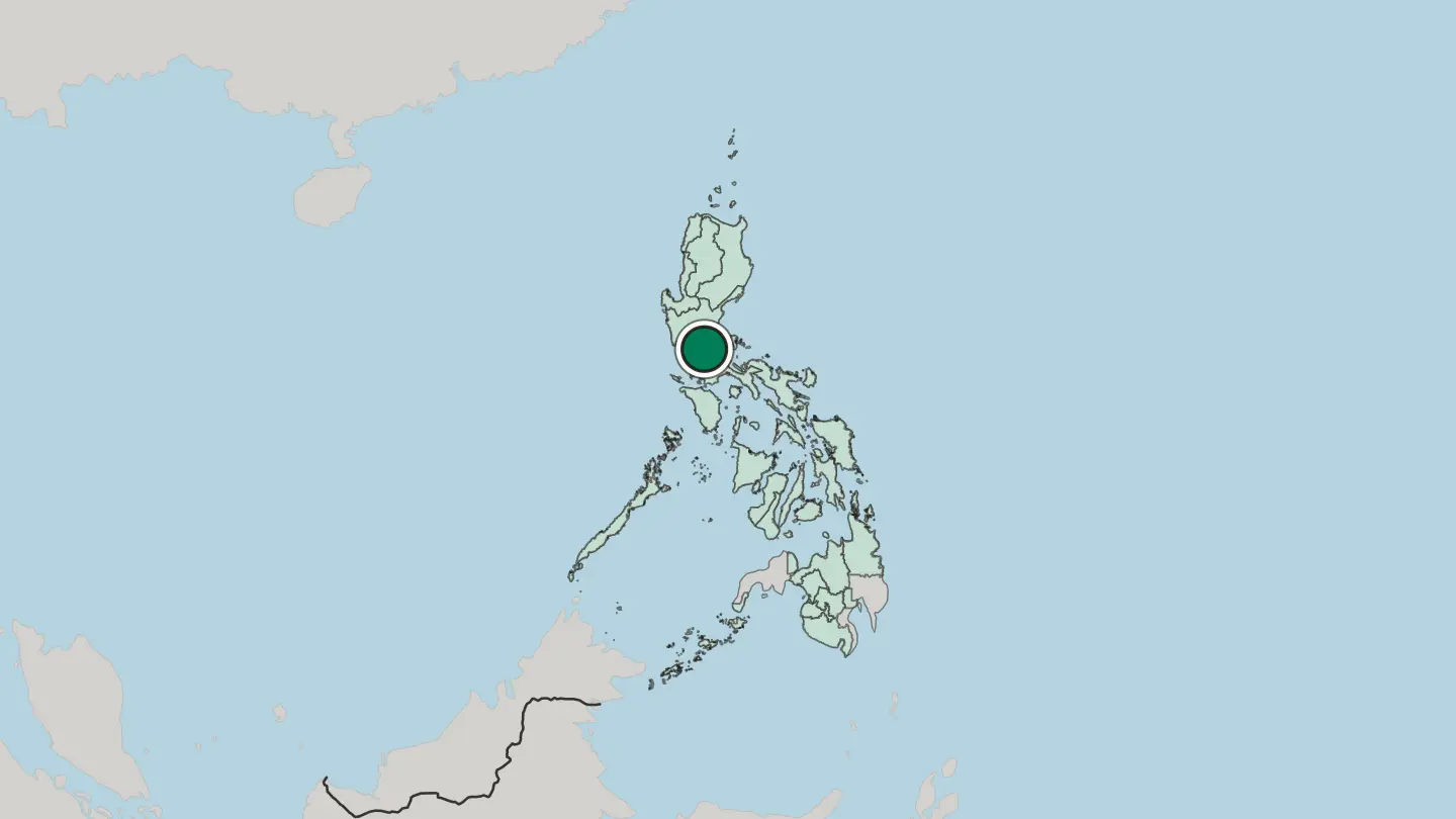 Philippines
Cebu City
Cebu City is the capital of Cebu Province and the main city on Cebu Island, known across the Philippines as the Queen City of the South.Where to stay →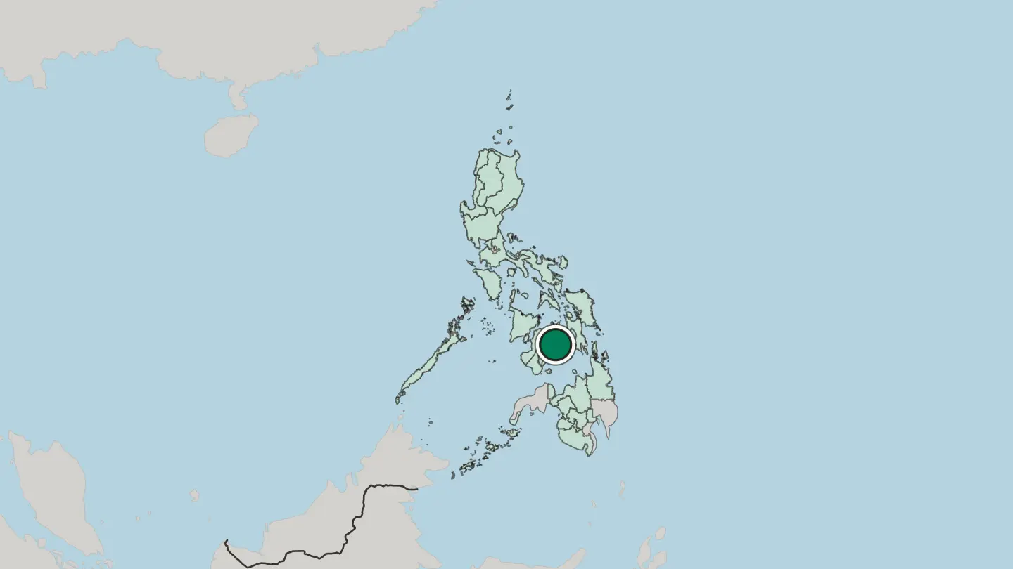
 Philippines
Baguio
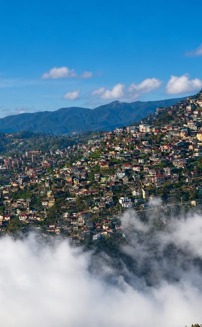
Pine air cools the ridges at Baguio, a highland city of the Cordillera Administrative Region, the Summer Capital of the Philippines and City of Pines.Where to stay →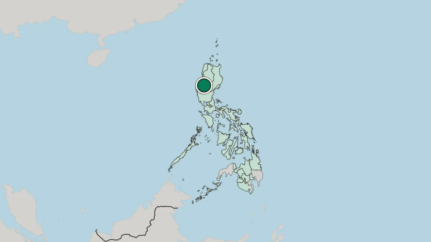
 Philippines
Davao
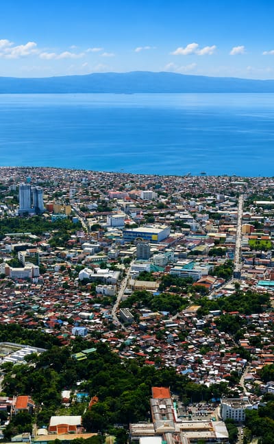
Warm tropical air hangs over Davao, the largest city on Mindanao in the Philippines, a low-rise city spread across a huge land area in the Davao Region.Where to stay →
 Philippines
Makati City
Makati is the leading centre for finance, commerce and diplomacy in the Philippines, and it carries the country's largest skyline.Where to stay →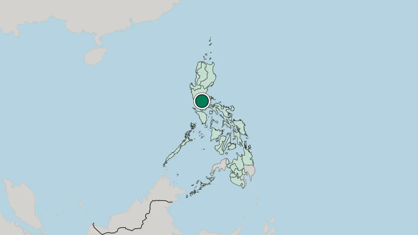 Philippines
Cagayan de Oro
Cagayan de Oro is a city of north Mindanao in the Philippines, a river city of white-water rapids, known nationally as the City of Golden Friendship.Where to stay →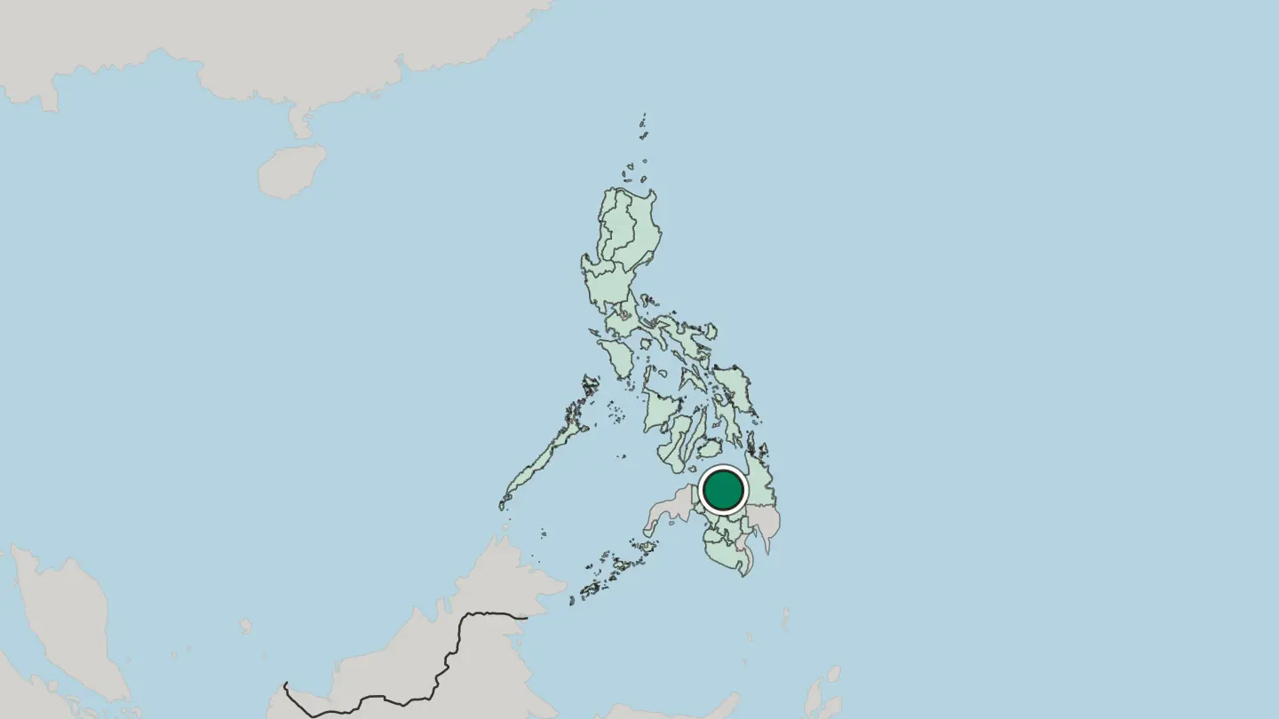 Philippines
Caloocan
Caloocan is a highly urbanized city in northern Metro Manila, part of the National Capital Region of the Philippines.Where to stay →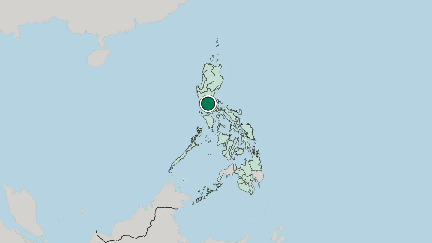
 Philippines
General Santos
General Santos is a city of southern Mindanao in the Philippines, the tuna capital of the country, a busy port on Sarangani Bay below Mount Matutum.Where to stay →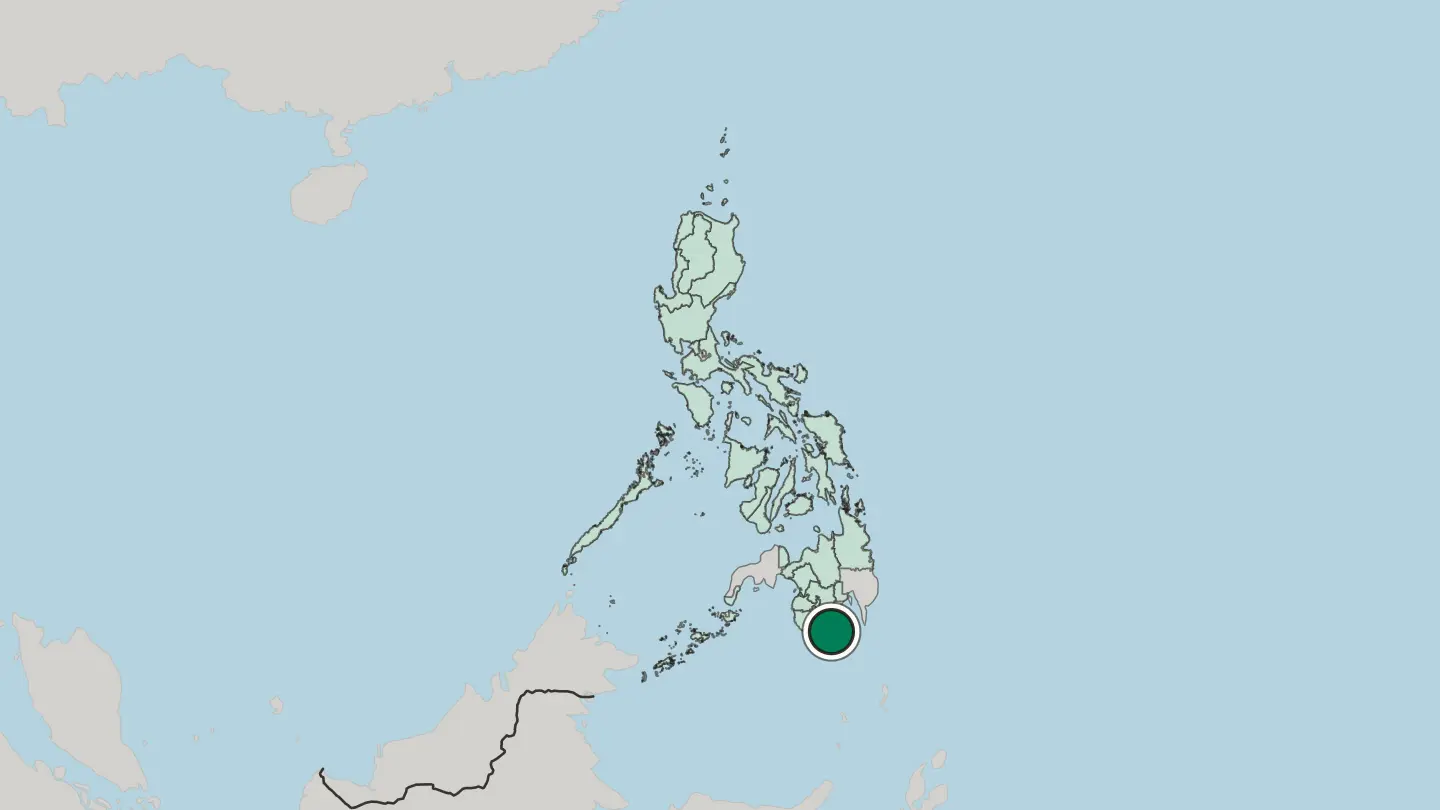
Hotel links are affiliate links: booking through them may earn us a commission, at no extra cost to you. It never affects how places are ranked. How this works
Regions of Philippines
 Philippines
Autonomous Region in Muslim Mindanao
Five provinces once formed one region. The Autonomous Region in Muslim Mindanao grouped Basilan, Lanao del Sur, Maguindanao, Sulu and Tawi-Tawi.Towns & cities →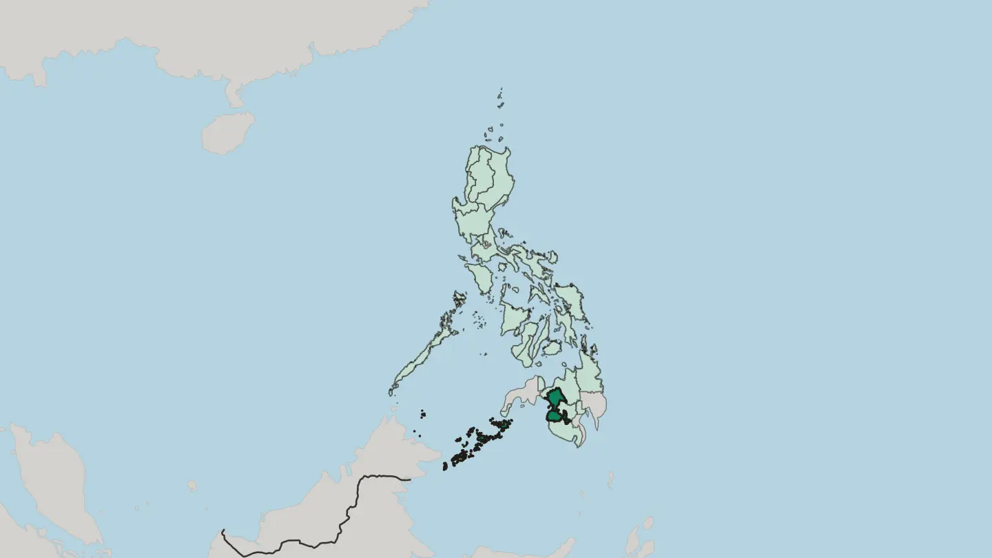
 Philippines
Bicol
Bicol, or Bicolandia, is the peninsula region at the southeastern end of Luzon: four mainland provinces of the Philippines and two across water.Towns & cities →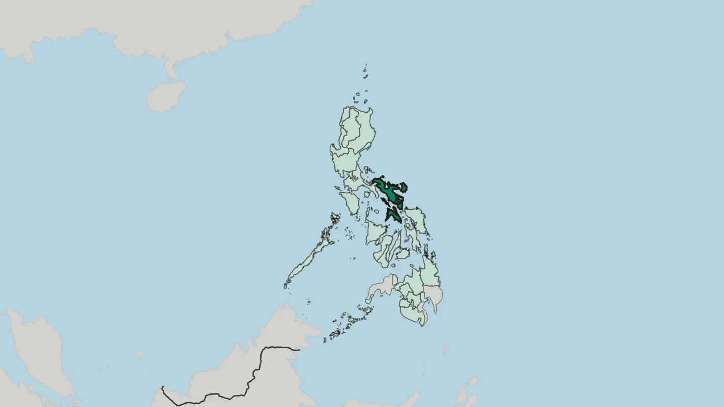
 Philippines
Cagayan Valley
Cagayan Valley, Region II, fills the northeastern section of Luzon: five provinces, four chartered cities, and Batanes far out in the sea.Towns & cities →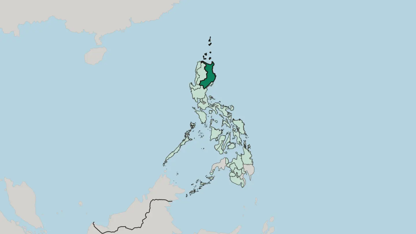
 Philippines
Calabarzon
Calabarzon, Region IV-A, is the band of southwestern Luzon southeast of Metro Manila, edged by Manila Bay, Lamon Bay, and Tayabas Bay.Towns & cities →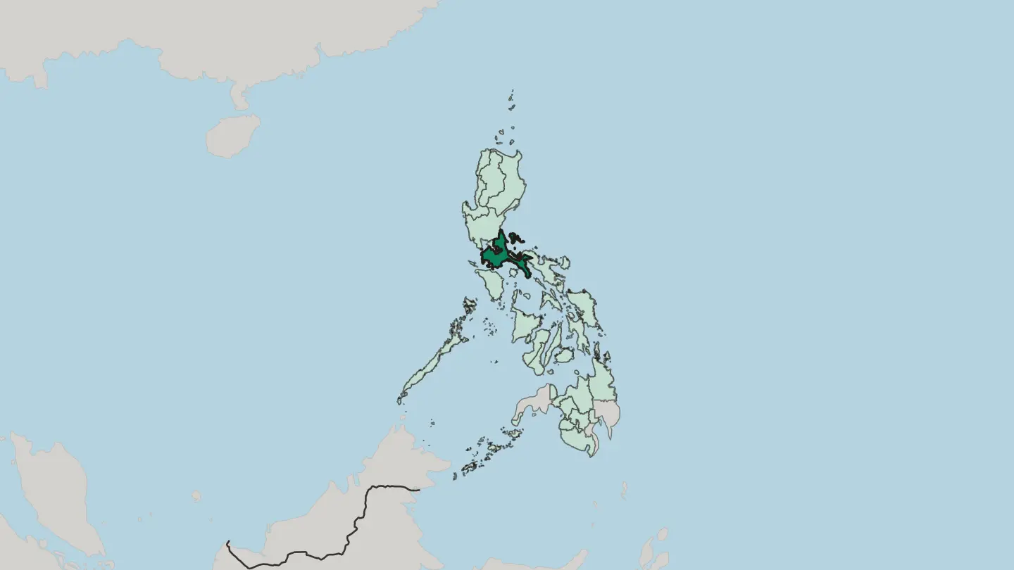
 Philippines
Caraga
Caraga, Region XIII, covers the northeastern section of Mindanao: five provinces, six cities, and the Dinagat Islands out beyond the shore.Towns & cities →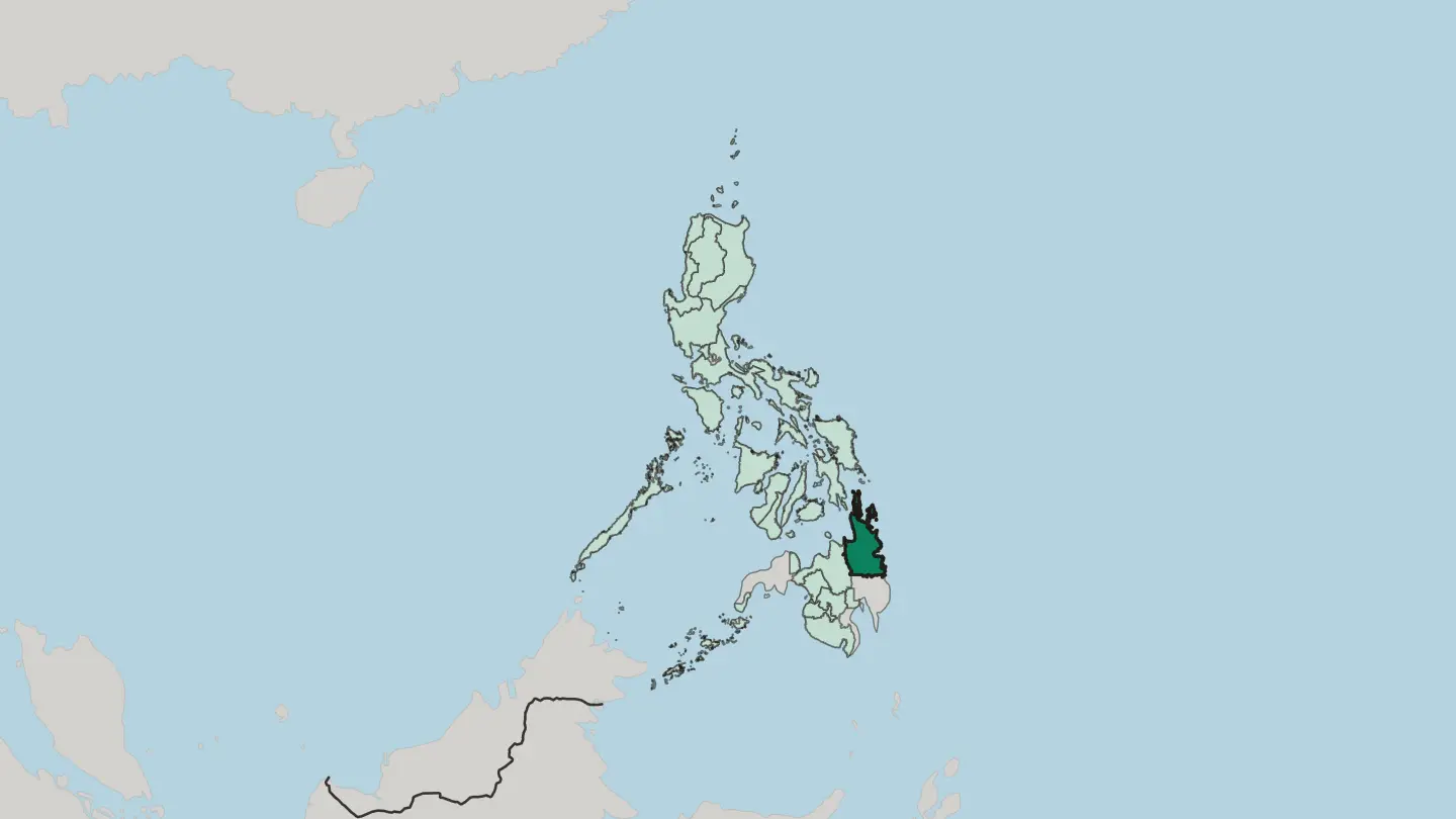
 Philippines
Central Luzon
Central Luzon, Region III, is the rice country of the Philippines: the largest plain in the land, seven provinces, two highly urbanized cities.Towns & cities →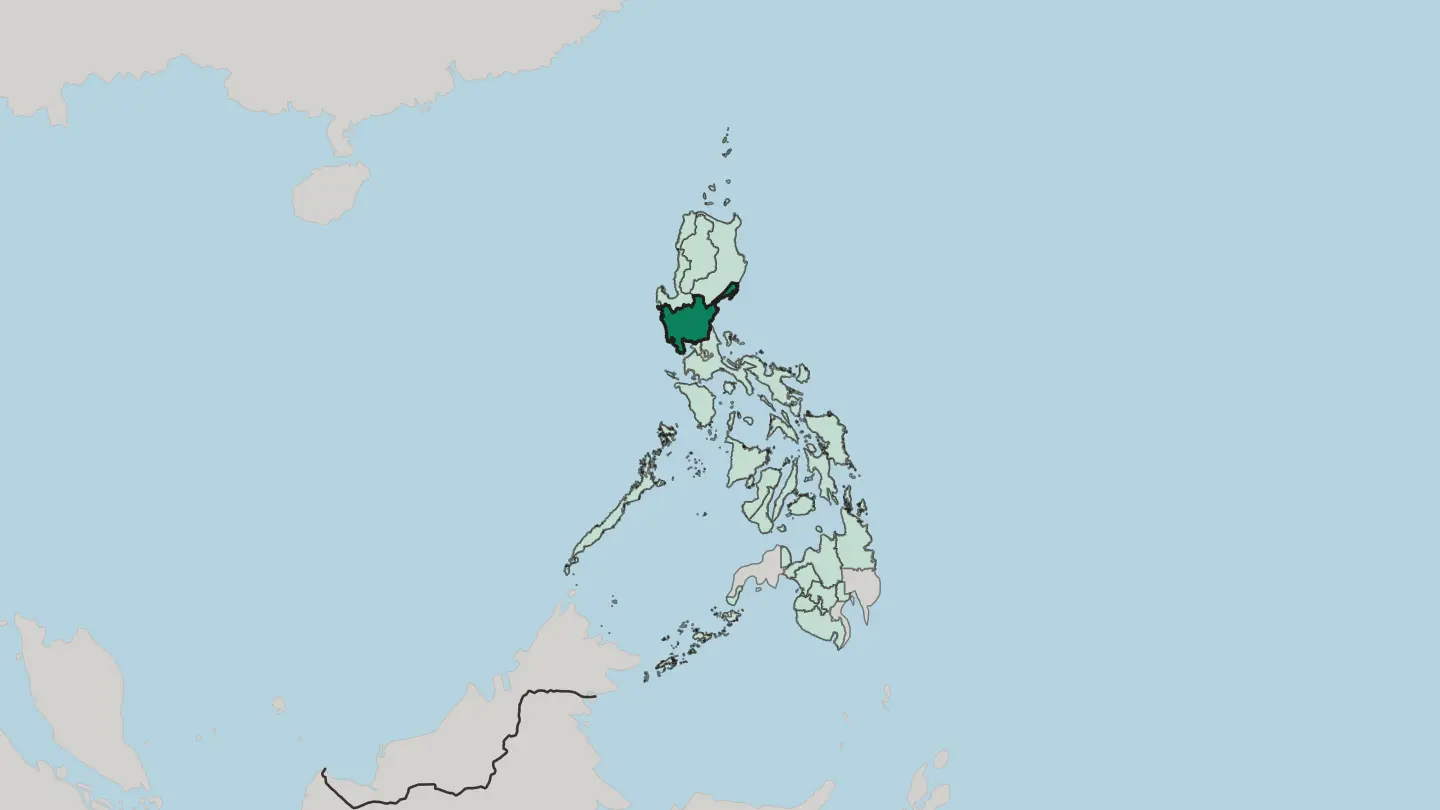
 Philippines
Central Visayas
Central Visayas, Region VII, is the two-province region at the middle of the Philippines: Cebu and Bohol, plus three highly urbanized cities.Towns & cities →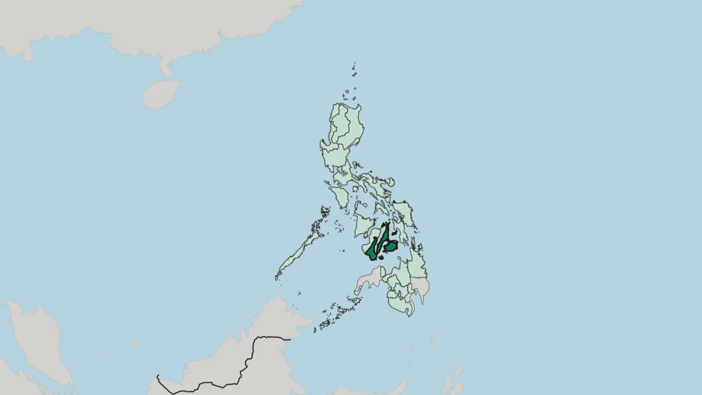 Philippines
Cordillera Administrative Region
The Cordillera Central fills the Cordillera Administrative Region, the only landlocked region on Luzon in the Philippines, around its hub city, Baguio.Towns & cities →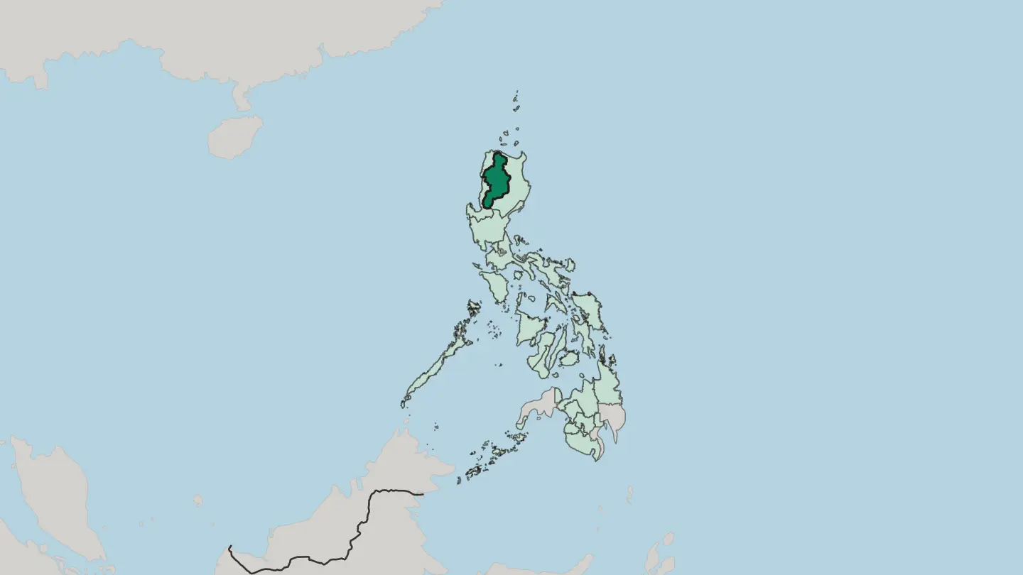 Philippines
Davao
The Davao Region spreads across the south-east of Mindanao in the Philippines, the wide tropical hinterland gathered around its hub city of Davao.Towns & cities →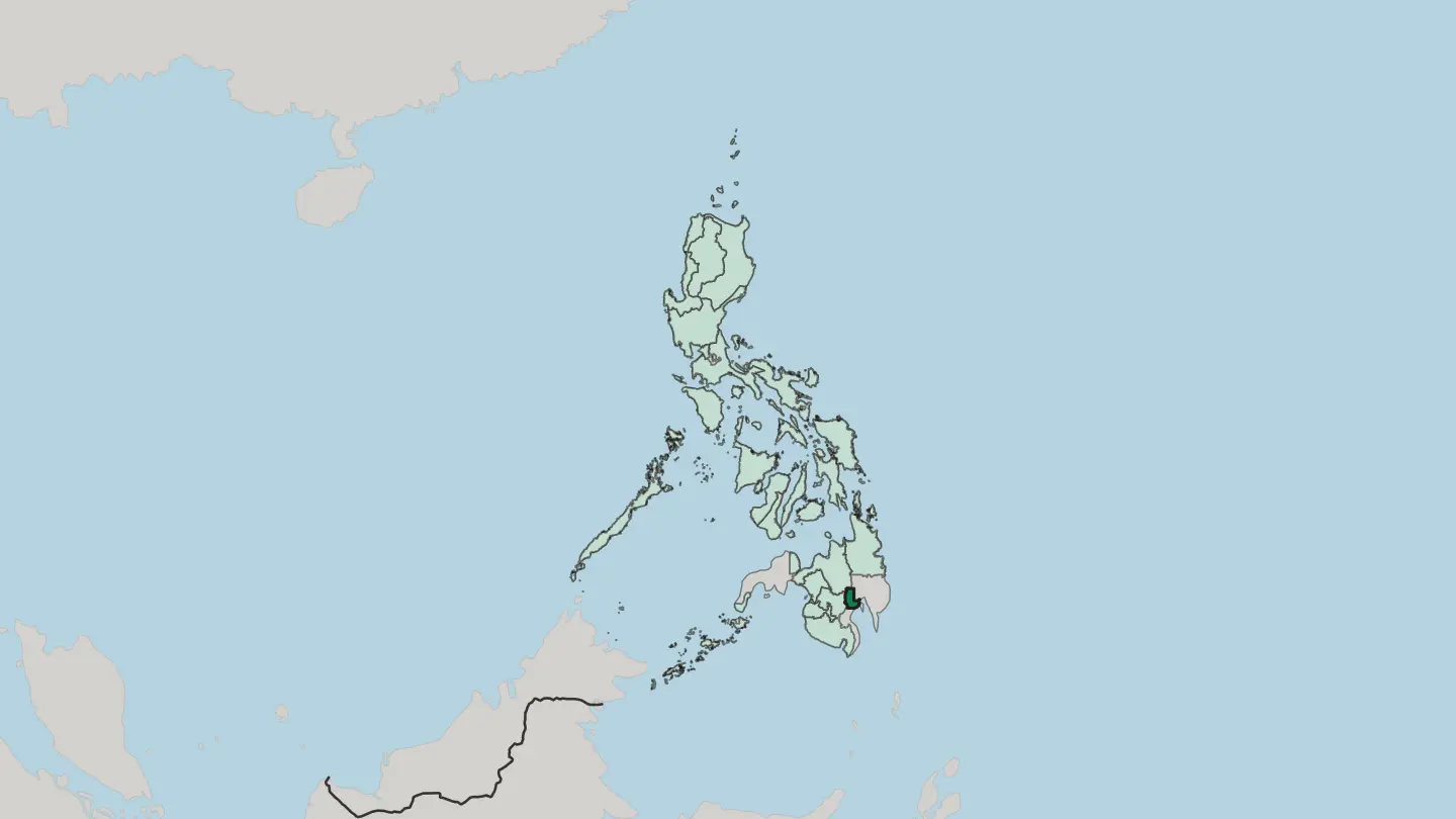
 Philippines
Eastern Visayas
Eastern Visayas is Region VIII of the Philippines: Samar, Leyte and Biliran, the easternmost islands of the Visayas group, centred on Tacloban.Towns & cities →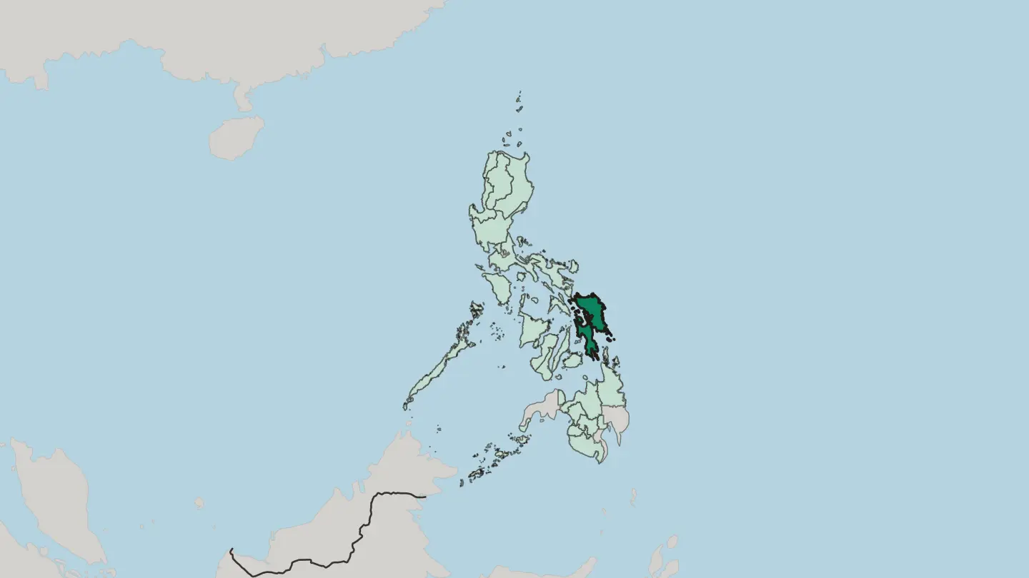
 Philippines
Ilocos
Ilocos, or Region I, occupies the northwest part of Luzon: four provinces along the West Philippine Sea, with San Fernando as regional centre.Towns & cities →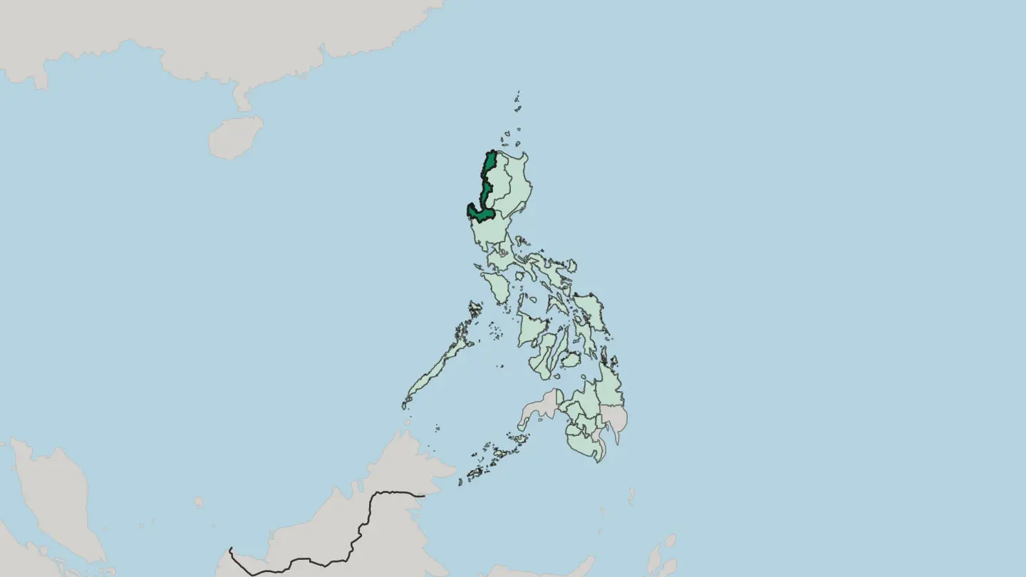
 Philippines
Mimaropa
Mimaropa is Region IV-B of the Philippines: Mindoro, Marinduque, Romblon and Palawan, four provinces with no land border to another region.Towns & cities →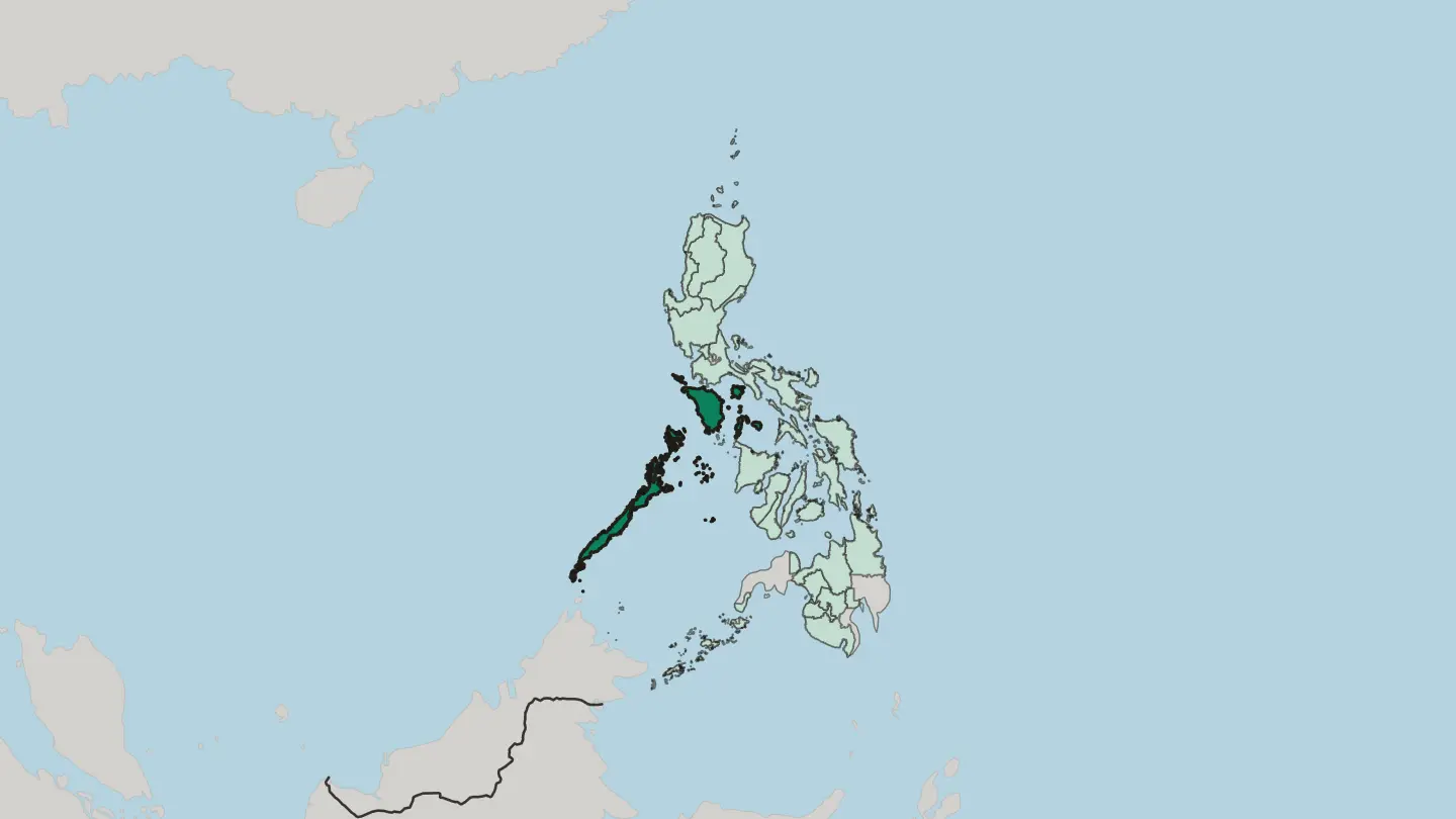 Philippines
National Capital Region
The National Capital Region gathers the cities around Manila Bay into Metro Manila, the capital region of the Philippines.Towns & cities →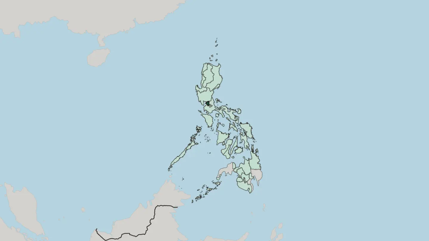
 Philippines
Northern Mindanao
Northern Mindanao is Region X of the Philippines, five provinces across the northern-central part of Mindanao, with Cagayan de Oro as regional centre.Towns & cities →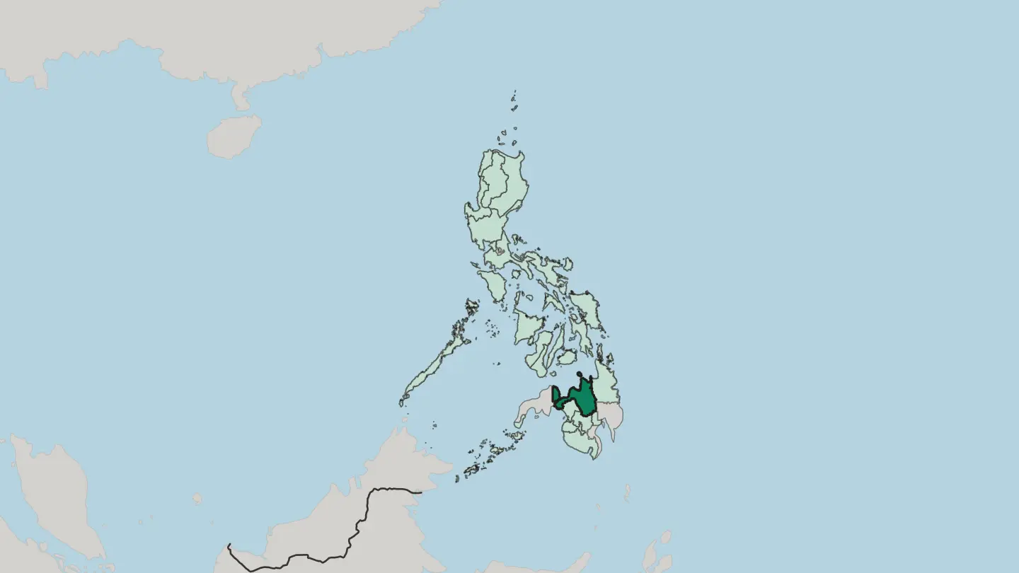 Philippines
Soccsksargen
Soccsksargen is Region XII of the Philippines: four provinces in south-central Mindanao, with Koronadal as seat and General Santos as its trade hub.Towns & cities →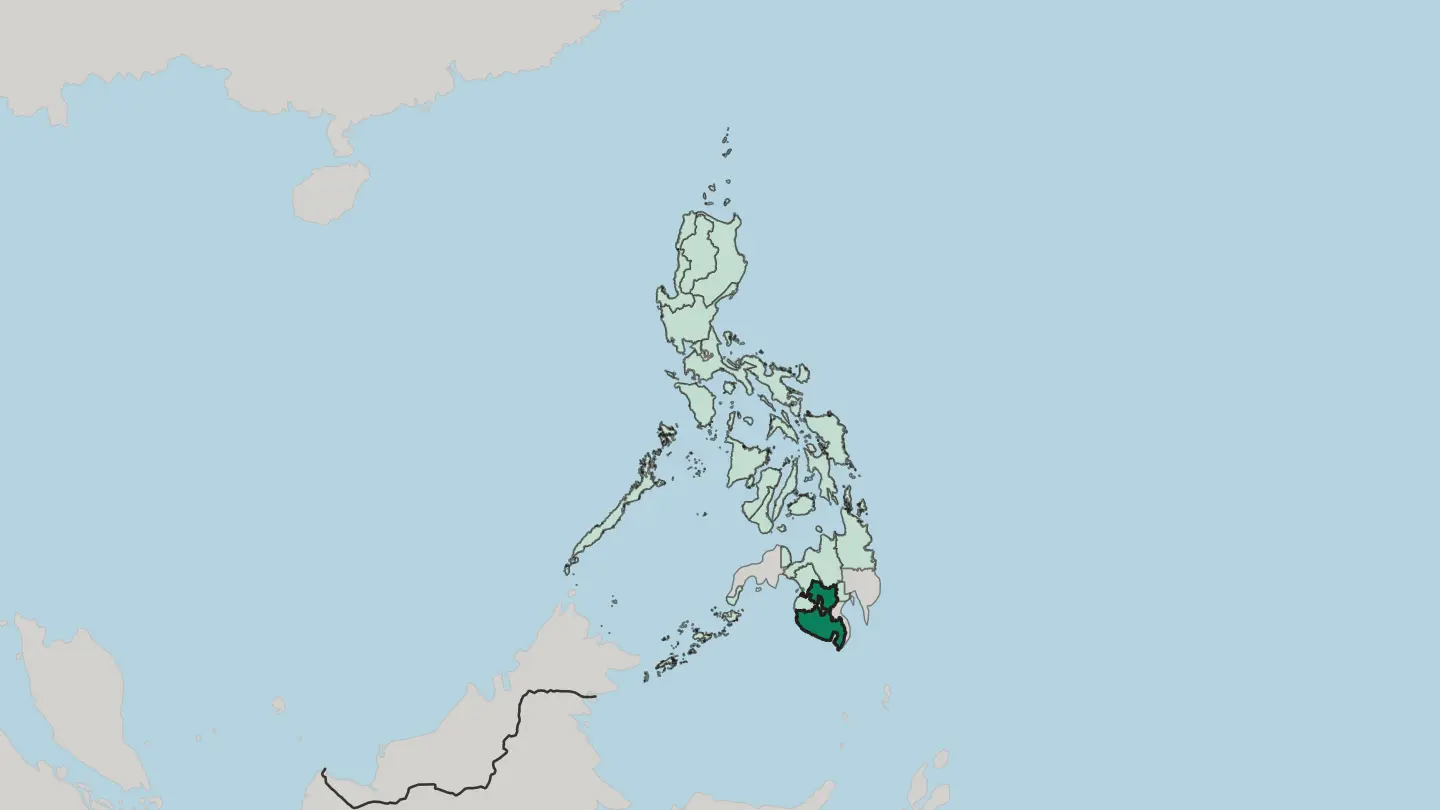
 Philippines
Western Visayas
Western Visayas is Region VI of the Philippines: Panay and Guimaras, with Boracay off Panay's northern tip and Iloilo City as its centre.Towns & cities →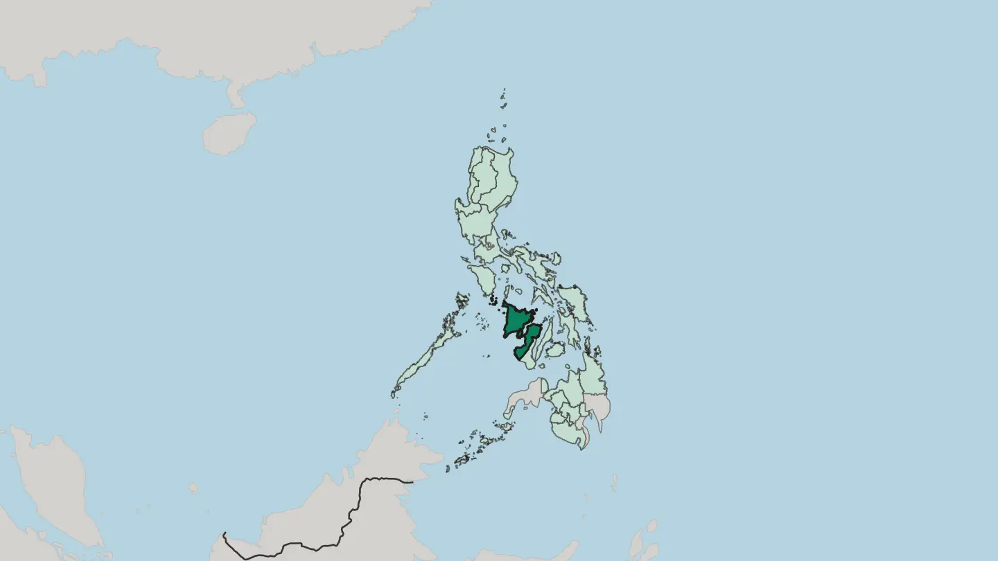
 Philippines
Zamboanga Peninsula
Region IX of the Philippines. The Zamboanga Peninsula reaches out from the island of Mindanao, gathering four provinces and two cities.Towns & cities →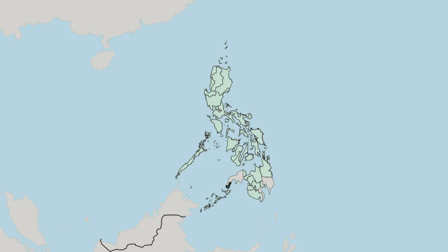
Explore by experience
Not sure which place? Start from how you want to travel.





About Philippines
What is Philippines known for?
White-sand beaches carry the country's reputation. Boracay's four-kilometre strand and the limestone lagoons of El Nido in Palawan draw divers and honeymooners in equal measure, while the Chocolate Hills of Bohol make an odd landscape of their own. Inland Luzon holds its own wonders.
The tiered Banaue Rice Terraces climb the Cordillera mountains, and the near-perfect cone of Mayon rises over the Bicol plain. Cities matter too. Manila, Cebu, and Davao anchor the three island groups and their distinct food, dialects, and history.
Where is Philippines?
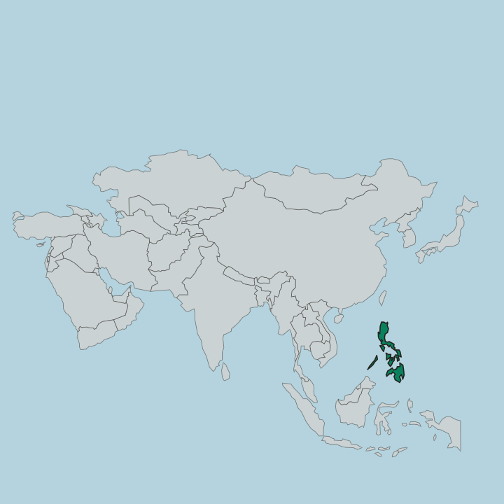
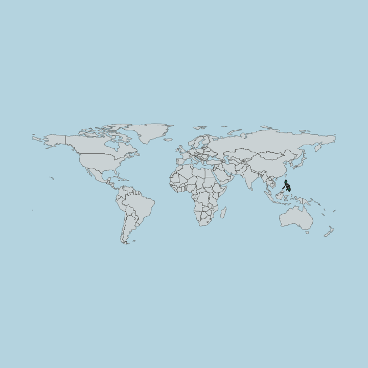
The Philippines sits in the western Pacific, a chain of more than 7,600 islands strung between the South China Sea and the Philippine Sea. Geographers sort them into three groups from north to south. Luzon holds the capital region; the Visayas cluster in the centre around Cebu, Bohol, and Panay; Mindanao closes the south.
The land is young and restless. It rides the Pacific Ring of Fire, so volcanoes and earthquakes shape the terrain, and the near-symmetrical cone of Mayon rises in Bicol. Mountains run down the spine of every large island.
On Luzon the Cordillera range rises steeply enough that the Banaue Rice Terraces were cut into its slopes centuries ago, and the Cagayan River drains the valley on their eastern flank before reaching the Babuyan Channel near Aparri. Coral reefs and mangroves fringe much of the coastline. Deep water separates the groups.
Ferries and short flights, not roads, tie the archipelago together, and no bridge spans the wide straits between Luzon, the Visayas, and Mindanao.
What is the history of Philippines?
Long before Europeans arrived, the islands held Malay barangays, Muslim sultanates in the Sulu south, and trading ties that reached China and the Indian Ocean. Ferdinand Magellan's expedition landed on Cebu in 1521 and claimed the islands for Spain, and Magellan himself was killed there by the chief Lapu-Lapu. Permanent conquest came later.
Miguel López de Legazpi founded the first Spanish settlement in the islands in 1565 and moved the seat of government to Manila, which became the Asian hub of the galleon trade running across the Pacific to Acapulco. Spain ruled for more than three centuries. Catholicism, stone churches, and Spanish surnames spread across Luzon and the Visayas, though the Muslim sultanates of Mindanao were never fully subdued.
Revolt broke out in 1896, and after the Spanish-American War the United States took control, holding the islands through a half-century that layered English and an American school system onto the Spanish inheritance. Japanese occupation in the Second World War left Manila in ruins. Full independence came on the fourth of July, 1946.
The mix of Malay, Spanish, and American strands still defines the country's names, faith, and food.
What is Philippines like?
Filipino culture braids Malay roots with Spanish and American overlays, and the seam shows in daily life. The country is one of only two in Southeast Asia where Christianity is the main faith, and its calendar turns on fiestas: the Sinulog in Cebu, the Ati-Atihan in Aklan, and Holy Week processions that fill town plazas across Luzon and the Visayas. Food carries the same layered story.
Adobo, sinigang, and lechon sit beside Spanish-derived sweets and Chinese noodle dishes, and rice underpins nearly every meal. Music runs deep. Karaoke is close to a national pastime, and folk songs share airtime with pop.
Filipino and English are both official, but more than a hundred and eighty languages are spoken, so Cebuano, Ilocano, and Hiligaynon dominate their home regions even where Tagalog serves as the shared tongue. Family ties bind everything together. The overseas Filipino worker, sending wages home from ships and cities worldwide, has become a defining figure of modern national life, and the warmth extended to guests, captured in the untranslatable idea of hospitality, is a point of genuine pride.
Regional identity stays strong. A Cebuano and an Ilocano share a country, not a first language.
What is the climate of Philippines?
The climate is tropical and shaped by the monsoon. Broadly the year splits into a dry season from around December to May and a wet season from June to November, though the pattern shifts by coast: the western side facing the South China Sea dries out early, while the eastern seaboard from Bicol to the Visayas stays damp much longer. Heat and humidity hold all year.
Typhoons are the wild card. Roughly twenty tropical cyclones enter the country's waters each year, most between July and October. Plan the season, not just the destination.
How do you get to Philippines?
Most long-haul flights land at Manila, the hub for Luzon. Cebu offers a second international airport that opens the Visayas directly, sparing many beach-bound travellers the capital altogether, and Davao serves arrivals into Mindanao. Domestic flights knit the rest together.
From these hubs low-cost carriers hop out to Palawan, Boracay's gateway on Panay, Bohol, and dozens of smaller island strips, while ferries handle the shorter sea crossings. Book the internal legs early. Distances between islands are real.
Good for
Updated October 2026