China
Xinjiang Uyghur Autonomous Region, China — Towns & Travel Guide


Xinjiang is China's largest region, a desert-and-mountain expanse in the far northwest where the old Silk Road crossed Central Asia.
Find your area →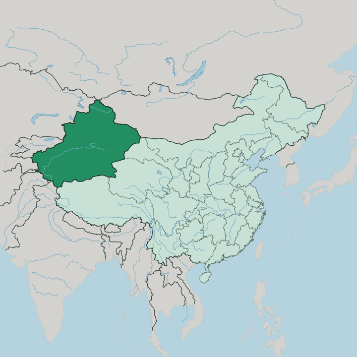
Towns & cities in Xinjiang Uyghur Autonomous Region
Pick a town or city — each links to where to stay.
 China
China
Ürümqi
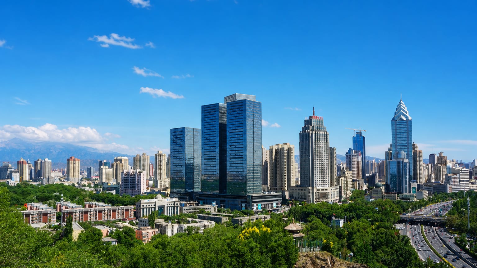
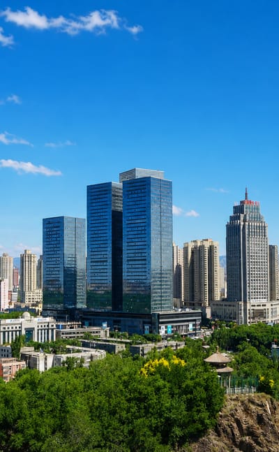
The Tian Shan mountains wall the horizon at Ürümqi, the capital of the Xinjiang Uyghur Autonomous Region in northwestern China, known for the Xinjiang…Where to stay →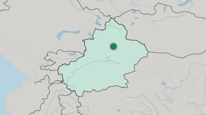
 China
China
Kashgar
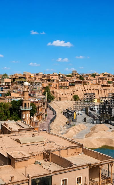
Mud-brick lanes wind through the old town of Kashgar, a Silk Road oasis in southern Xinjiang, China, known for the Id Kah Mosque and its great bazaar.Where to stay →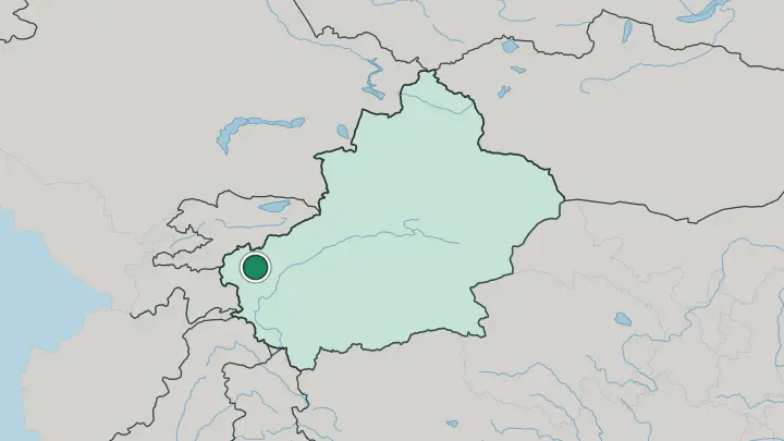
About Xinjiang Uyghur Autonomous Region
Xinjiang is the crossroads country of the old Silk Road.
What is Xinjiang Uyghur Autonomous Region known for?
Two great basins define it. The Taklamakan Desert fills the Tarim Basin in the south, one of the driest sand seas on Earth, while grassland and oasis farming spread across the north. Around the desert rim sit the caravan cities that carried silk and jade toward Central Asia, chief among them Kashgar and Turpan. Ürümqi, the regional capital, anchors the north below the Tian Shan.
Where is Xinjiang Uyghur Autonomous Region?
Xinjiang occupies the far northwest of China, the country's largest province-level division by a wide margin. It shares borders with eight countries. Afghanistan, Pakistan, India, Kazakhstan, Kyrgyzstan, Tajikistan, Russia and Mongolia all meet its rim, which makes this the most landlocked corner of China and one of the most remote places on Earth from any sea.
The land divides into three mountains and two basins. The Tian Shan run east to west across the middle, splitting the region in two. Below them, in the south, lies the Tarim Basin, and the Taklamakan Desert fills almost all of it with shifting dunes.
North of the Tian Shan sits the Dzungarian Basin, cooler and wetter, with grassland and its own smaller desert at the centre. The Kunlun Mountains wall off the southern edge against the Tibetan Plateau. Water is the exception, not the rule.
The Tarim River threads the northern edge of the Taklamakan Desert as China's longest inland river, and in the far west the Ili River drains toward Kazakhstan through the greenest valley in the region. Ürümqi, the capital, sits in the north below the Tian Shan; Kashgar guards the western gate near the passes into Central Asia. Everything here is measured in long distances and dry ground.
What is Xinjiang Uyghur Autonomous Region like?
Xinjiang faces west as much as east. The Uyghur people give the region its name and much of its everyday texture, and their language belongs to the Turkic family rather than to Chinese. Islam shapes the calendar and the skyline.
Mosques, bazaars and courtyard houses fill the old quarters of Kashgar and the oasis towns, and the muqam song-and-dance suites carry a musical tradition that runs back centuries. Food tells the same story of the road. Hand-pulled noodles, mutton kebabs, and the flat baked bread called nang are staples here, and Turpan's vineyards have made the region's raisins and melons famous across China.
This is one of the most mixed corners of the country. Uyghurs, Han Chinese, Kazakhs, Kyrgyz, Hui, Mongols and others share the same markets and streets, a legacy of the Silk Road that once funnelled traders, pilgrims and goods between China and Central Asia. The result feels closer to Samarkand than to the eastern seaboard.
Language, faith and food all lean toward the west, and the old caravan routes explain why.
What is the history of Xinjiang Uyghur Autonomous Region?
The Silk Road made this land. From the Han dynasty onward, Chinese, Turkic and Central Asian powers fought over the oasis cities that ringed the Taklamakan Desert, because whoever held Kashgar and Turpan controlled the trade in silk, jade and horses. Control passed in and out of Chinese hands for centuries.
The Qing empire reconquered the territory in the eighteenth century and named it Xinjiang, meaning "new frontier", and made it a formal province in 1884. A People's Republic government re-established it as the Xinjiang Uyghur Autonomous Region in 1955. Its whole story is the story of a frontier between China and Central Asia.
What is the climate of Xinjiang Uyghur Autonomous Region?
Xinjiang has one of the harshest continental climates anywhere, dry to the point of true desert. The Taklamakan Desert can go a whole year with almost no rain, and summers there blaze while winters bite. The Turpan Depression, the lowest ground in China, is its furnace, one of the hottest places in the country in high summer.
North of the Tian Shan the Dzungarian Basin turns colder and takes more snow, and the Ili valley in the west stays greener than anywhere else. Blowing sand is the constant.
How do you get to Xinjiang Uyghur Autonomous Region?
Nearly everyone arrives through Ürümqi, whose airport is the main way into the far northwest of China. The city holds a record for remoteness. No large city on Earth sits farther from the sea, so for most travellers a flight from eastern China or a Central Asian capital is the only practical way in, given the distances involved.
High-speed rail links Ürümqi east toward the rest of the country, and a bullet train reaches Turpan in roughly an hour. The far corners take longer. Getting on to Kashgar or the Ili valley near Yining usually means a further flight or a long road across the basins.
Common questions
What is the best area to stay in Xinjiang Uyghur Autonomous Region?
Ürümqi: arrivals and onward connections. Kashgar: the western oasis and its bazaar.
Good for
Updated July 2026