China
Guangxi Zhuang Autonomous Region, China — Towns & Travel Guide


Guangxi is China's karst south, where the Li River winds past Guilin's limestone peaks toward the Gulf of Tonkin and Vietnam.
About Guangxi Zhuang Autonomous Region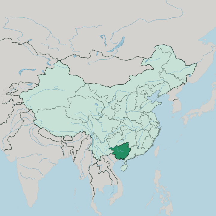
Towns & cities in Guangxi Zhuang Autonomous Region
Pick a town or city — each links to where to stay.
Trips split two ways. Guilin is the classic base for the Li River, with the smaller riverside town of Yangshuo County downstream drawing travellers who want to walk and cycle among the karst. Nanning suits a first arrival, being the region's main gateway and its transport core in the south.
The Gulf of Tonkin coast around Beihai adds beaches and seafood at the region's southern edge. Choose Guilin or Yangshuo County for the limestone scenery; choose Nanning for connections; head to Beihai when you want the coast.
About Guangxi Zhuang Autonomous Region
Limestone is the signature.
What is Guangxi Zhuang Autonomous Region known for?
The clustered karst towers around Guilin and the Li River gorge downstream to Yangshuo County are the postcard that draws most first-time visitors to Guangxi, painted for centuries and printed on the country's banknotes. Nanning, the capital, anchors the region's south as its road, rail and air hub. Away from the peaks, the Longji Rice Terraces climb the northern hills in stacked green ribbons, while the Gulf of Tonkin coast holds beach towns like Beihai.
It is the homeland of the Zhuang, China's largest minority people.
Where is Guangxi Zhuang Autonomous Region?
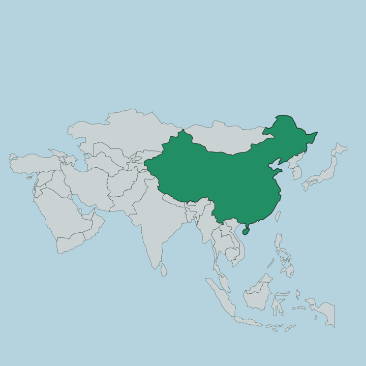
Guangxi occupies the far south of China, pressed against the Vietnam border and the warm Gulf of Tonkin. It shares land boundaries with four Chinese neighbours. Yunnan lies to the west, Guizhou to the north, Hunan to the north-east and Guangdong to the east, so only the short south-western frontier with Vietnam and the southern coast open the region to anywhere beyond China. The terrain is mostly hills and low mountains, and karst is its defining trait: eroded limestone covers well over a third of the land, throwing up the isolated spires, sinkholes and cave rivers that Guangxi is known for.
Water ties the region together. The Li River flows south past Guilin through the most photographed of those karst gorges, and Guangxi's rivers drain eastward into the Xi River, the main western branch of the Pearl River that carries their water on toward the delta and the sea near Guangdong. Along the south, the coast meets the Gulf of Tonkin, giving the inland region its own stretch of shore and its ports.
It is a land of stone towers and river valleys.
What is Guangxi Zhuang Autonomous Region like?
Guangxi is the homeland of the Zhuang, the largest of China's officially recognised minority peoples, and their presence gives the whole region its official name. More than nine in ten of China's Zhuang live here. They speak a cluster of Tai languages, kin to the tongues spoken across the border in Vietnam, and the wider region also holds Dong, Miao, Yao and other minority communities alongside the Han majority.
Old customs survive in the villages: wooden houses raised on stilts, terraced rice paddies worked with buffalo, and the song festivals for which the Zhuang are widely known. The blend is what marks the place. Nanning, Liuzhou and the other cities carry the everyday Han Chinese life of the modern south, while the countryside of the north and west keeps a stronger minority character.
Food leans to rice noodles and river fish, with Liuzhou's pungent snail noodle soup and Guilin's rice noodles among the region's best-known dishes. Markets, embroidery, bronze drums and the terraced hills all speak of a farming culture built on generations of wet rice. Guangxi wears its diversity plainly.
What is the history of Guangxi Zhuang Autonomous Region?
This was the land of the Baiyue. Long before imperial rule reached the far south, the Zhuang and their kin farmed these valleys, and the Qin dynasty pushed Chinese administration into the region more than two thousand years ago. For centuries afterward Guangxi stayed a frontier, a mountainous province on the empire's restless southern edge.
It became the Guangxi Zhuang Autonomous Region in 1958. That change recognised the Zhuang majority, and the seat of government later settled south at Nanning rather than the old provincial capital of Guilin.
What is the climate of Guangxi Zhuang Autonomous Region?
Guangxi runs hot and wet. Its subtropical monsoon climate brings long, humid summers and short, mild winters where snow almost never falls. The monsoon delivers most of the year's rain between spring and late summer, so the karst valleys stay green and the rivers run full.
The Gulf of Tonkin coast around Beihai is warmest of all, catching the sea's damp maritime air. Pack for humidity and sudden downpours.
How do you get to Guangxi Zhuang Autonomous Region?
Air and rail dominate. Nanning is the region's main gateway, with the busiest airport and fast trains running north to the rest of China and south toward the Vietnam border. Guilin has its own airport and rail links, letting travellers fly straight in for the Li River and the karst.
Along the Gulf of Tonkin, Beihai adds seaports and coastal rail. From Nanning, the line south runs all the way to the frontier crossing into Vietnam.
Good for
Updated July 2026