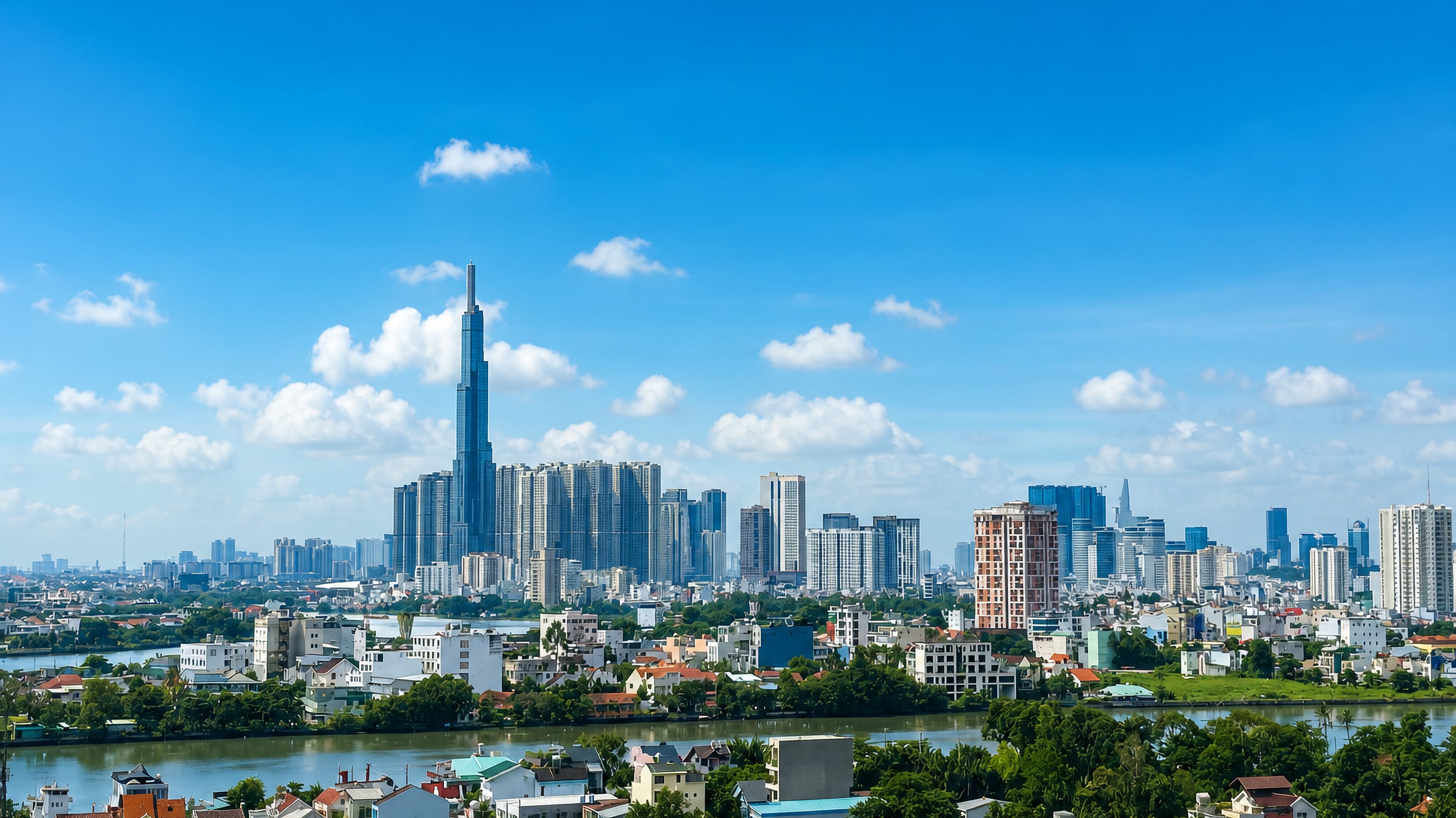
Vietnam: Regions, Cities & Travel Guide
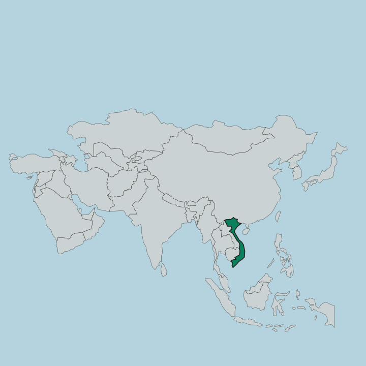
Vietnam is a long coastal country on the eastern edge of Mainland Southeast Asia, running from Hanoi in the north to Ho Chi Minh City in the south.
Hotel links are affiliate links: booking through them may earn us a commission, at no extra cost to you. It never affects how places are ranked. How this works


Top destinations in Vietnam
Cities to start from, then drill into areas and hotels.
 Vietnam
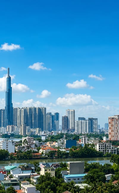
Ho Chi Minh City
Ho Chi Minh City, still widely called Saigon, is the largest city in Vietnam, a financial hub of skyscrapers and old quarters on the Saigon River.Where to stay →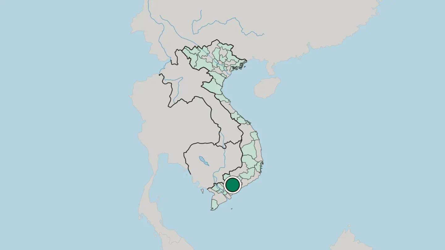
 Vietnam
Hanoi
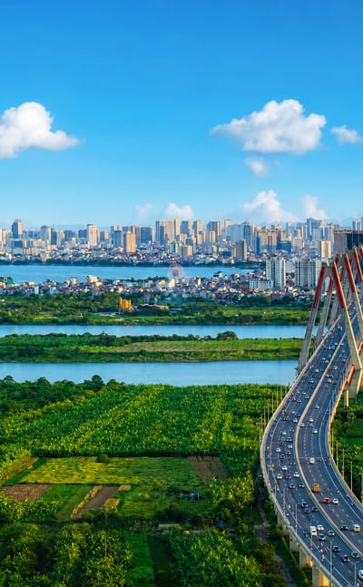
Hanoi is the capital of Vietnam, a city of lakes and old quarters more than a thousand years old, gathered around Hoàn Kiếm Lake.Where to stay → Vietnam
Da Nang
Da Nang is a port city on the South China Sea coast of central Vietnam, midway between Hanoi and Ho Chi Minh City.Where to stay →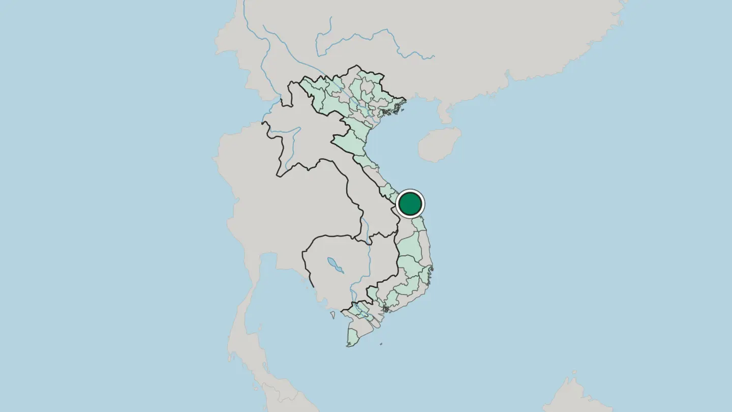
 Vietnam
Đà Lạt
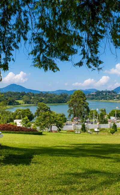
Cool air off the Langbiang Plateau settles over Đà Lạt, the largest city of Vietnam's Central Highlands, a highland town of hillside churches.Where to stay →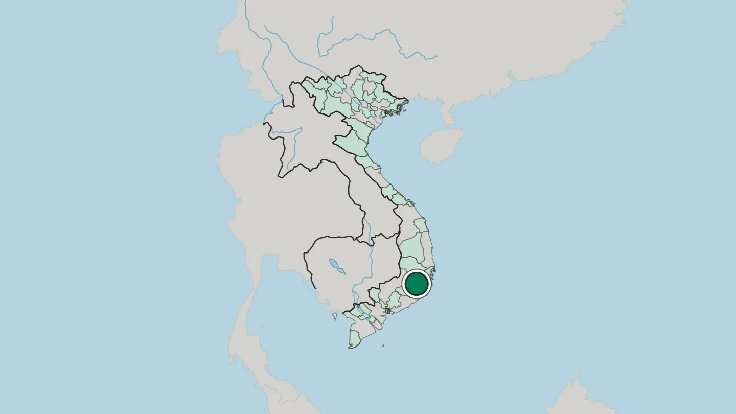
 Vietnam
Nha Trang
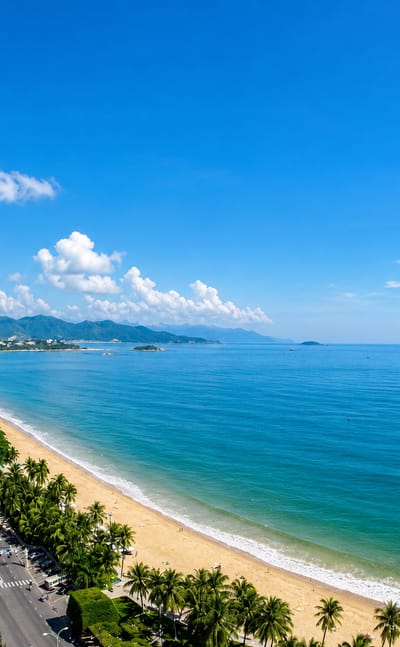
Long beaches curve along the sea at Nha Trang, a coastal resort city in Khánh Hòa on the South Central Coast of Vietnam, known for its diving.Where to stay →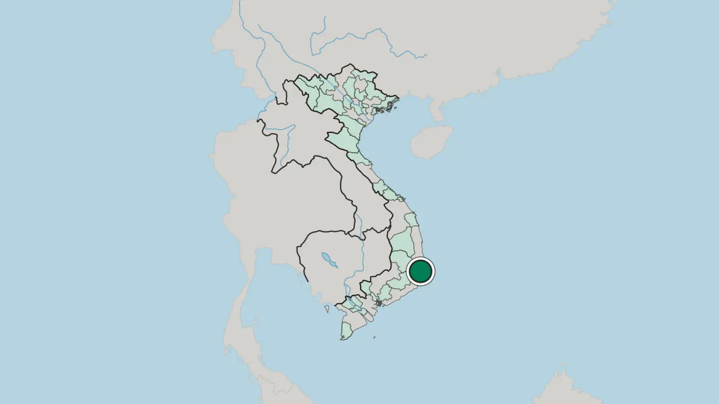
 Vietnam
Cần Thơ
Cần Thơ is the largest city of the Mekong Delta in southern Vietnam, a river city of canals and floating markets on a branch of the great Mekong.Where to stay →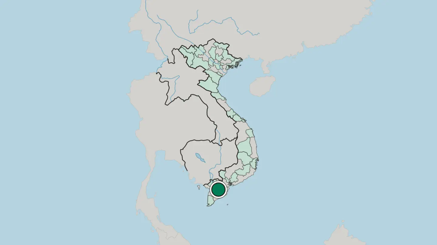
 Vietnam
Vũng Tàu
Vũng Tàu is a coastal city of Vietnam on its own island, some 125 km from Ho Chi Minh City and a weekend shore for Saigon.Where to stay →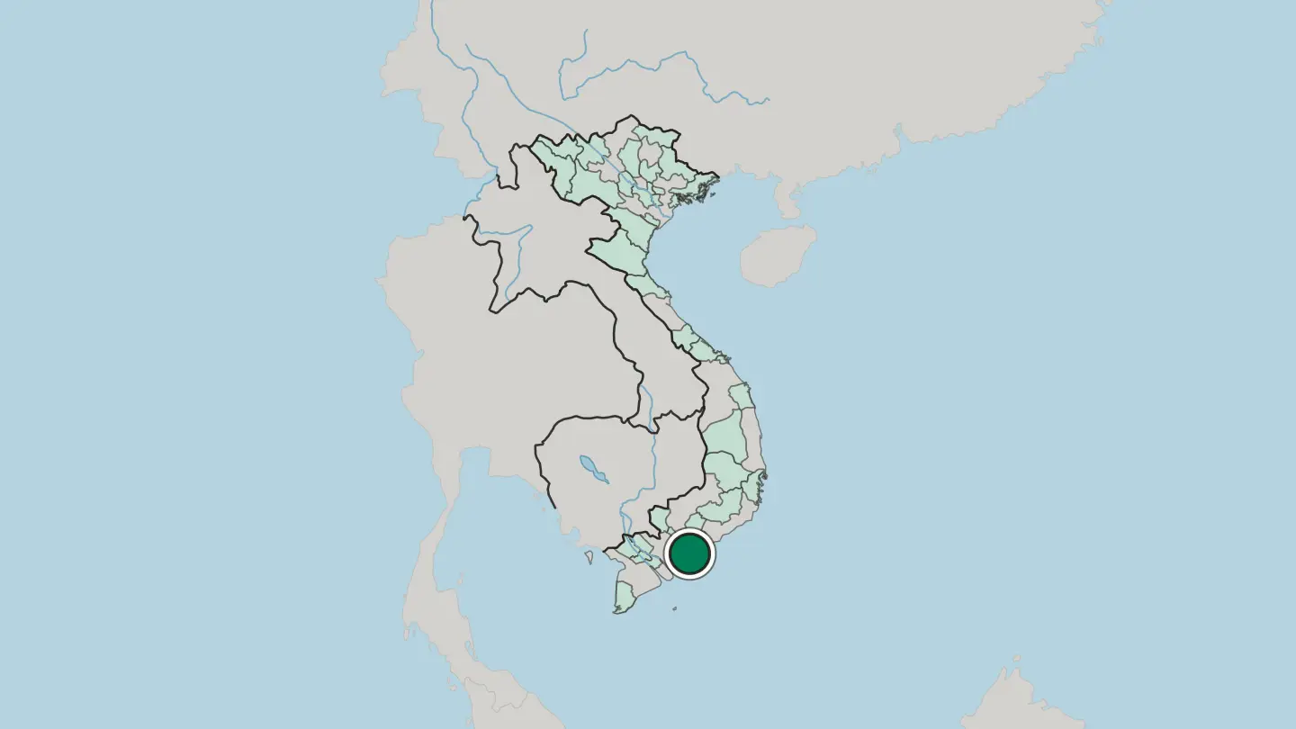
 Vietnam
Qui Nhon
Qui Nhon is a coastal city of central Vietnam, a port of curving beaches and old Cham towers on the shore of the East Sea.Where to stay →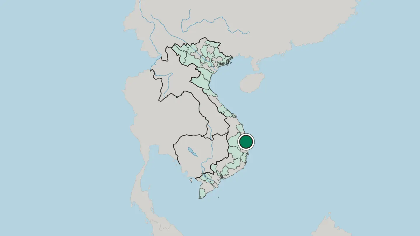
 Vietnam
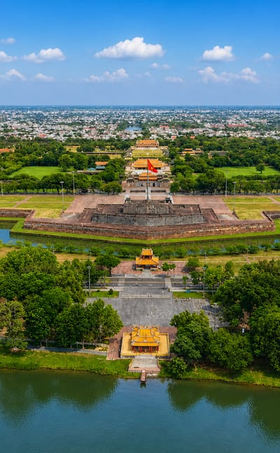
Huế
Walls and gates ring the Huế citadel at Huế, the old imperial capital of Vietnam, known for its royal tombs and temples.Where to stay →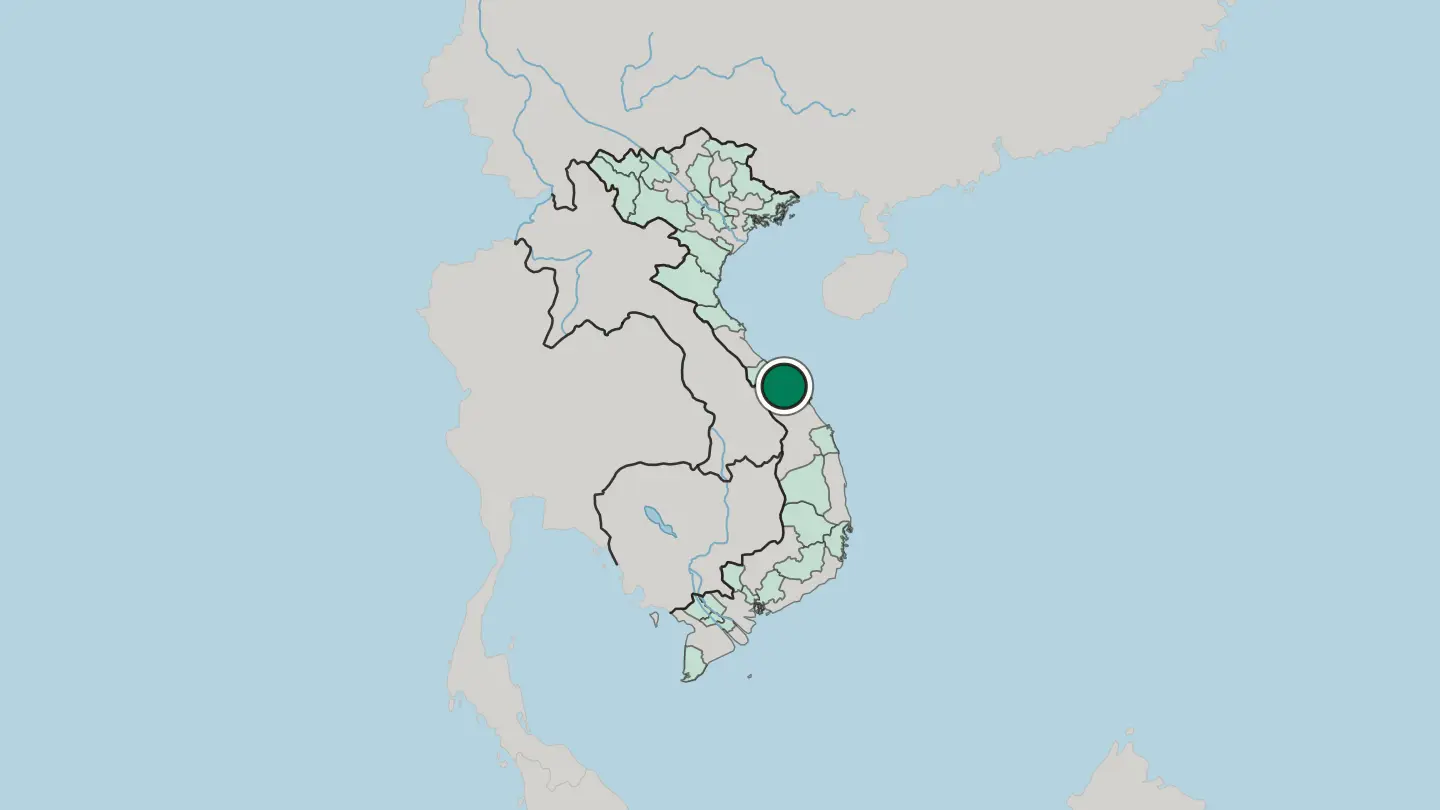
Hotel links are affiliate links: booking through them may earn us a commission, at no extra cost to you. It never affects how places are ranked. How this works
Regions of Vietnam
 Vietnam
An Giang
An Giang is the western edge of Vietnam's Mekong Delta, where the Seven Mountains rise from rice plains between the Tiền and Hậu rivers.Towns & cities →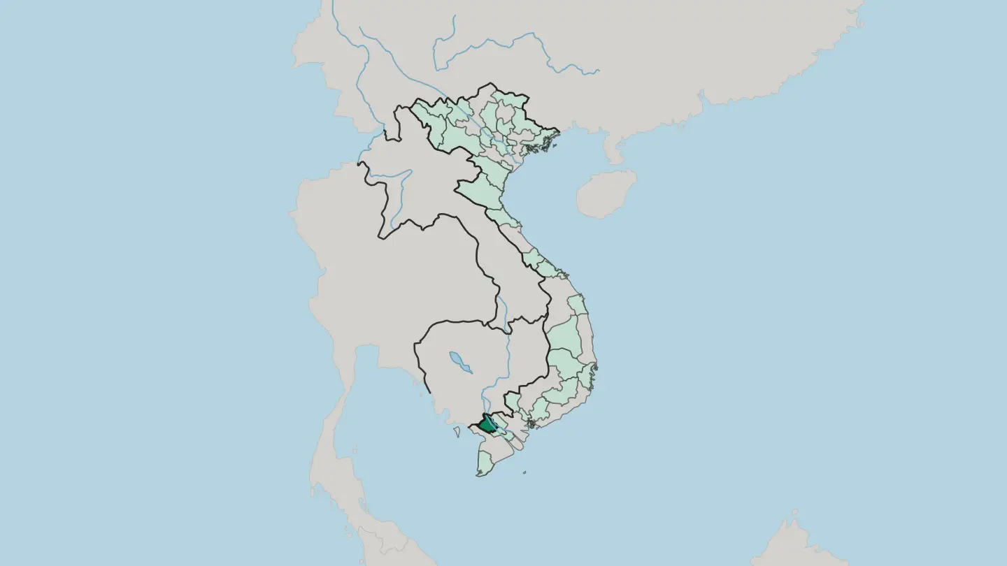
 Vietnam
Bac Ninh
Bắc Ninh is the old Kinh Bắc heartland northeast of Hanoi, homeland of the Lý kings, of Quan họ song and Đông Hồ folk prints.Towns & cities →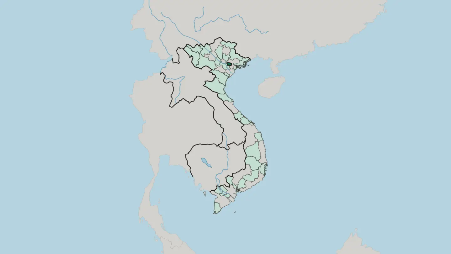
 Vietnam
Ca Mau
Cà Mau is Vietnam's southernmost province, a mangrove peninsula narrowing to Mũi Cà Mau, the final cape of the mainland.Towns & cities →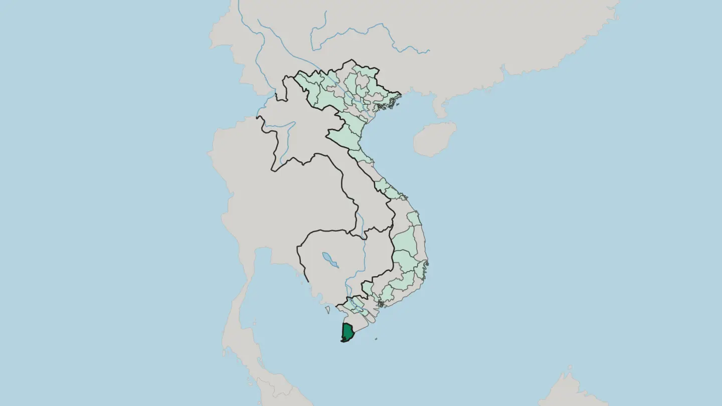 Vietnam
Can Tho City
Cần Thơ is the largest city of the Mekong Delta, a river port on the Hậu where floating markets crowd the canals of southern Vietnam.Towns & cities →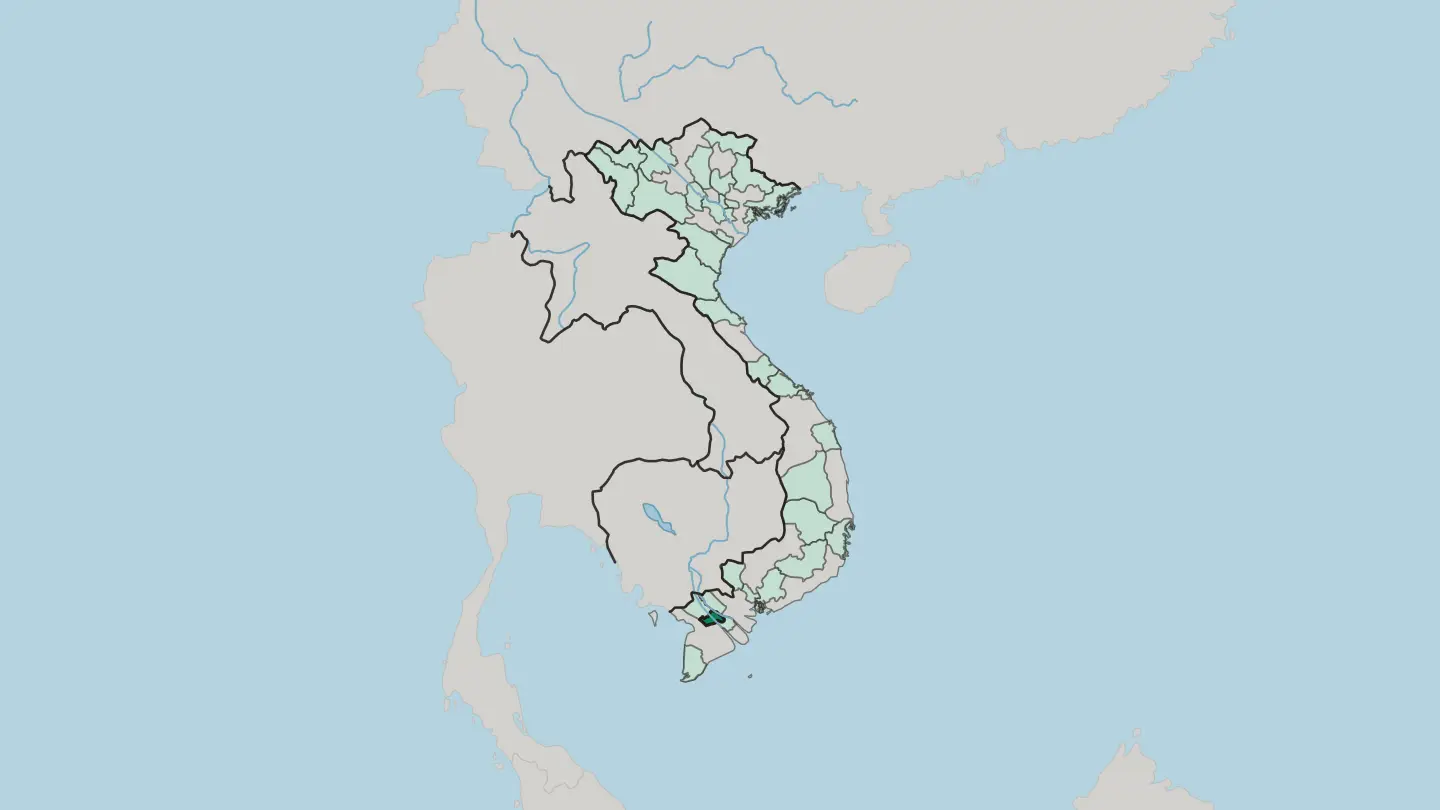 Vietnam
Da Nang City
Da Nang is Vietnam's central-coast port city, spread along the Hàn River where it opens into the South China Sea below the Marble Mountains.Towns & cities →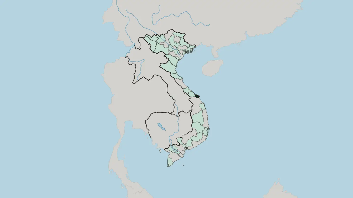
 Vietnam
Dak Lak
Đắk Lắk is a province on a basalt plateau in the Central Highlands where the Srepok River drains west into the Mekong.Towns & cities →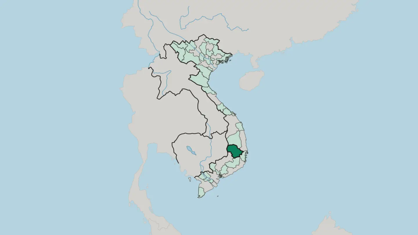
 Vietnam
Dong Nai
Đồng Nai spreads east of Ho Chi Minh City, a province of the Đồng Nai River, Trị An reservoir and the forests of Cát Tiên.Towns & cities →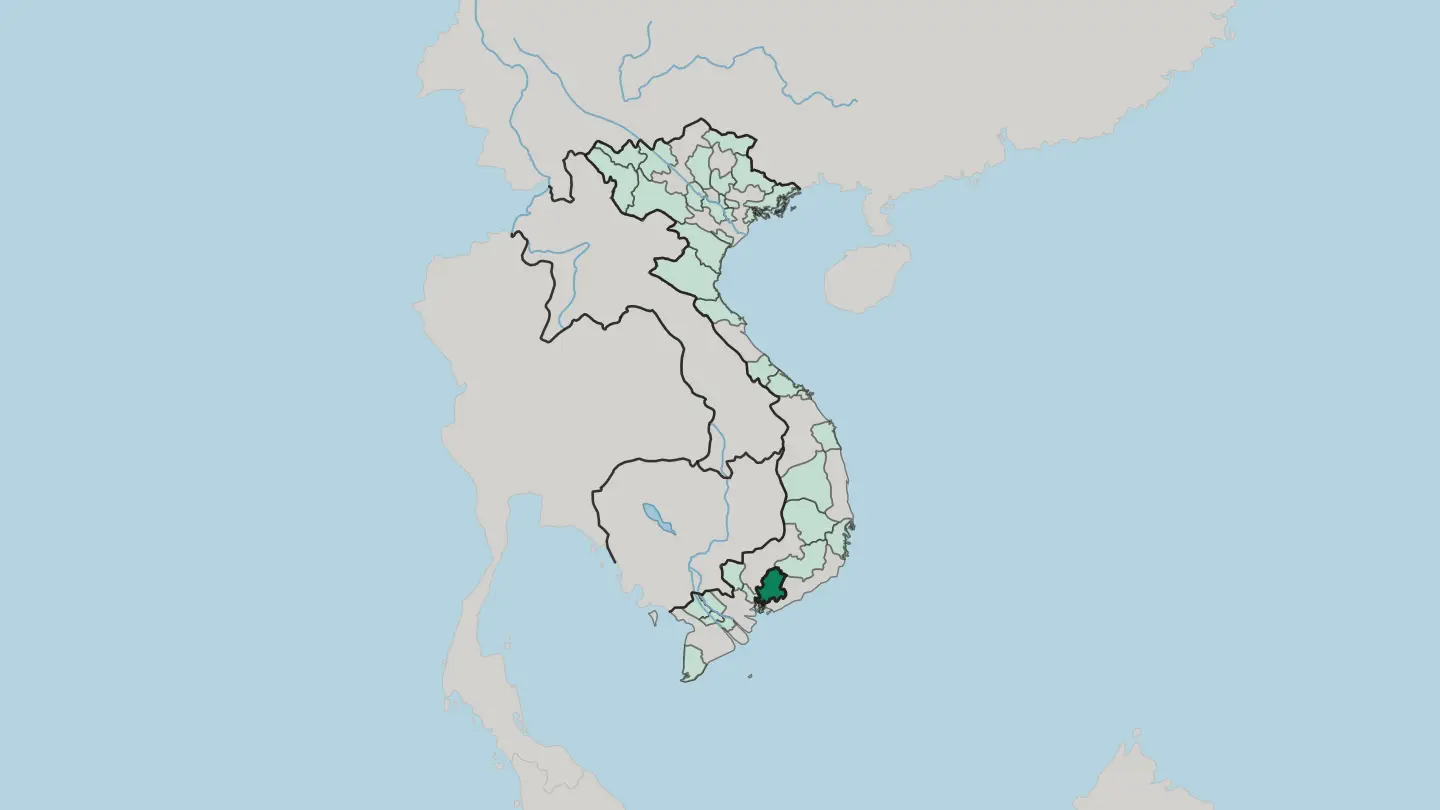 Vietnam
Dong Thap
Đồng Tháp spreads across the Mekong Delta of southern Vietnam, a low wetland of lotus ponds and reed marsh laced by the Tiền River.Towns & cities →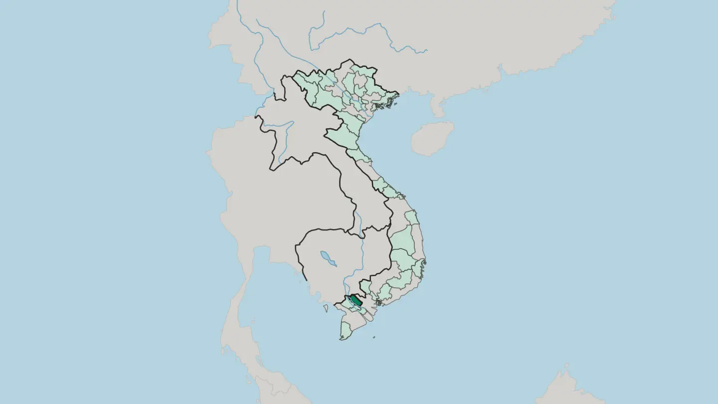 Vietnam
Gia Lai
Gia Lai runs from Vietnam's basalt Central Highlands, coffee country of the Jarai, down to the beaches of Quy Nhơn.Towns & cities →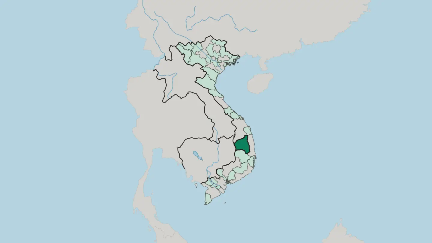
 Vietnam
Hai Phong
Hai Phong is northern Vietnam's largest seaport, set at the mouth of the Cấm River on the Gulf of Tonkin, the mainland base for Cat Ba Island.Towns & cities →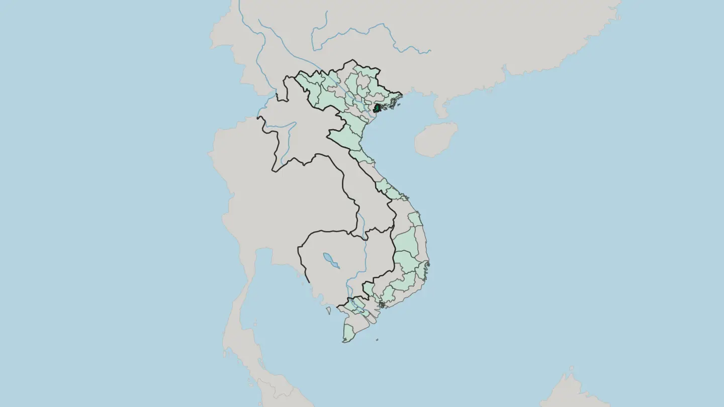 Vietnam
Hanoi
Hanoi is the capital region of Vietnam, the municipality wrapped around the capital city, gathered on the shores of Hoàn Kiếm Lake and West Lake.Towns & cities →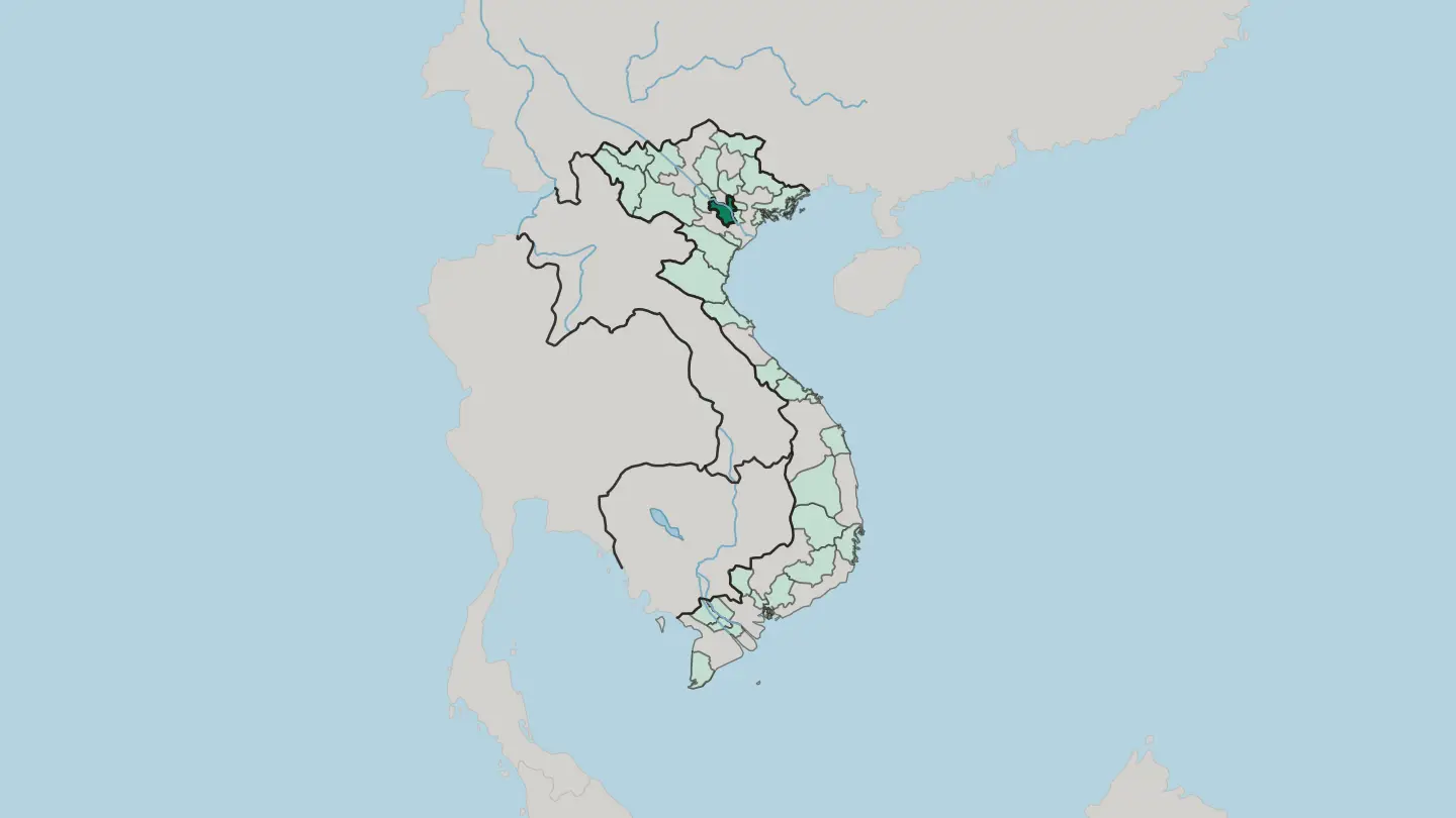 Vietnam
Ho Chi Minh City (HCMC)
Ho Chi Minh City (HCMC) is the region built around Saigon, the largest city in Vietnam, an area that draws its name and its life from that one city.Towns & cities →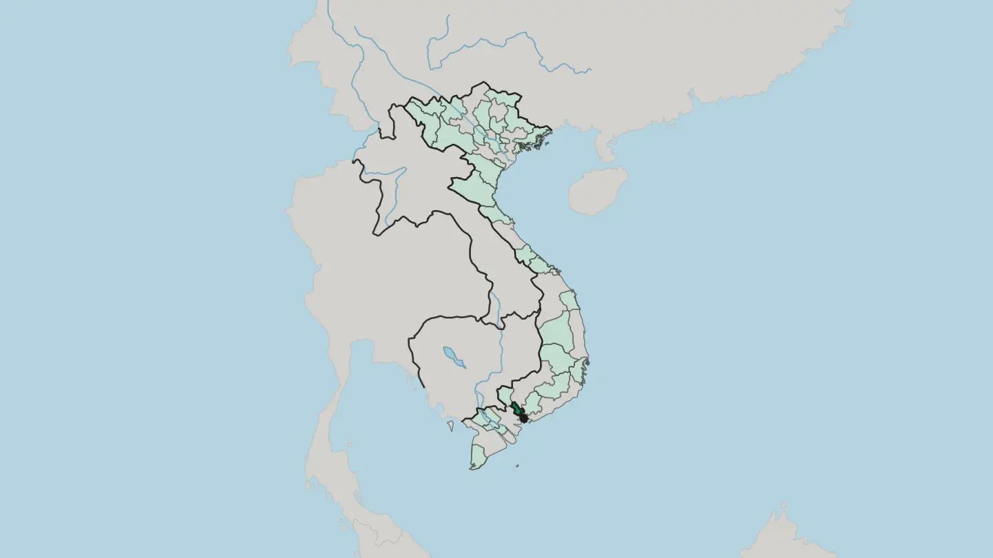 Vietnam
Hung Yen
Hưng Yên is a Red River Delta province of Vietnam, centred on the old trading town of Phố Hiến, with longan orchards across its flat plain.Towns & cities →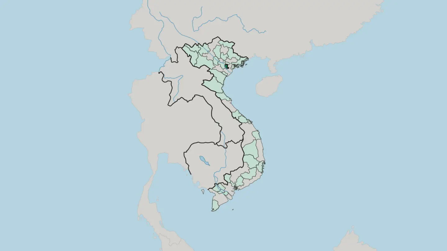 Vietnam
Khanh Hoa
Khánh Hòa is a coastal province on the south-central shore of Vietnam, its beaches, bays and Cham towers centred on the resort city of Nha Trang.Towns & cities →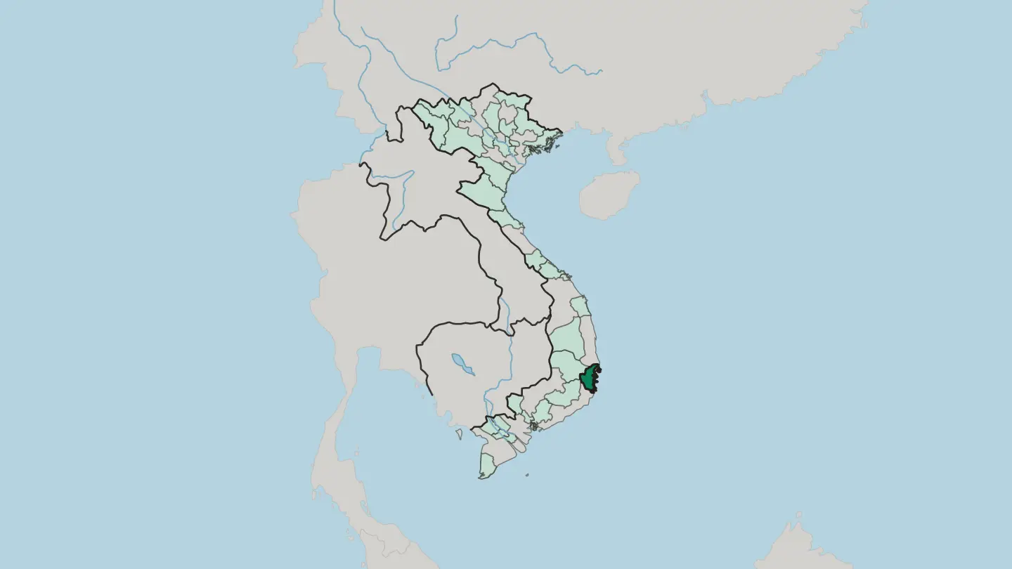 Vietnam
Lam Dong
Lâm Đồng runs from Vietnam's cool Central Highlands down to a South China Sea coast, its highland heart the old French hill-station city of Đà Lạt.Towns & cities →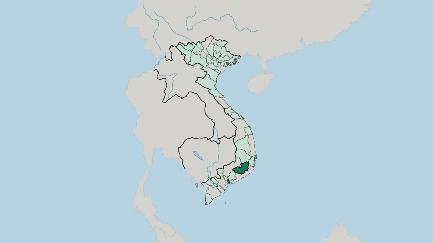 Vietnam
Lao Cai
Lào Cai is Vietnam's mountainous far north-west, where the Red River enters from China and Fansipan rises above the terraced valleys of Sa Pa.Towns & cities →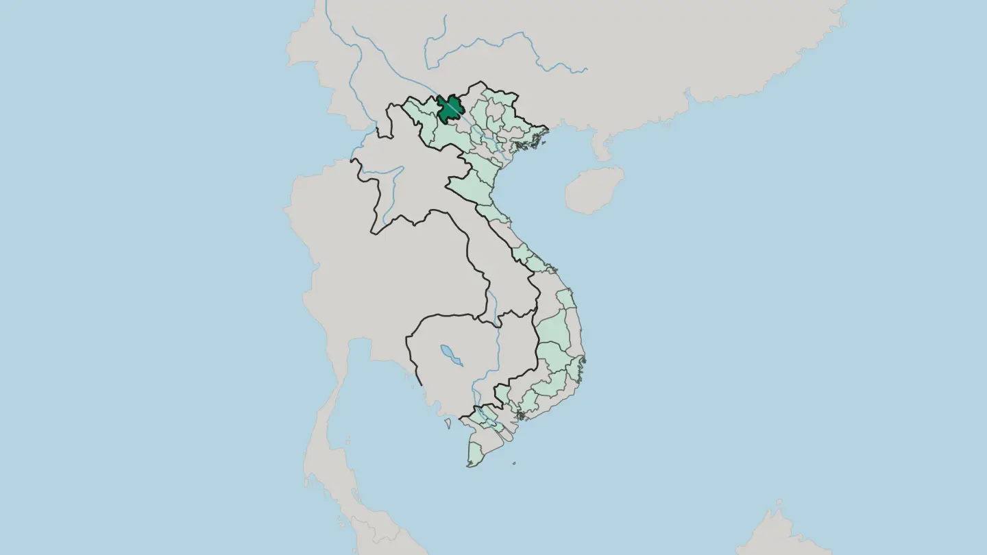
 Vietnam
Ninh Binh
Ninh Binh is a province in the southern Red River Delta of Vietnam, where karst towers and cave rivers ring the old capital of Hoa Lư.Towns & cities →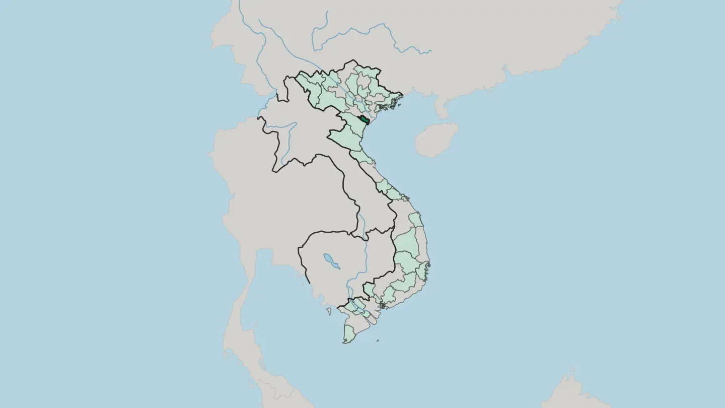
 Vietnam
Phu Tho
Phú Thọ is Vietnam's ancestral heartland, where the Đền Hùng temples crown Nghĩa Lĩnh above the meeting of the Red, Lô and Đà rivers at Việt Trì.Towns & cities →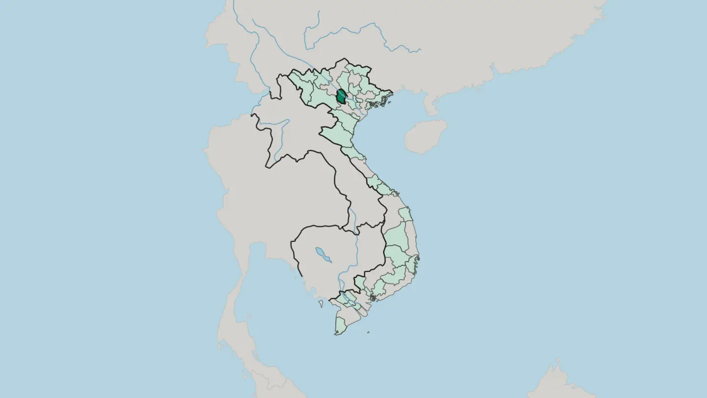
 Vietnam
Quang Ngai
Quảng Ngãi is a coastal province in central Vietnam, where the Trà Khúc River reaches the sea opposite the volcanic island of Lý Sơn.Towns & cities →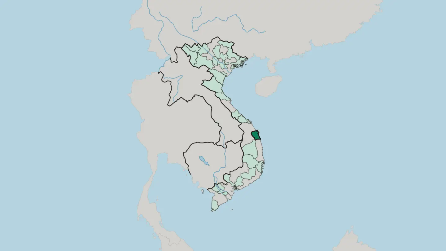
 Vietnam
Quang Tri
Quảng Trị is central Vietnam's old war frontier, split for two decades by the Bến Hải river and the DMZ along the 17th parallel.Towns & cities →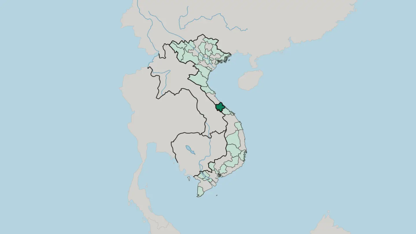
 Vietnam
Tay Ninh
Tây Ninh is a flat borderland province of southeastern Vietnam, marked by the lone peak of Núi Bà Đen and the Cao Đài Holy See.Towns & cities →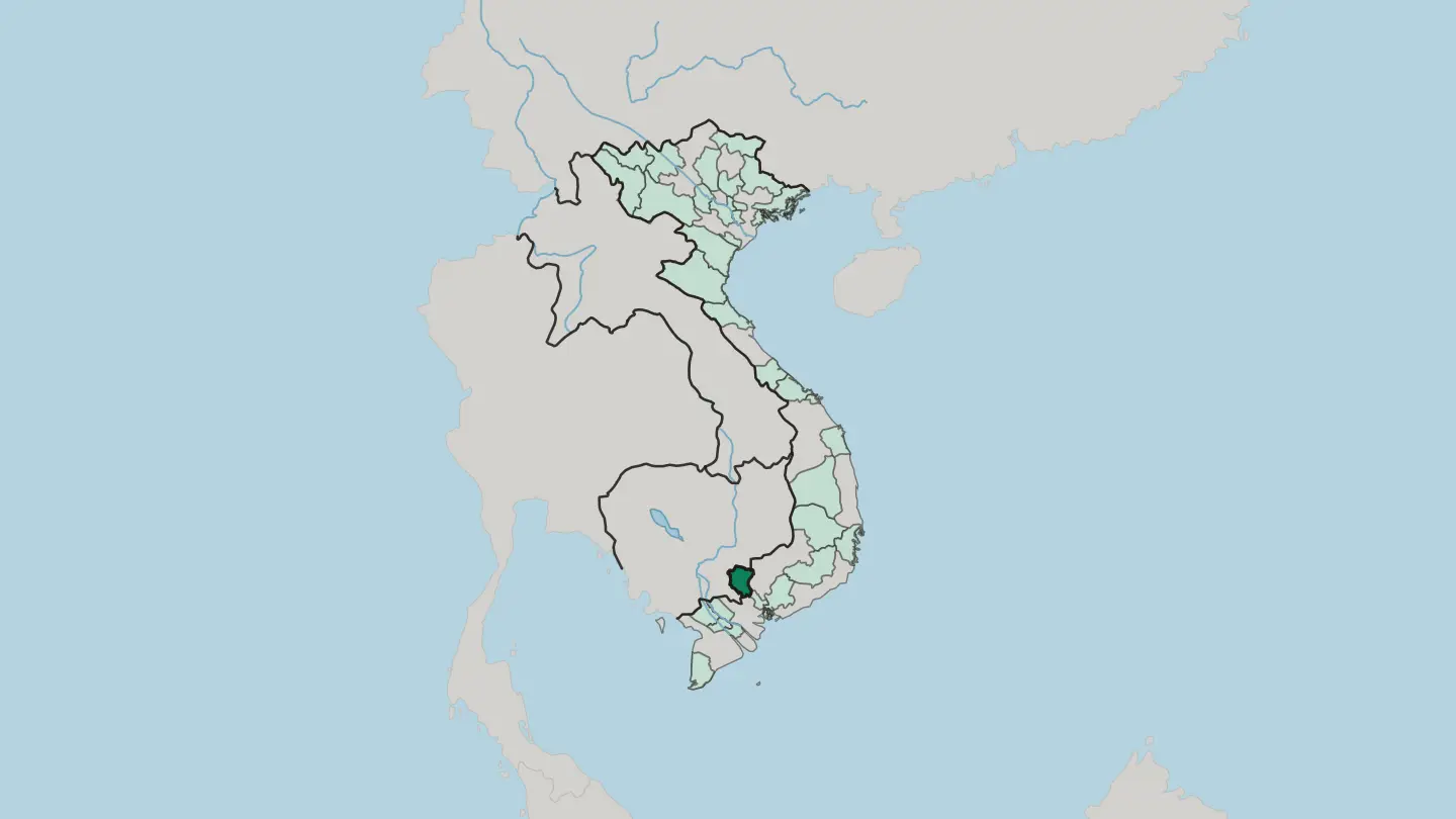
 Vietnam
Thai Nguyen
Thái Nguyên is Vietnam's tea country, a hill province of green terraces and reservoir lakes in the highlands north of Hanoi.Towns & cities →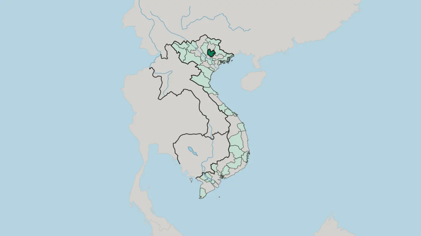 Vietnam
Thừa Thiên Huế
Thừa Thiên Huế is a central Vietnamese province where the Perfume River runs past the old imperial capital of Huế to the sea.Towns & cities →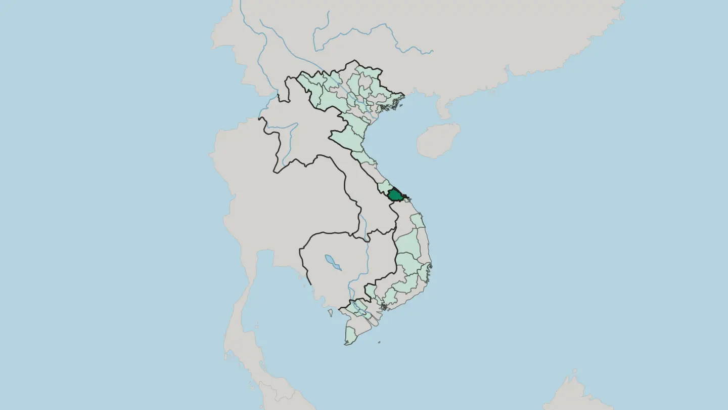
 Vietnam
Tuyen Quang
Tuyên Quang is a mountainous province in northern Vietnam, where the Lô and Gâm rivers wind past limestone peaks toward the forest of Nà Hang.Towns & cities →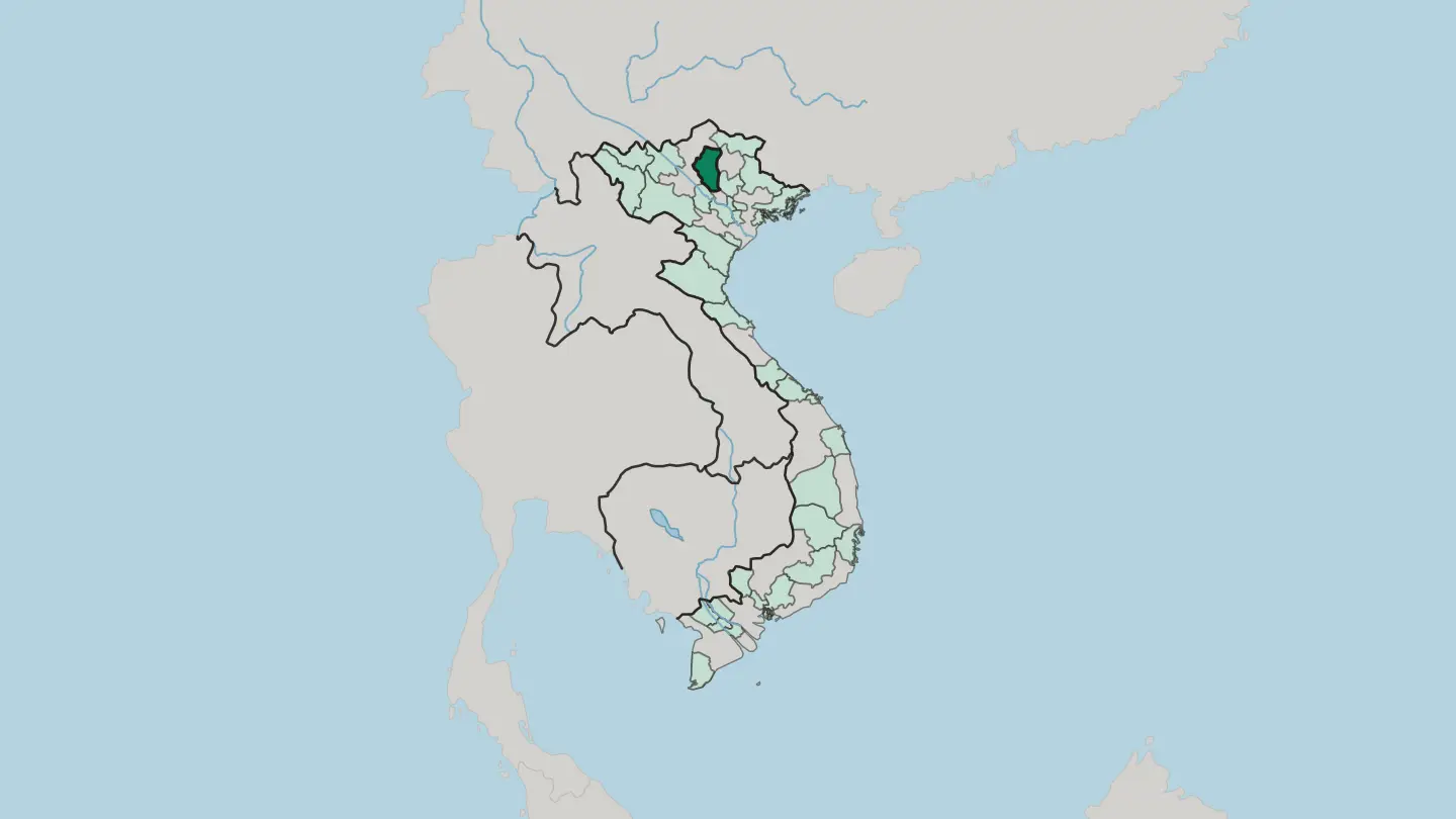
 Vietnam
Tỉnh Cao Bằng
Cao Bằng fills the far north-east of Vietnam, framed by limestone karst and the wide Bản Giốc Waterfall on the border with China.Towns & cities →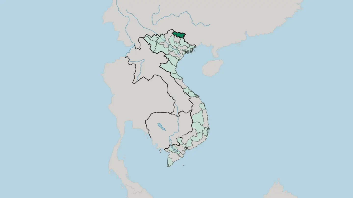
 Vietnam
Tỉnh Hà Tĩnh
Hà Tĩnh is a mountainous province on Vietnam's north-central coast, where the Annamite Range drops to a narrow shore on the Gulf of Tonkin.Towns & cities →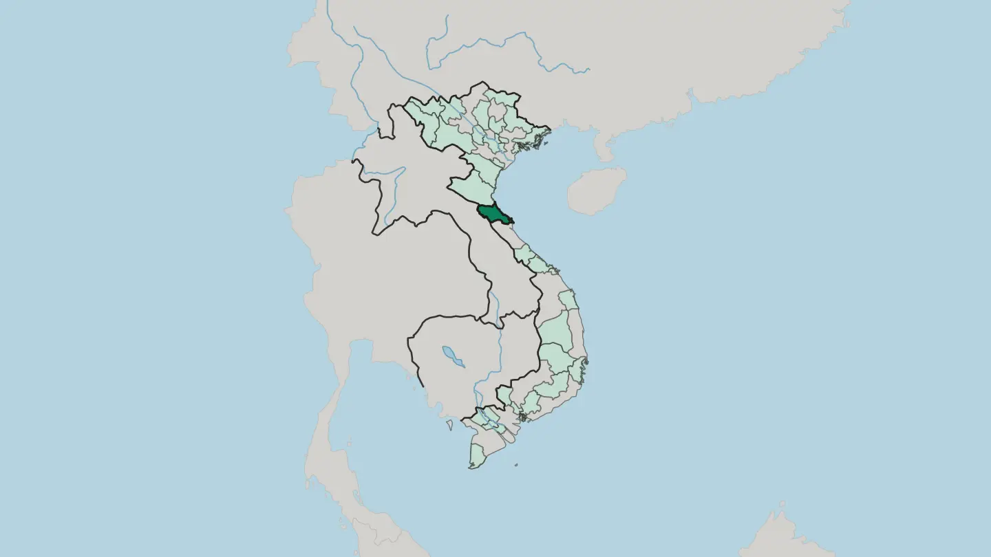 Vietnam
Tỉnh Lai Châu
Lai Châu is a mountainous province in Vietnam's far north-west, a border land of the Black River and the peaks of the Hoàng Liên Sơn.Towns & cities →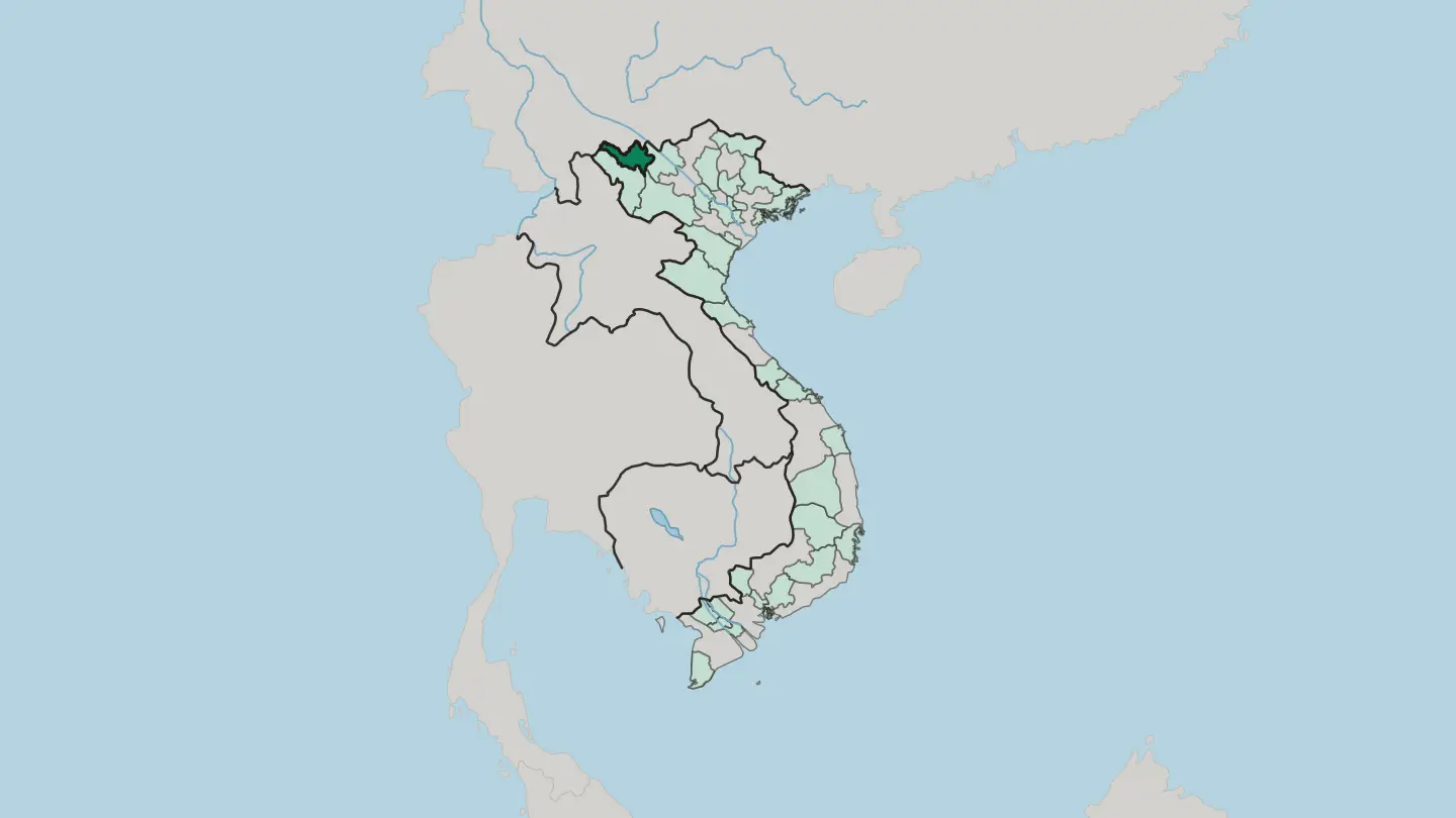
 Vietnam
Tỉnh Lạng Sơn
Lạng Sơn is a limestone border province in northeastern Vietnam, its Friendship Pass the main overland gate between Hanoi and China.Towns & cities →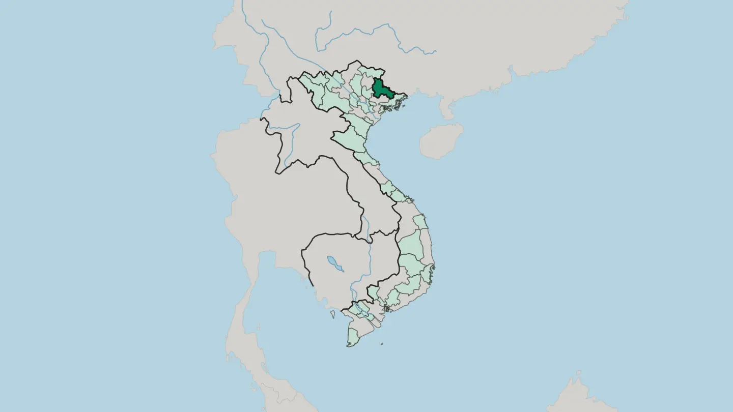 Vietnam
Tỉnh Nghệ An
Nghệ An is one of Vietnam's largest provinces, reaching from the Gulf of Tonkin west to the mountains of Laos and centred on the city of Vinh.Towns & cities →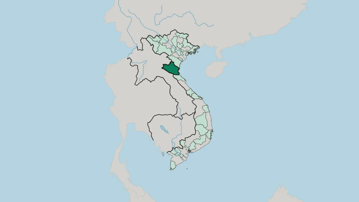
 Vietnam
Tỉnh Quảng Ninh
Quảng Ninh is Vietnam's coal-rich northeastern province, where the limestone towers of Hạ Long Bay rise from the Gulf of Tonkin near the China border.Towns & cities →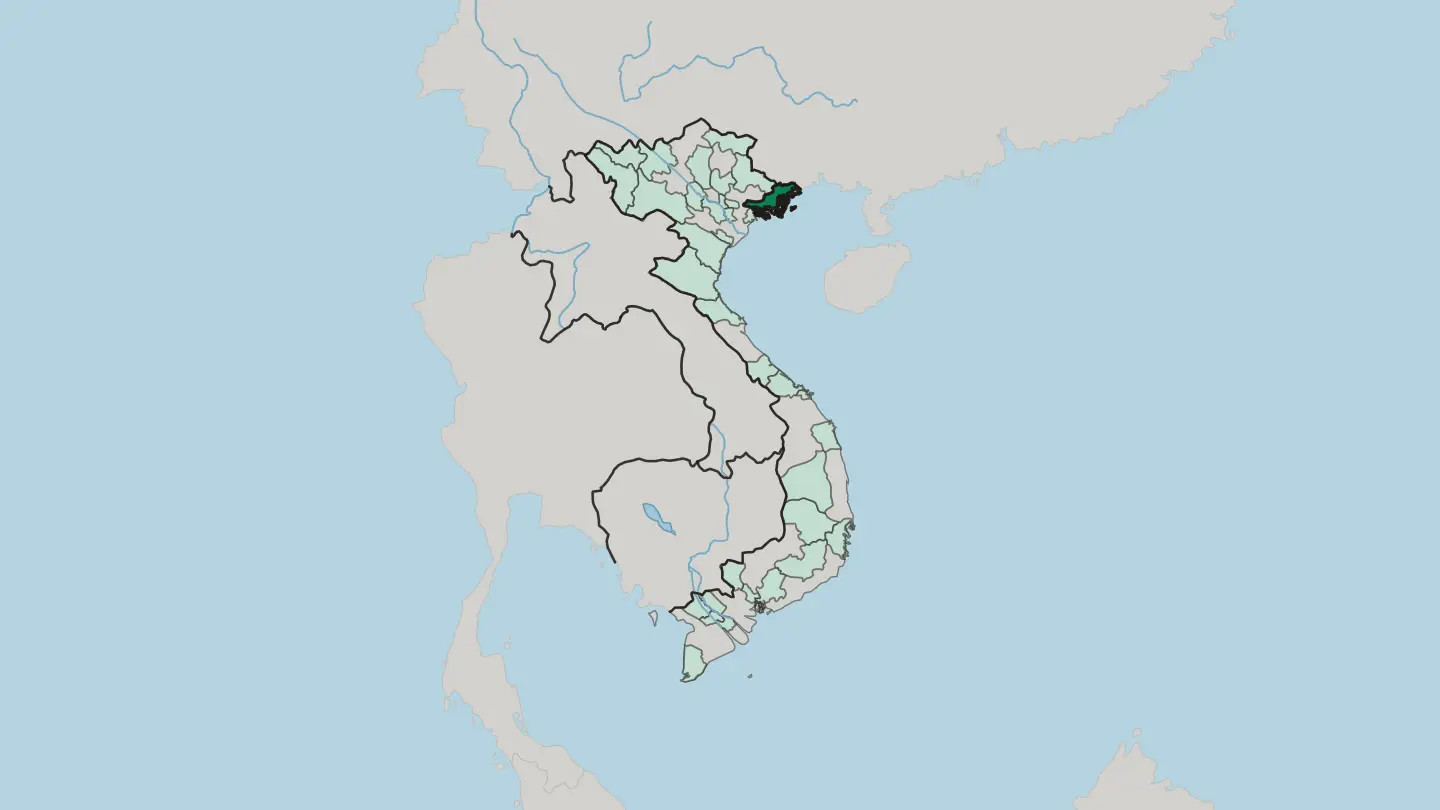
 Vietnam
Tỉnh Sơn La
Sơn La is a mountainous province of northwestern Vietnam, where the Đà River is dammed to power Southeast Asia's largest hydroelectric station.Towns & cities →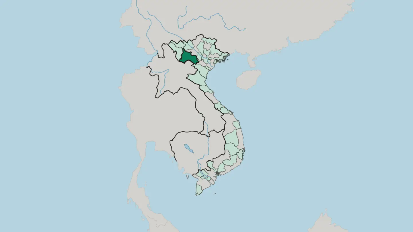 Vietnam
Tỉnh Thanh Hóa
Thanh Hóa is the northernmost province of Vietnam's north-central coast, where the Mã River spills past Sầm Sơn into the Gulf of Tonkin.Towns & cities →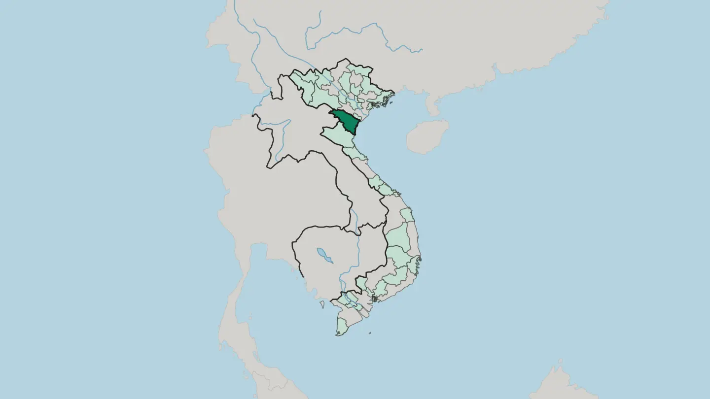 Vietnam
Tỉnh Điện Biên
Điện Biên anchors Vietnam's far-northwest frontier. Its Mường Thanh valley holds the 1954 Điện Biên Phủ battlefield beside the border with Laos.Towns & cities →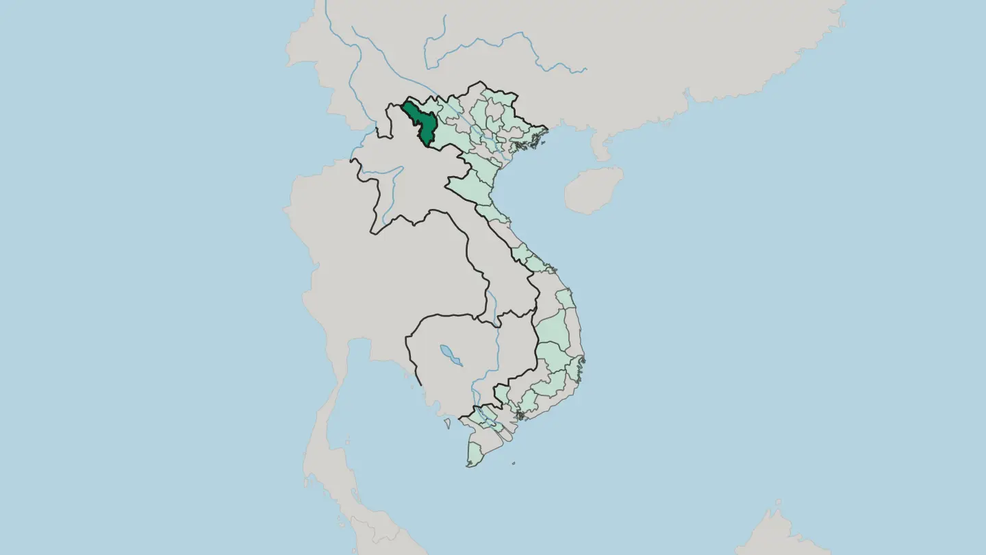
 Vietnam
Vinh Long
Vĩnh Long sits at the heart of the Mekong Delta, a land of orchards and brick kilns strung between the Tiền and Hậu rivers.Towns & cities →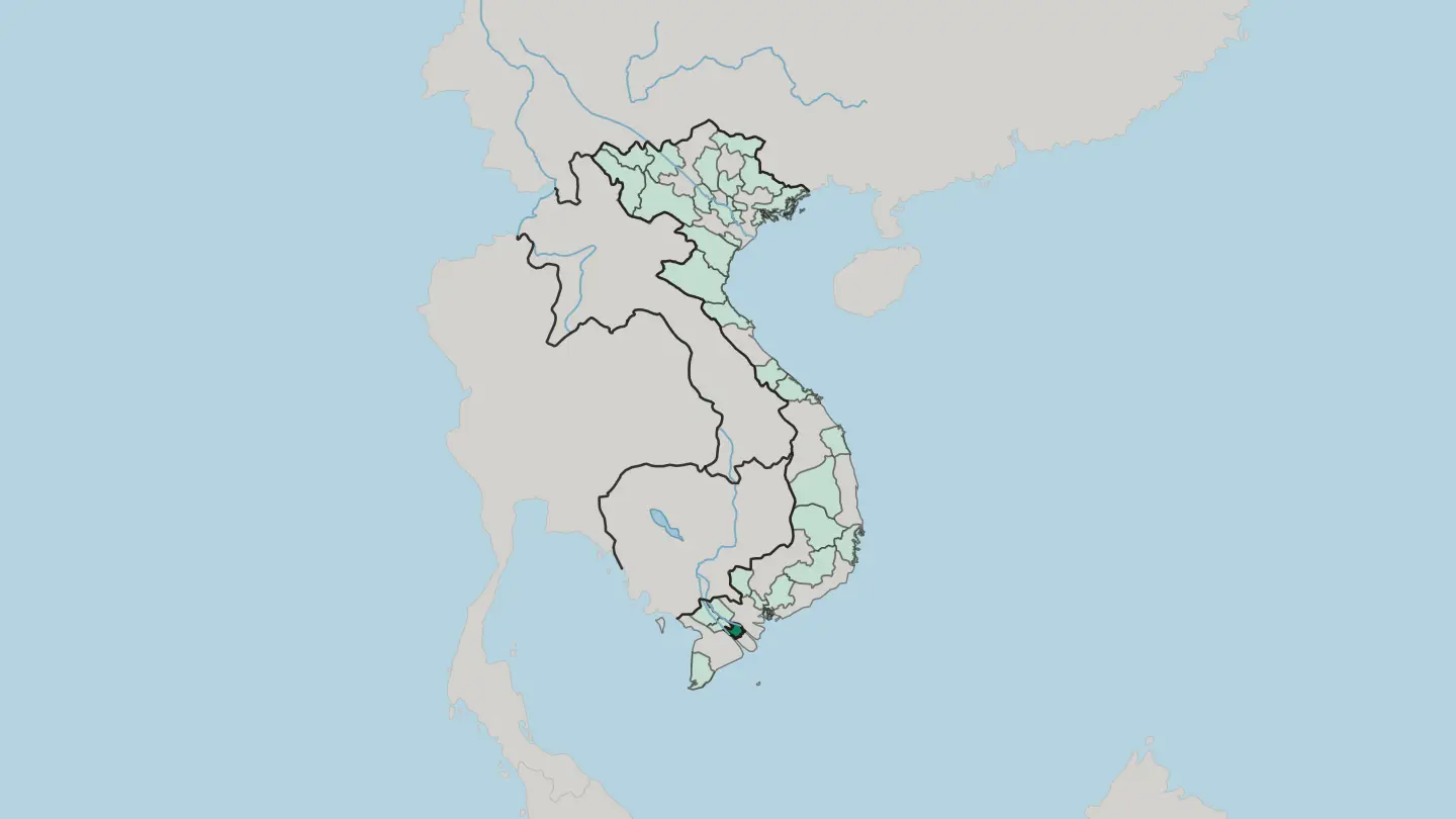
Explore by experience
Not sure which place? Start from how you want to travel.






About Vietnam
What is Vietnam known for?
Vietnam draws travellers with its food, its coastline, and a wealth of natural and cultural attractions. Hanoi, the capital, anchors the north; Ho Chi Minh City, the largest city, anchors the south. Its long shore faces the South China Sea.
Between the two cities lies a country that has come a long way from the turmoil of the Vietnam War through decades of steady recovery. The cooking alone rewards the trip.
Where is Vietnam?
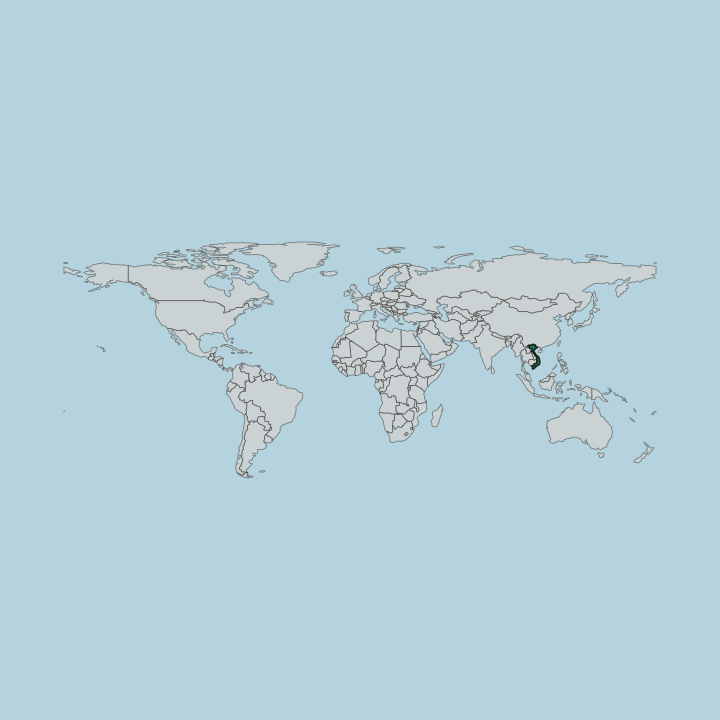
Vietnam sits at the eastern edge of Mainland Southeast Asia, a country shaped as much by its borders as by its long coast. China lies along the north. Laos and Cambodia run down the western frontier, so the interior faces the rest of Southeast Asia while the shore looks out to open water.
The eastern coast follows the South China Sea for its full length. Further round, the Gulf of Thailand reaches the country's south-western side, near the far south around Ho Chi Minh City. The two great cities sit at opposite ends of this stretch.
Hanoi commands the north as the capital, while Ho Chi Minh City spreads across the south as the largest city, and the ground between them runs a very long way. That length is the country's defining trait. A journey down Vietnam is a journey along the sea, from the northern border with China toward the waters of the Gulf of Thailand, tracing a shore that rarely leaves the traveller's side.
Coast and frontier order almost everything here.
What is the history of Vietnam?
Vietnam's modern shape dates to 1976, when the Socialist Republic of Vietnam was formed and the country came together as a single state. That founding closed a long and turbulent period. The decades before it were marked by the upheaval of the Vietnam War, whose turmoil reached across the whole country and left deep marks on both the north around Hanoi and the south around Ho Chi Minh City.
What followed was a slow rebuilding. From the 1990s onward the country steadied and reopened, and a long stretch of economic change reshaped daily life across Vietnam. The two great cities carried much of that shift.
Hanoi kept its place as the capital and the seat of national life, while Ho Chi Minh City grew into the largest city and the busiest hub of trade. The wider world returned as well, and travellers began to find their way back to a land of food and natural and cultural attractions long overshadowed by the war years. From a divided past to a single republic, the thread is one of recovery.
What is Vietnam like?
Food sits at the centre of Vietnamese life, and the country's cooking is one of the first things travellers remember. Meals are a daily ritual. Across Vietnam the table draws on the produce of the coast and the interior alike, and the results shift from the north around Hanoi to the south around Ho Chi Minh City, so that the same country can taste noticeably different from one end to the other.
Culture here also carries the weight of the country's setting. Vietnam has long stood among its neighbours on the mainland of Southeast Asia, sharing frontiers with China, Laos, and Cambodia. The two cities anchor the cultural map.
Hanoi, the capital, keeps the older civic life of the north, while Ho Chi Minh City sets the faster, more commercial tone of the south, and between them stretches a wealth of natural and cultural attractions that runs from the shore to the hills. The war years left their mark here as well, and the memory of the Vietnam War still runs through the country's art, its museums, and its public life. One nation, many local worlds.
What is the climate of Vietnam?
Vietnam sits in the tropics, and warmth is the constant across most of the year. Its climate is broadly tropical, shaped by the sea along the whole eastern coast and by the wet and dry turns of the tropical year. The country's length tells, though.
Because the land runs so far between Hanoi in the north and Ho Chi Minh City in the south, the weather is not the same from one end to the other, and a single journey can pass through more than one kind of season. Heat and rain set the rhythm.
How do you get to Vietnam?
Most visitors arrive through Vietnam's two big cities. Hanoi is the main way in for the north, while Ho Chi Minh City handles the bulk of arrivals in the south, so the point of entry usually depends on which end of the country the trip begins. The distances are long.
Since the country stretches so far from top to bottom, crossing between the two usually means a flight or a long overland leg rather than a quick hop, and many journeys follow the coast along the South China Sea. Enter at one end, leave from the other.
Updated September 2026