Indonesia: Regions, Cities & Travel Guide
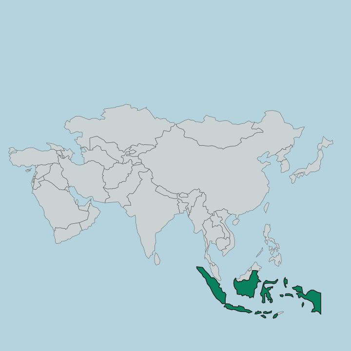
Rainforests and warm seas ring Indonesia, an archipelago of over 17,000 islands astride the Equator, from Sumatra to New Guinea.
Hotel links are affiliate links: booking through them may earn us a commission, at no extra cost to you. It never affects how places are ranked. How this works


Top destinations in Indonesia
Cities to start from, then drill into areas and hotels.
 Indonesia
Jakarta
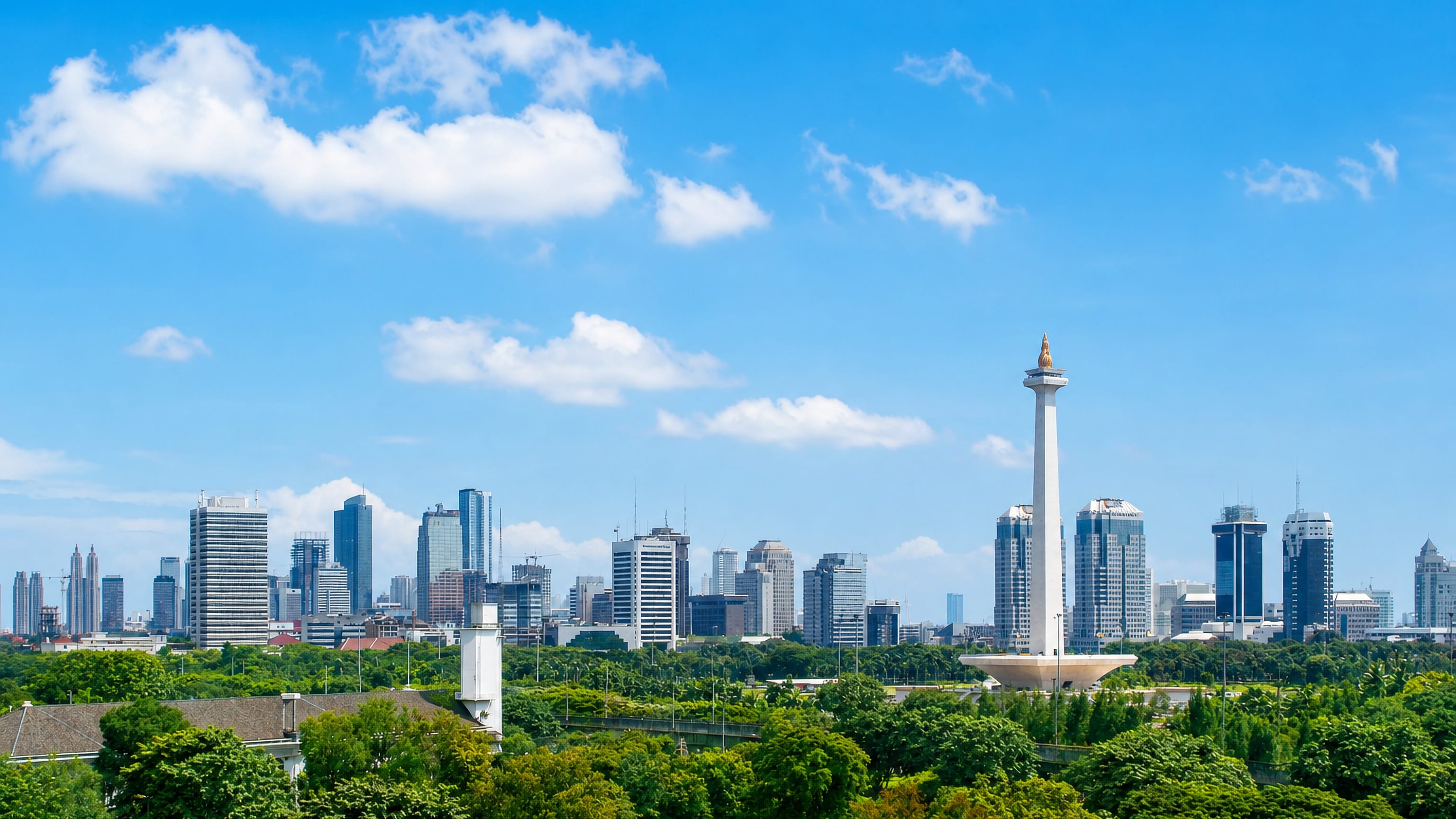
Jakarta stands on the northwest coast of Java, capital of Indonesia, its centre marked by the tower of the National Monument of Indonesia.Where to stay →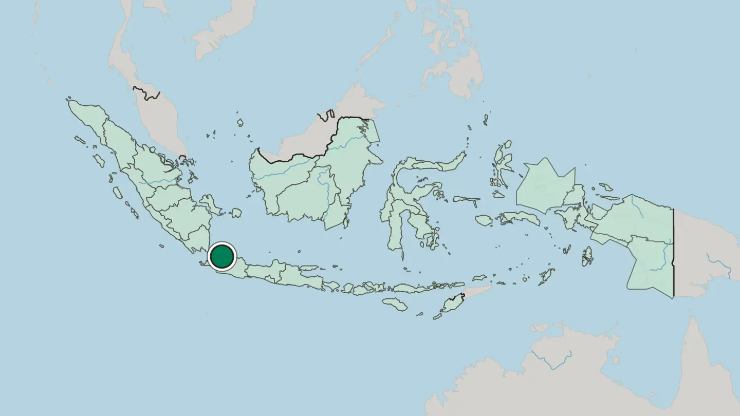
 Indonesia
Surabaya
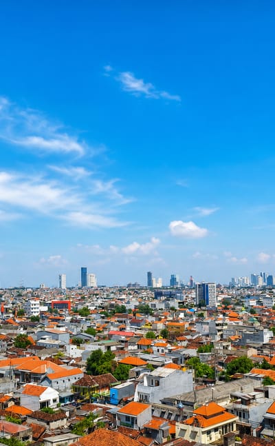
The Madura Strait washes the port at Surabaya, capital of East Java and the second-largest city in Indonesia, known for the Heroes Monument.Where to stay →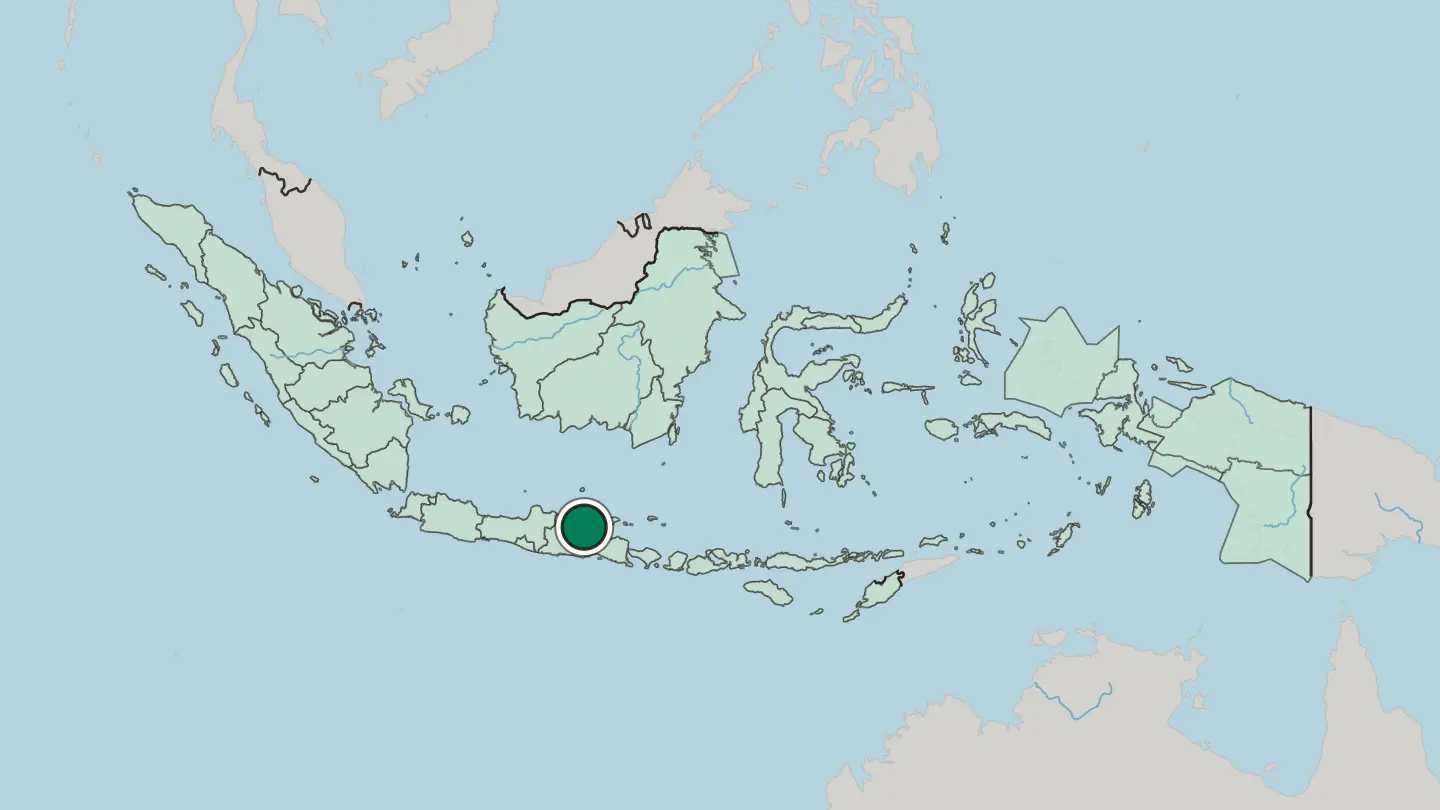
 Indonesia
Bandung
Bandung sits in a volcanic basin above the Java coast, the capital of West Java, known for Jalan Braga, Gedung Sate and the Asian-African Conference.Where to stay →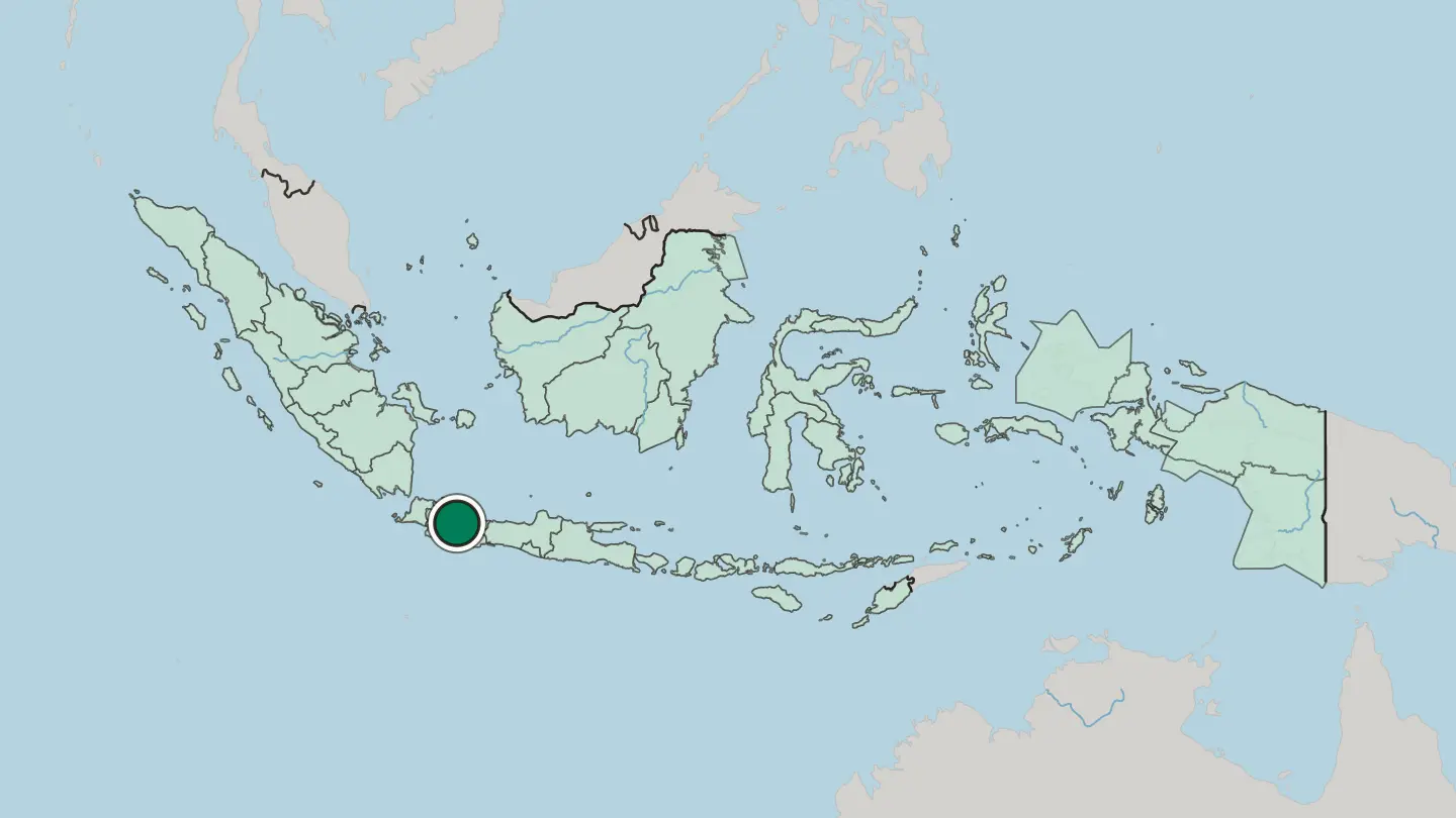 Indonesia
Yogyakarta
The Tugu Yogyakarta rises over Yogyakarta, a royal city on the plain of south-central Java, known for its sultan's court and for batik.Where to stay →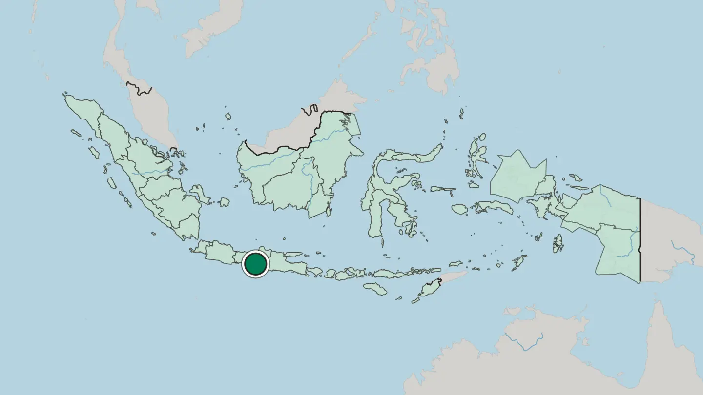
 Indonesia
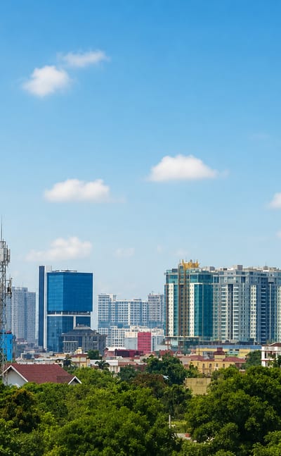
Medan
The Strait of Malacca laps the north coast of Sumatra at Medan, capital of North Sumatra, known for the Tjong A Fie Mansion and Lake Toba beyond.Where to stay →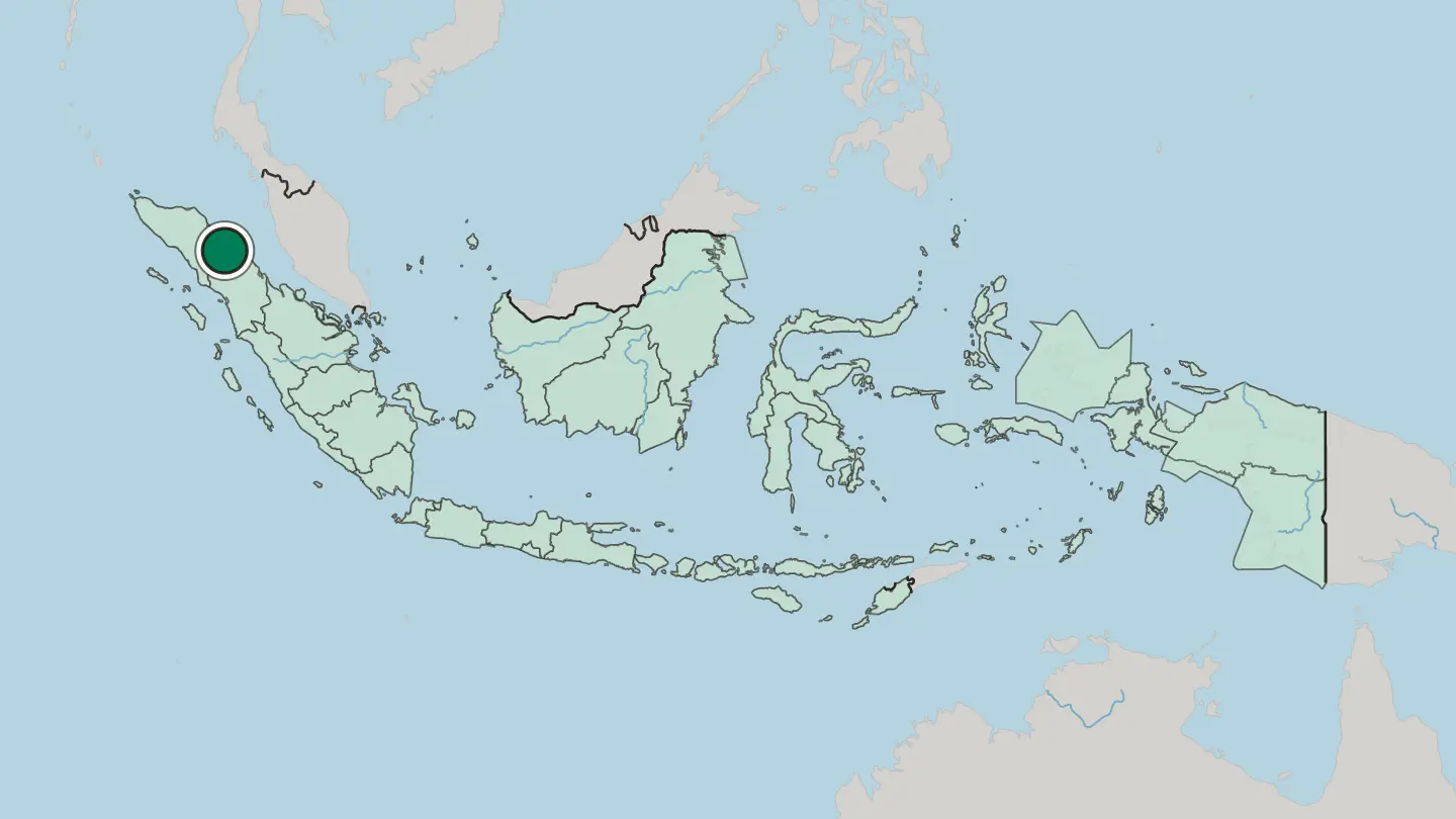
 Indonesia
Batam
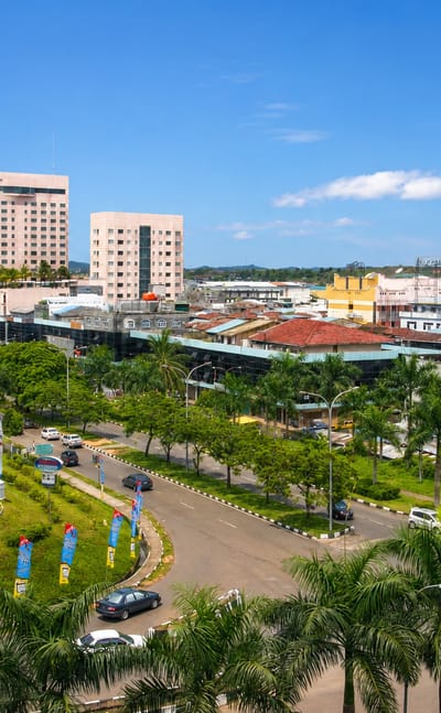
A short ferry from Singapore reaches Batam, largest city of the Riau Islands, an Indonesian island of harbours, factories, and the Raja Haji Ali Museum.Where to stay →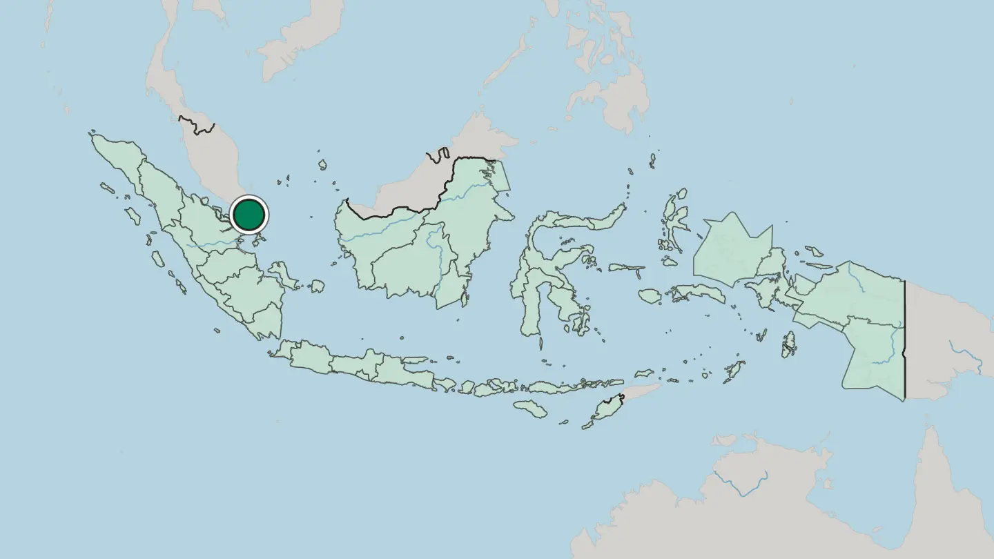
 Indonesia
Makassar
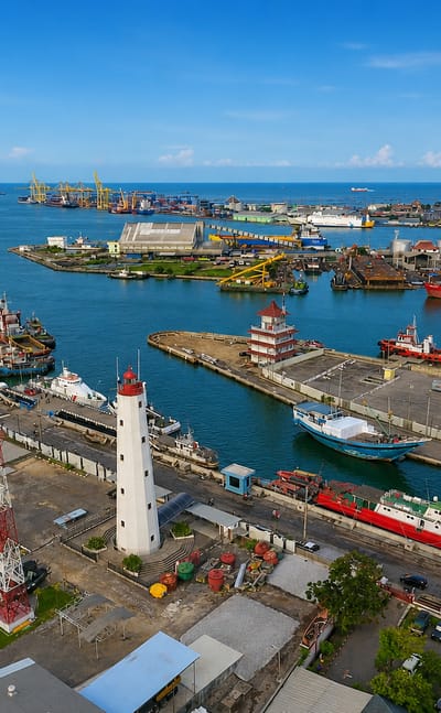
Makassar is the capital of South Sulawesi, a port city on the Makassar Strait that has worked the island's southwest coast since 1607.Where to stay →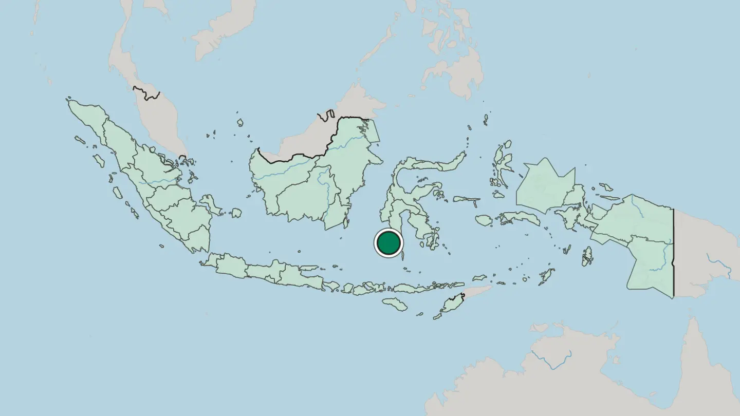
 Indonesia
Semarang
The dome of Blenduk Church rises over the old port at Semarang, capital of Central Java, known for its Dutch colonial quarter and the Tugu Muda.Where to stay →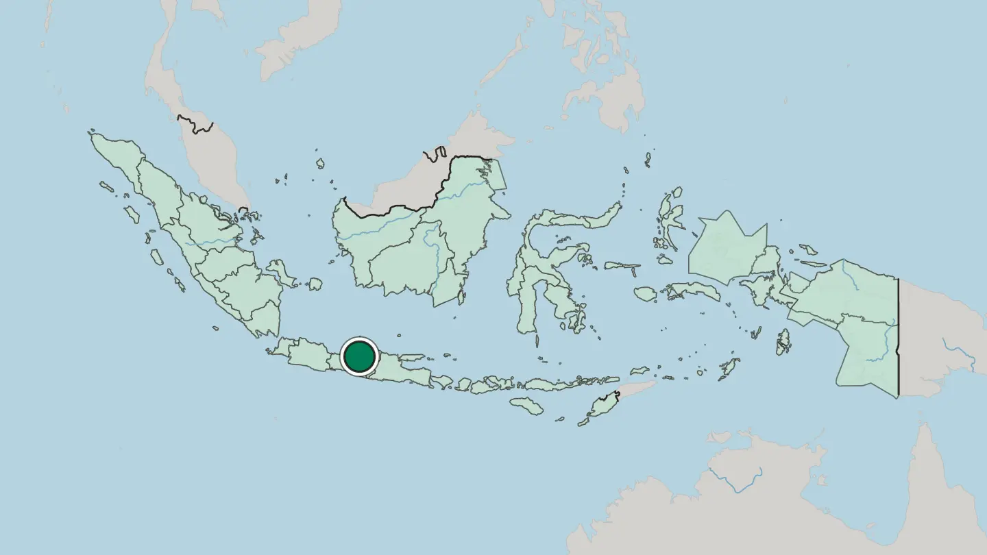
 Indonesia
Denpasar
Denpasar is the capital and largest city of Bali, in the Lesser Sunda Islands of Indonesia, known for the Bali Museum and Bajra Sandhi Monument.Where to stay →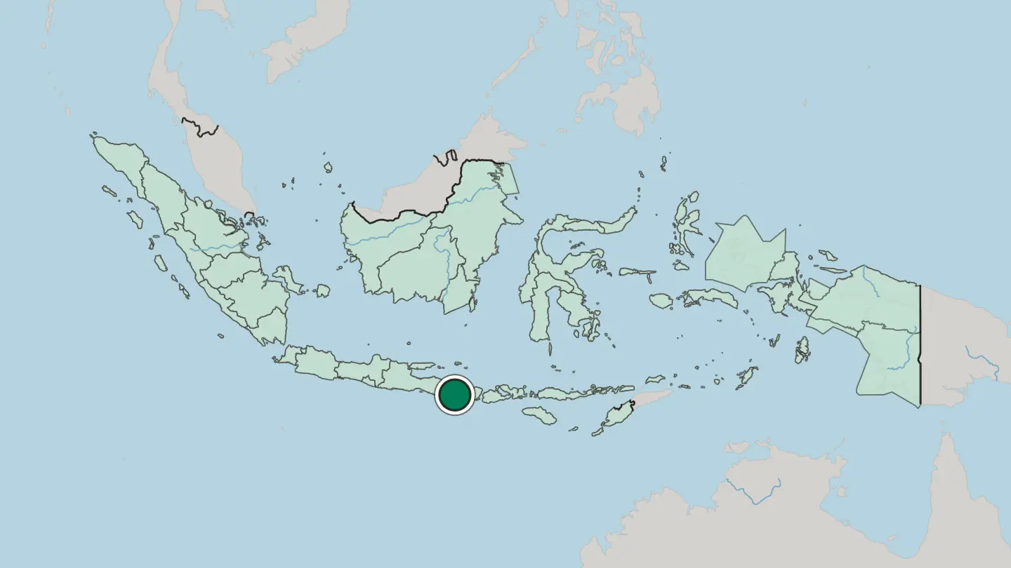
Hotel links are affiliate links: booking through them may earn us a commission, at no extra cost to you. It never affects how places are ranked. How this works
Regions of Indonesia
 Indonesia
Banten
Banten is the westernmost province of Java in Indonesia, edged by the Sunda Strait and Krakatoa, with Tangerang fronting Jakarta.Towns & cities →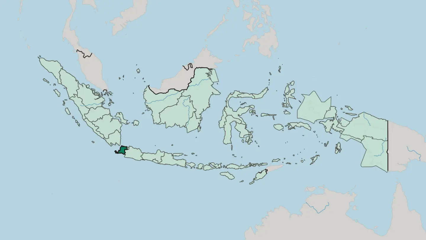 Indonesia
Central Papua
Central Papua is a province of Indonesia in the central highlands of New Guinea, holding Puncak Jaya, the island's highest peak.Towns & cities →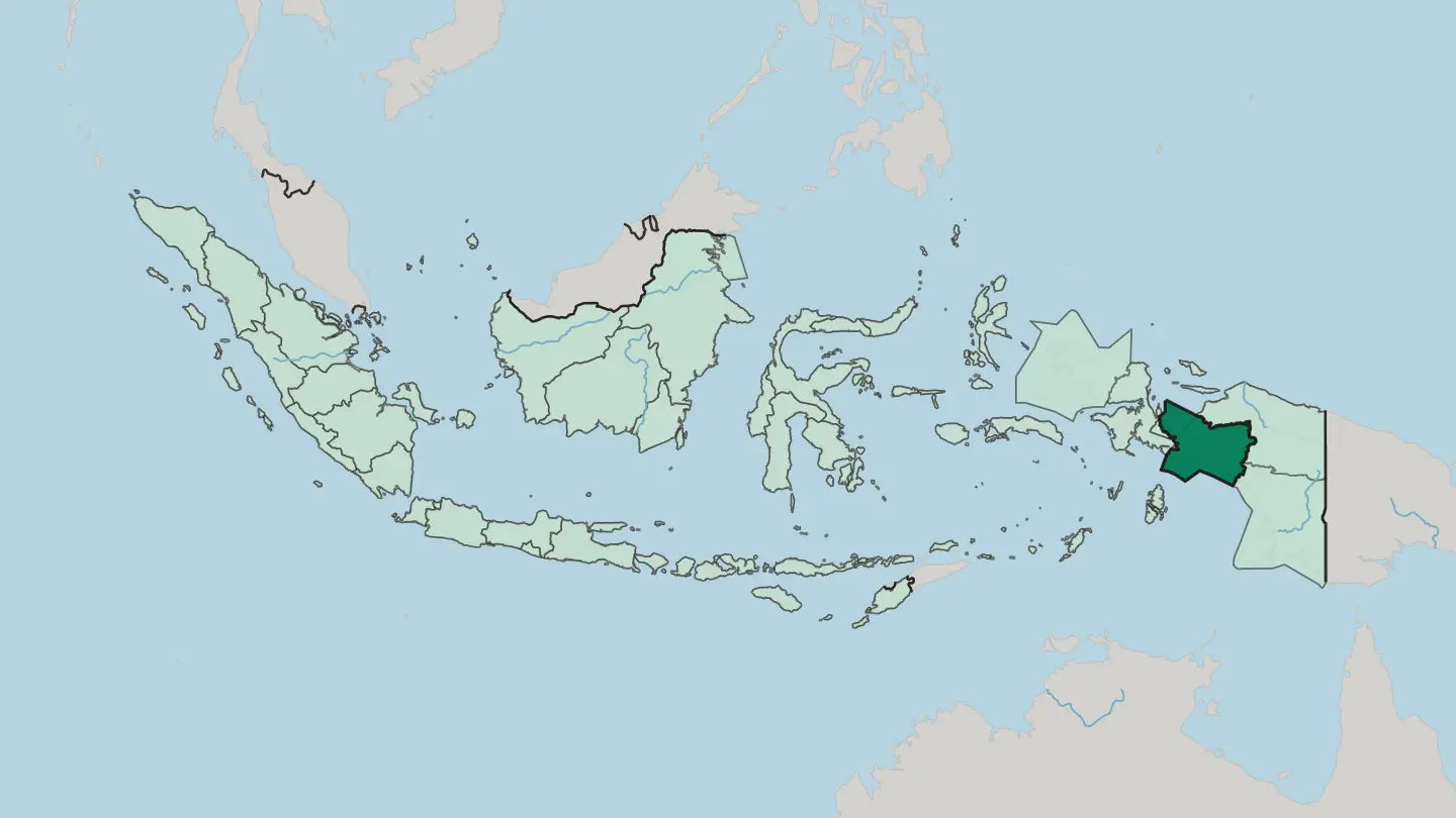 Indonesia
Daerah Istimewa Yogyakarta
Daerah Istimewa Yogyakarta is a special province on Java's south coast, still ruled by the Sultan of Yogyakarta from his Kraton below Mount Merapi.Towns & cities →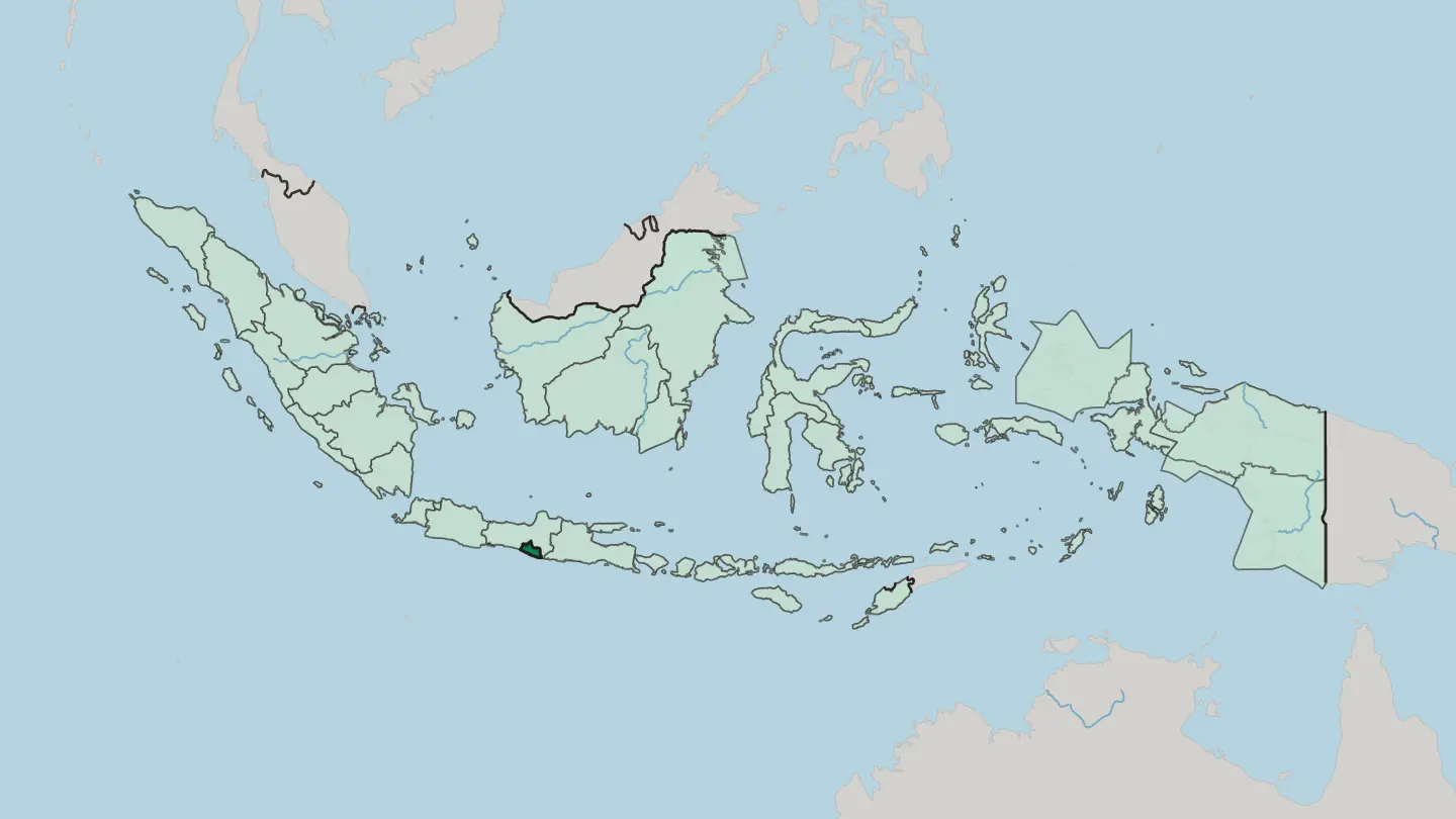 Indonesia
Daerah Khusus Ibukota Jakarta
Daerah Khusus Ibukota Jakarta is Indonesia's capital region, a province on the northwest coast of Java by the Java Sea.Towns & cities →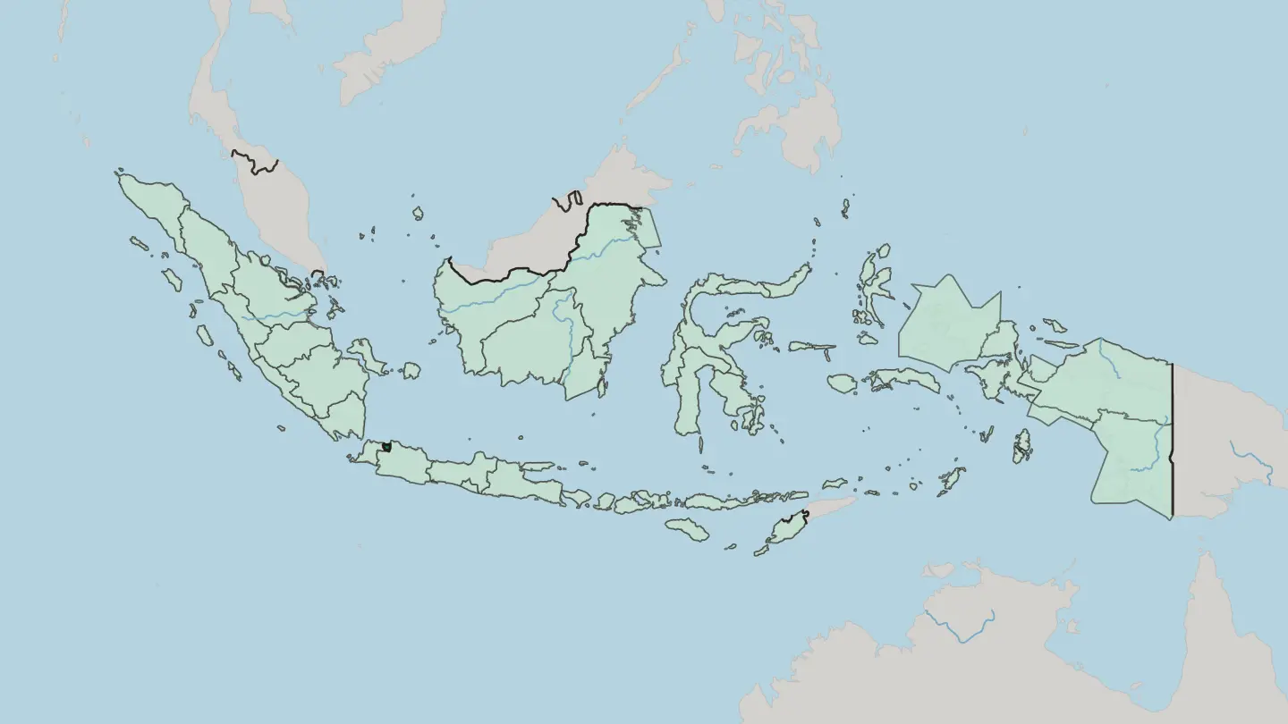
 Indonesia
East Nusa Tenggara
East Nusa Tenggara is Indonesia's southernmost province, a dry arc of islands running from Flores and Sumba to the western half of Timor.Towns & cities →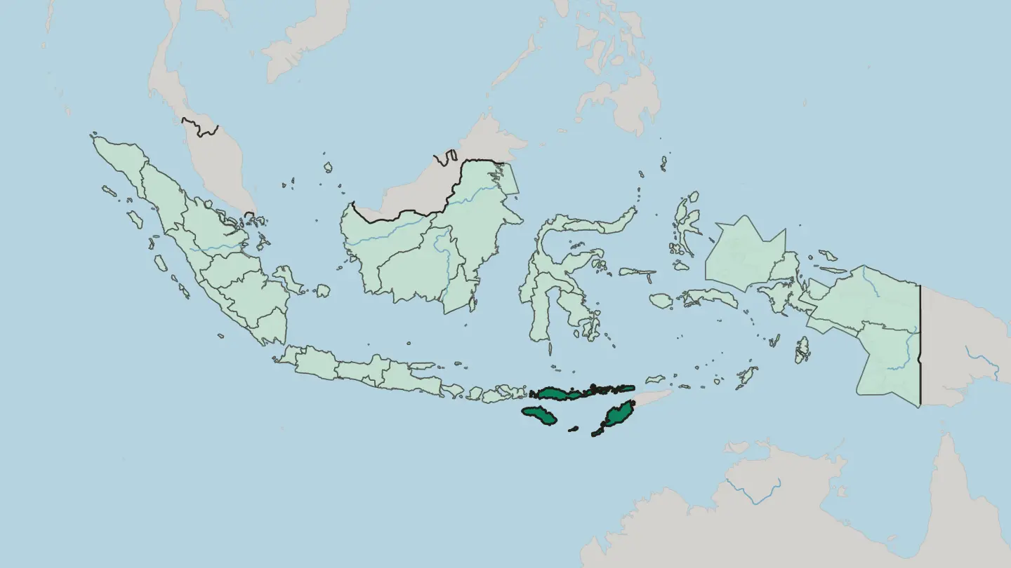 Indonesia
Highland Papua
Highland Papua is Indonesia's only landlocked province, high in the Baliem Valley among the peaks of New Guinea.Towns & cities →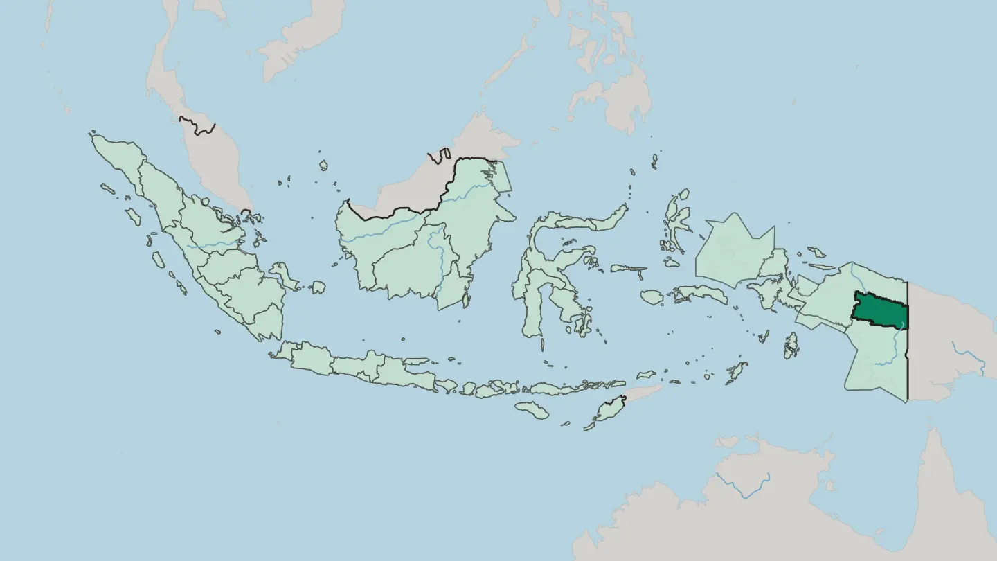 Indonesia
Jawa Barat
Jawa Barat is the Sundanese heartland of western Java, a volcano-ringed Indonesian province centred on its cool highland capital, Bandung.Towns & cities →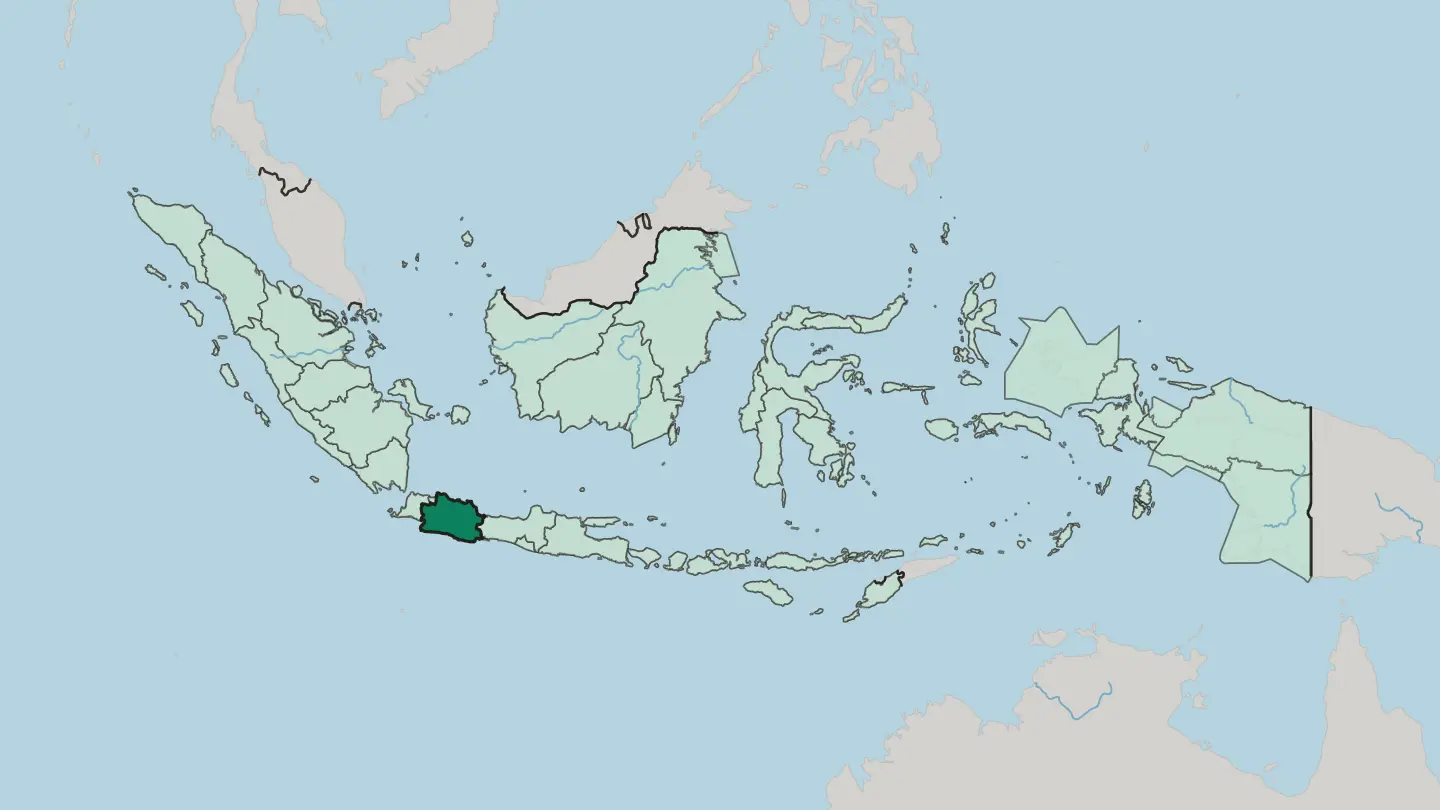 Indonesia
Jawa Timur
Jawa Timur is Java's volcanic eastern end, Mount Bromo and Semeru, the port of Surabaya, and the ruined Majapahit capital at Trowulan.Towns & cities →
 Indonesia
Kepulauan Bangka Belitung
Kepulauan Bangka Belitung is an Indonesian tin-mining island province off Sumatra, its white-sand beaches strewn with giant granite boulders.Towns & cities →
 Indonesia
Nanggroe Aceh Darussalam Province
Aceh fills the northern tip of Sumatra, Indonesia's westernmost province, edged by the Indian Ocean and ruled under Islamic law.Towns & cities →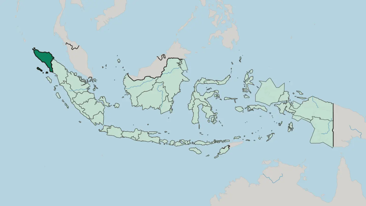
 Indonesia
North Kalimantan
North Kalimantan, carved from East Kalimantan in 2012, sits on the northern tip of Borneo where the Kayan River empties into the Celebes Sea.Towns & cities →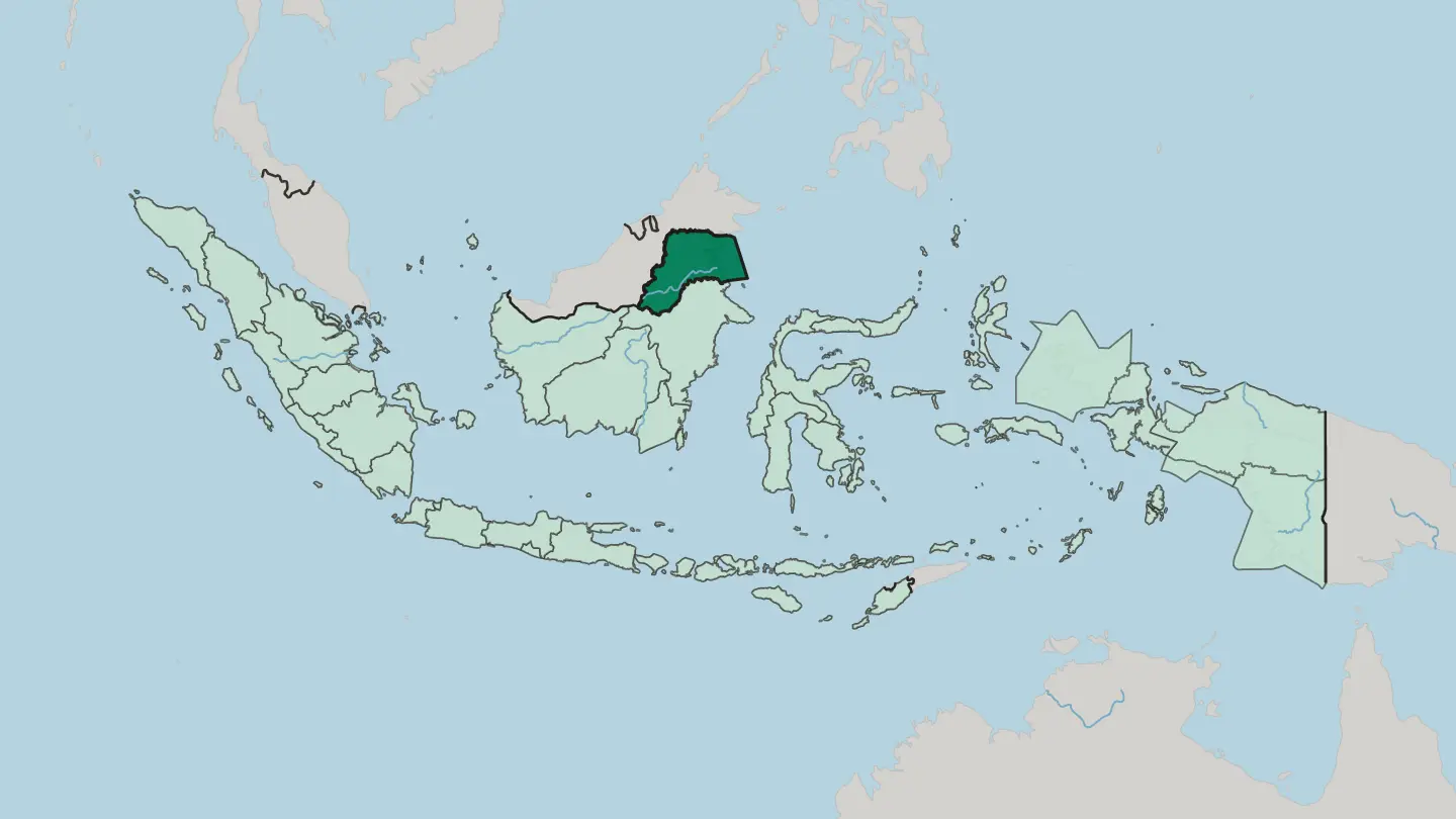 Indonesia
North Maluku
North Maluku is the northern half of Indonesia's Maluku Islands, the original Spice Islands, built around Halmahera, Ternate and Tidore.Towns & cities →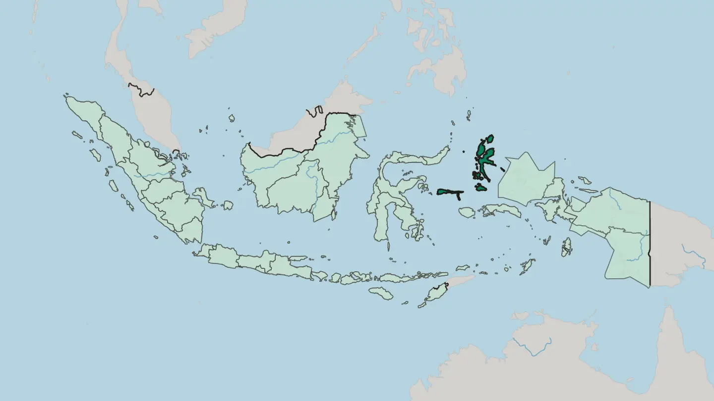 Indonesia
North Sumatra
North Sumatra spans the island's north, from Medan and the Strait of Malacca across the Batak highlands to Lake Toba and Nias.Towns & cities →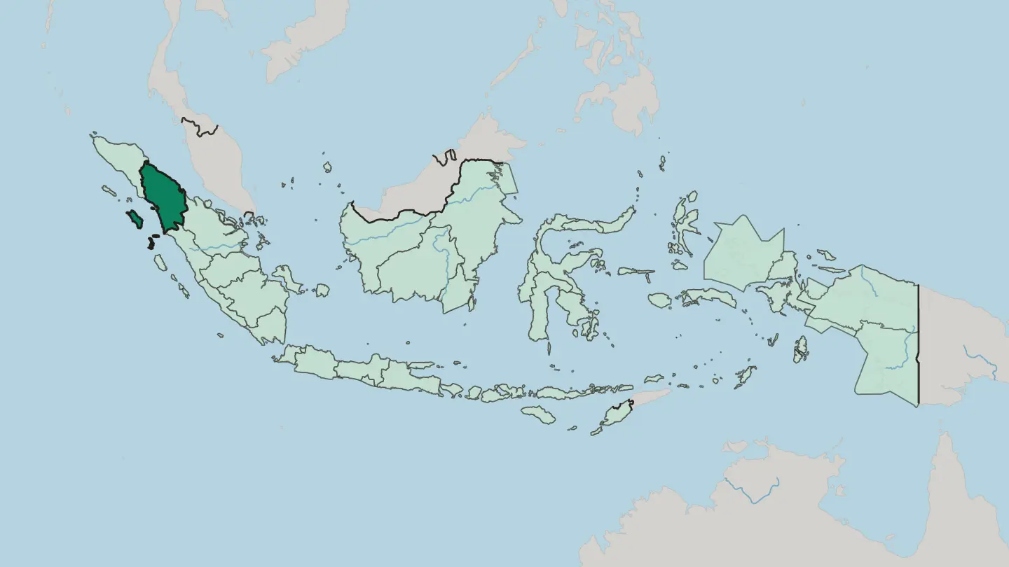
 Indonesia
Propinsi Bengkulu
Bengkulu lines Sumatra's southwest coast on the Indian Ocean, the old British pepper port of Bencoolen and land of the giant Rafflesia flower.Towns & cities →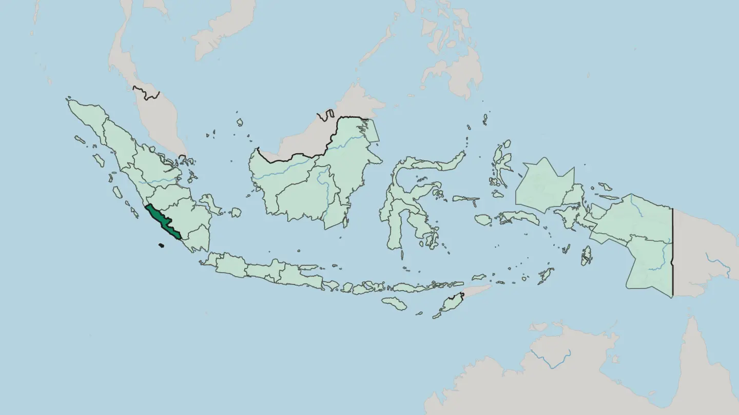 Indonesia
Provinsi Bali
Bali is Indonesia's Hindu island province in the Lesser Sunda Islands, east of Java, with Denpasar its capital and upland Ubud its cultural centre.Towns & cities →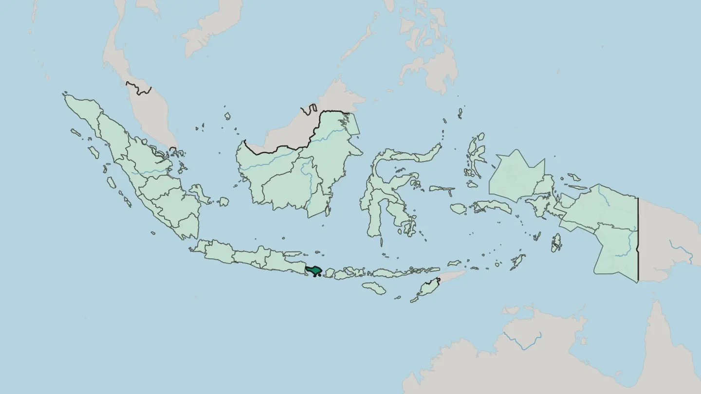
 Indonesia
Provinsi Gorontalo
Provinsi Gorontalo fills the middle of Sulawesi's northern arm, between the Celebes Sea and the Gulf of Tomini in Indonesia.Towns & cities →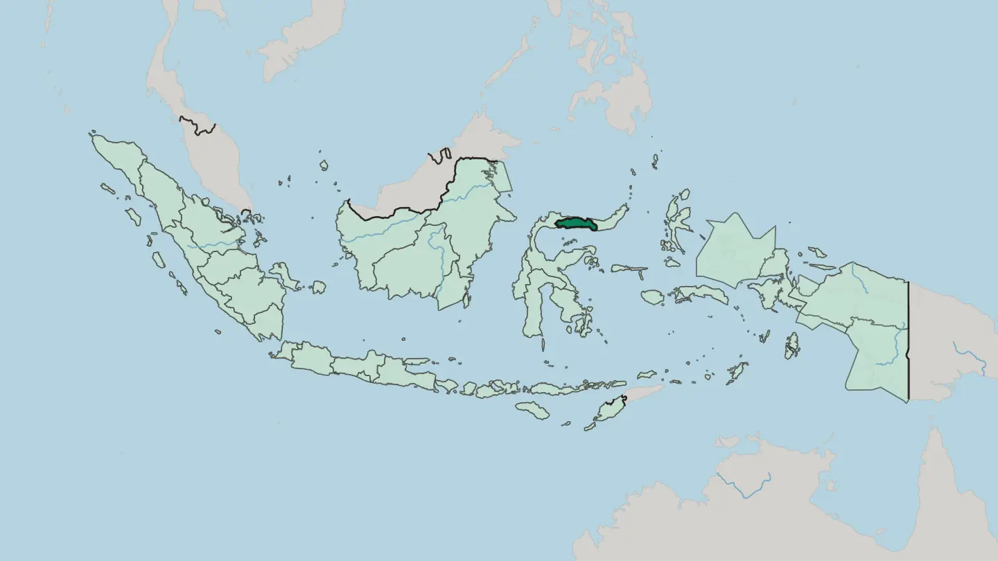 Indonesia
Provinsi Jambi
Jambi is a province of central Sumatra, stretched from the Batang Hari river to Mount Kerinci, the highest active volcano in Southeast Asia.Towns & cities →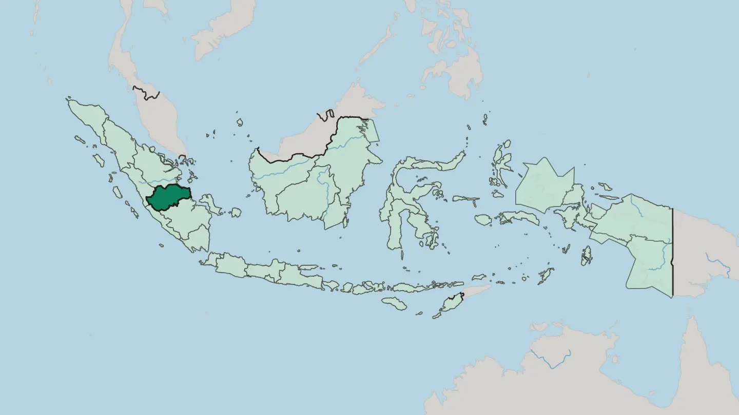 Indonesia
Provinsi Jawa Tengah
Central Java, or Provinsi Jawa Tengah, fills the middle of Java, holding Borobudur, the port of Semarang, and the court city of Surakarta.Towns & cities →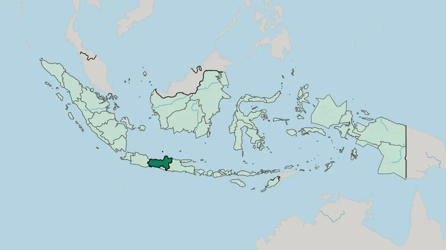
 Indonesia
Provinsi Kalimantan Barat
West Kalimantan is Indonesia's stretch of western Borneo, where the equator crosses the Kapuas River delta at the port city of Pontianak.Towns & cities →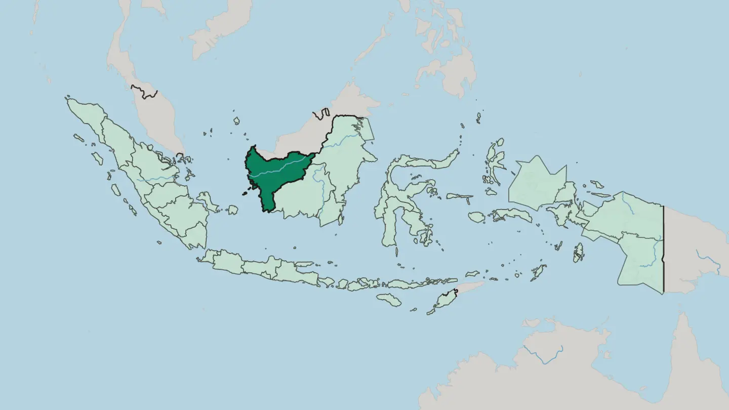
 Indonesia
Provinsi Kalimantan Selatan
South Kalimantan is Indonesia's smallest Borneo province, a delta of rivers and floating markets below the forested Meratus Mountains.Towns & cities →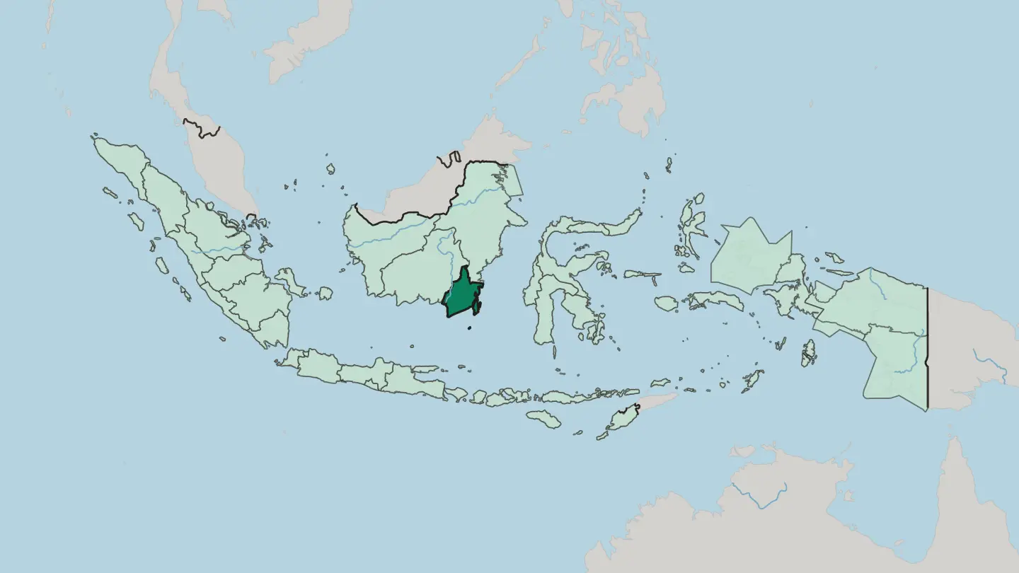
 Indonesia
Provinsi Kalimantan Tengah
Central Kalimantan is Indonesia's largest province by area, a sweep of rivers and peat-swamp rainforest across the south of Borneo.Towns & cities →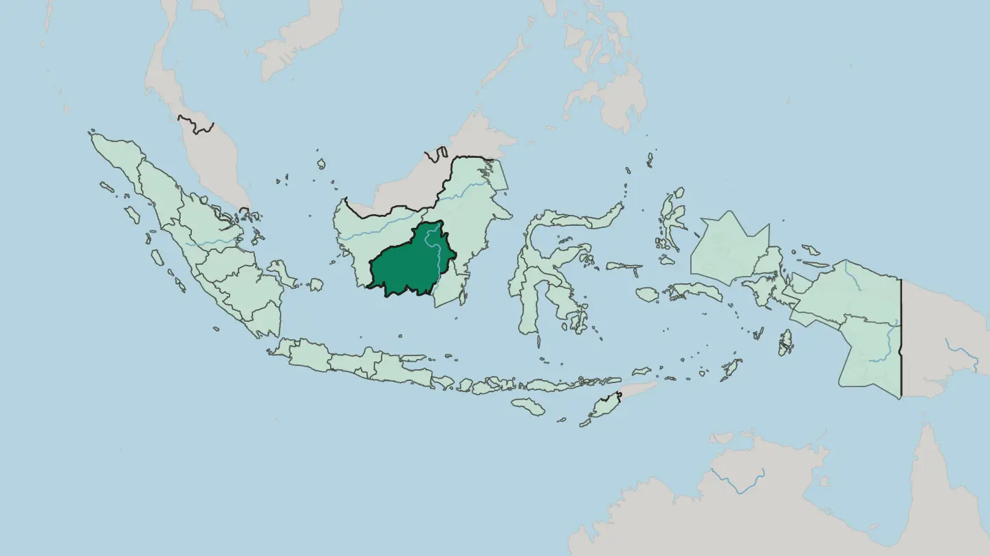
 Indonesia
Provinsi Kalimantan Timur
Provinsi Kalimantan Timur lines the east coast of Borneo, drained by the Mahakam River and the site of Indonesia's new capital, Nusantara.Towns & cities →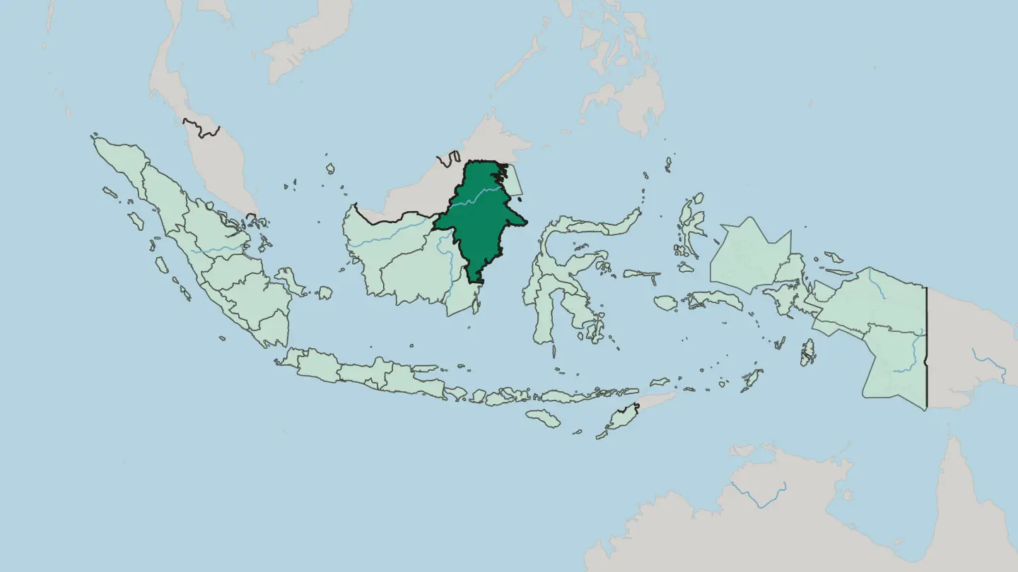 Indonesia
Provinsi Kepulauan Riau
Kepulauan Riau scatters roughly 2,400 islands south of Singapore, a Malay heartland facing the South China Sea and the Strait of Malacca.Towns & cities →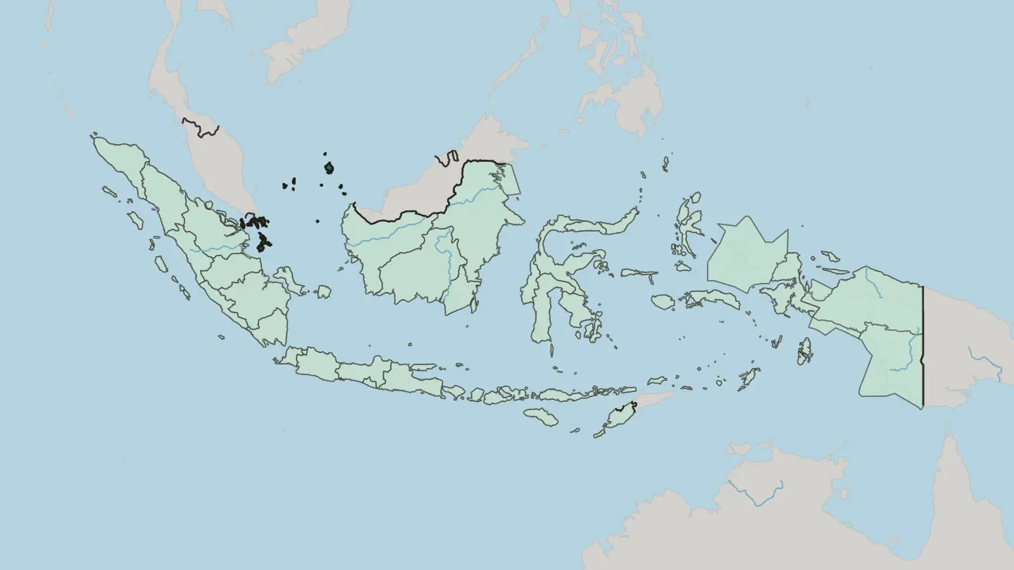
 Indonesia
Provinsi Lampung
Lampung fills the southern tip of Sumatra, where ferries from Java dock and wild elephants still roam the rainforest at Way Kambas.Towns & cities →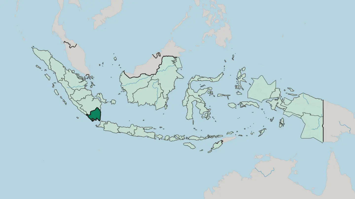
 Indonesia
Provinsi Maluku
Maluku is Indonesia's original Spice Islands, an archipelago of more than 600 islands scattered across the Banda Sea, its capital at Ambon.Towns & cities →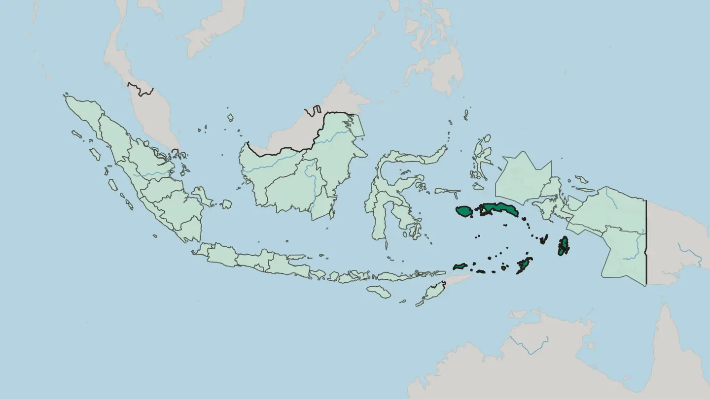
 Indonesia
Provinsi Papua
Papua is the northeasternmost province of Indonesia, on the north coast of New Guinea, with its capital at Jayapura by the Pacific.Towns & cities →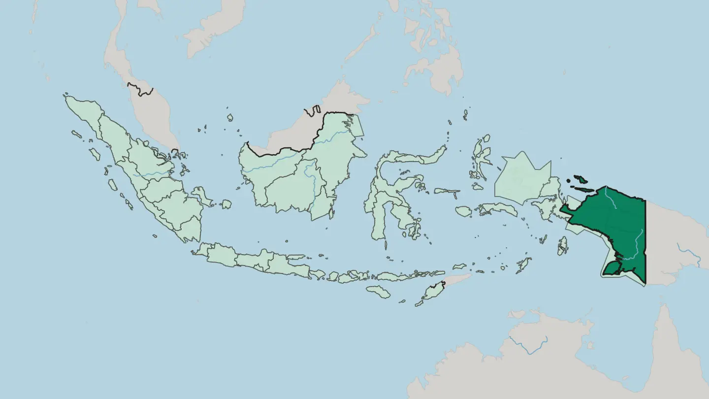 Indonesia
Provinsi Papua Barat
Provinsi Papua Barat covers the Bird's Head and Bomberai peninsulas in far-eastern Indonesia, rainforest and reef around the capital Manokwari.Towns & cities →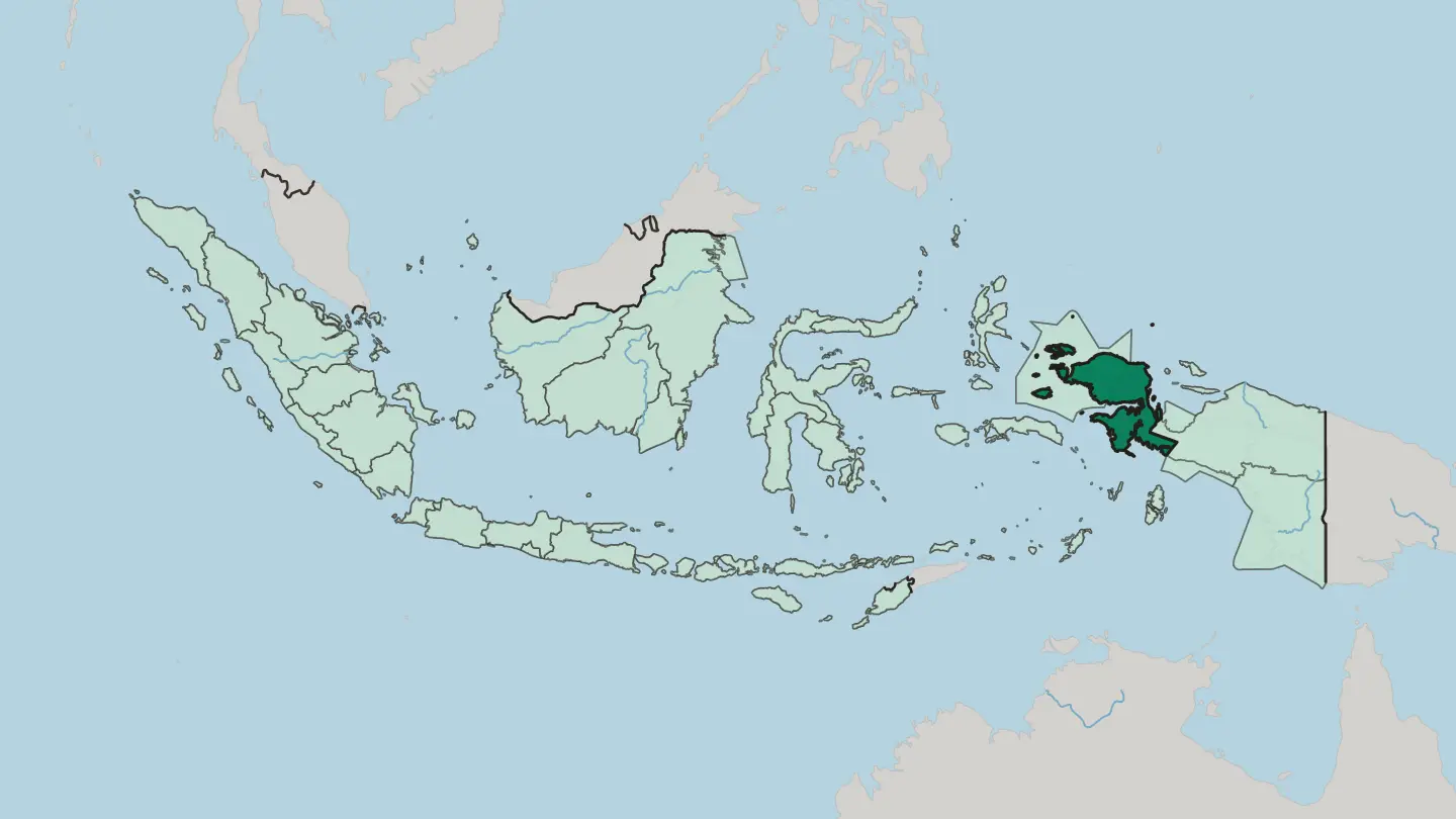 Indonesia
Provinsi Riau
Riau is a province on the central eastern coast of Sumatra, its four great rivers running from the Barisan Mountains to the Strait of Malacca.Towns & cities →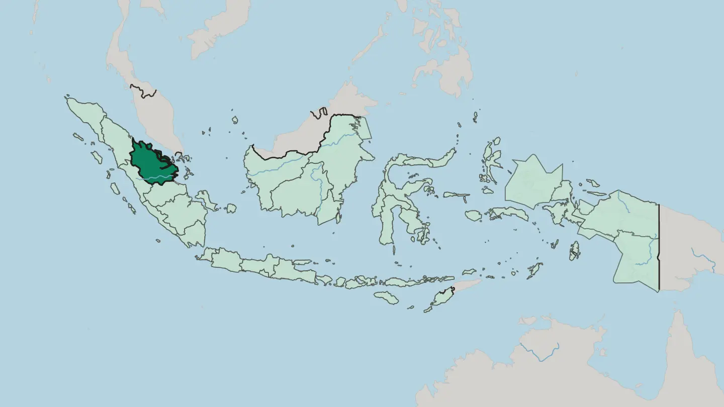 Indonesia
Provinsi Sulawesi Barat
West Sulawesi is a young Indonesian province on the Makassar Strait, its coast the seafaring homeland of the Mandar people.Towns & cities →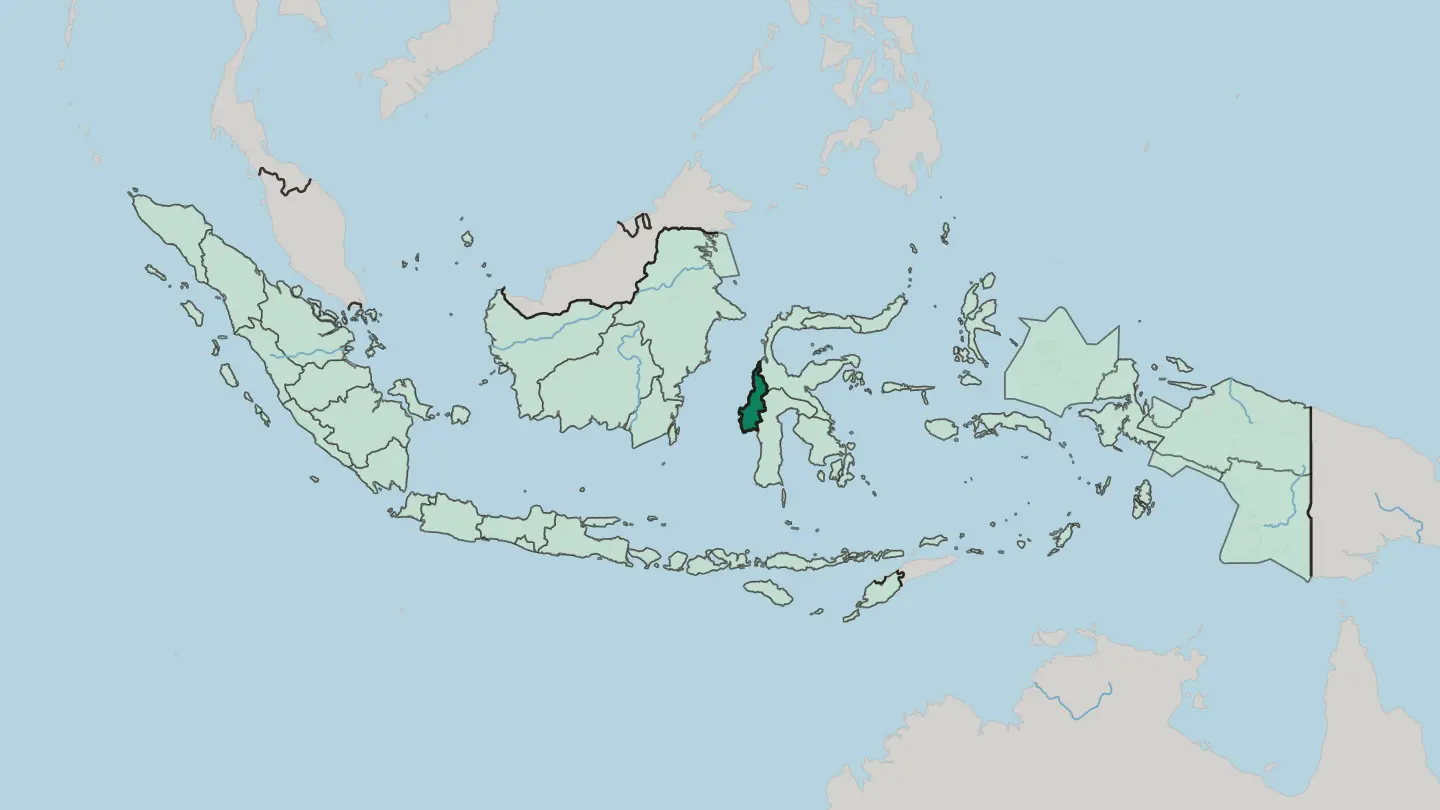 Indonesia
Provinsi Sulawesi Selatan
Provinsi Sulawesi Selatan fills the south-western arm of Sulawesi, a land of Bugis seafarers, the Toraja highlands and the port of Makassar.Towns & cities →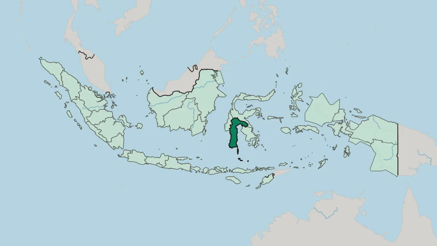
 Indonesia
Provinsi Sumatera Barat
Provinsi Sumatera Barat is the Minangkabau homeland on Sumatra's west coast, a land of volcanoes, caldera lakes and the port of Padang.Towns & cities →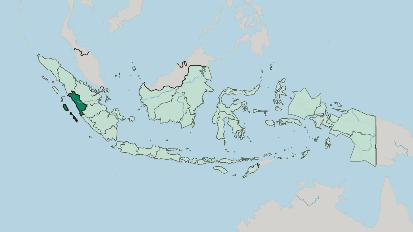 Indonesia
South Papua
South Papua is one of Indonesia's newest provinces, a wilderness of swamp forest, wet savanna and huge rivers along the Arafura coast of New Guinea.Towns & cities →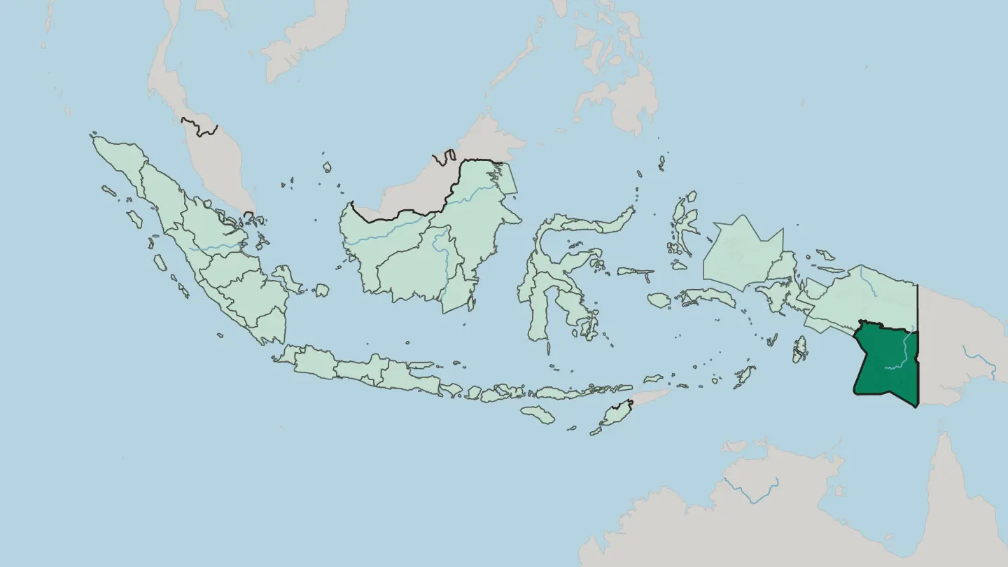 Indonesia
Southwest Papua
Southwest Papua caps the far northwest of New Guinea, the Bird's Head Peninsula province whose Raja Ampat reefs pull divers from around the globe.Towns & cities →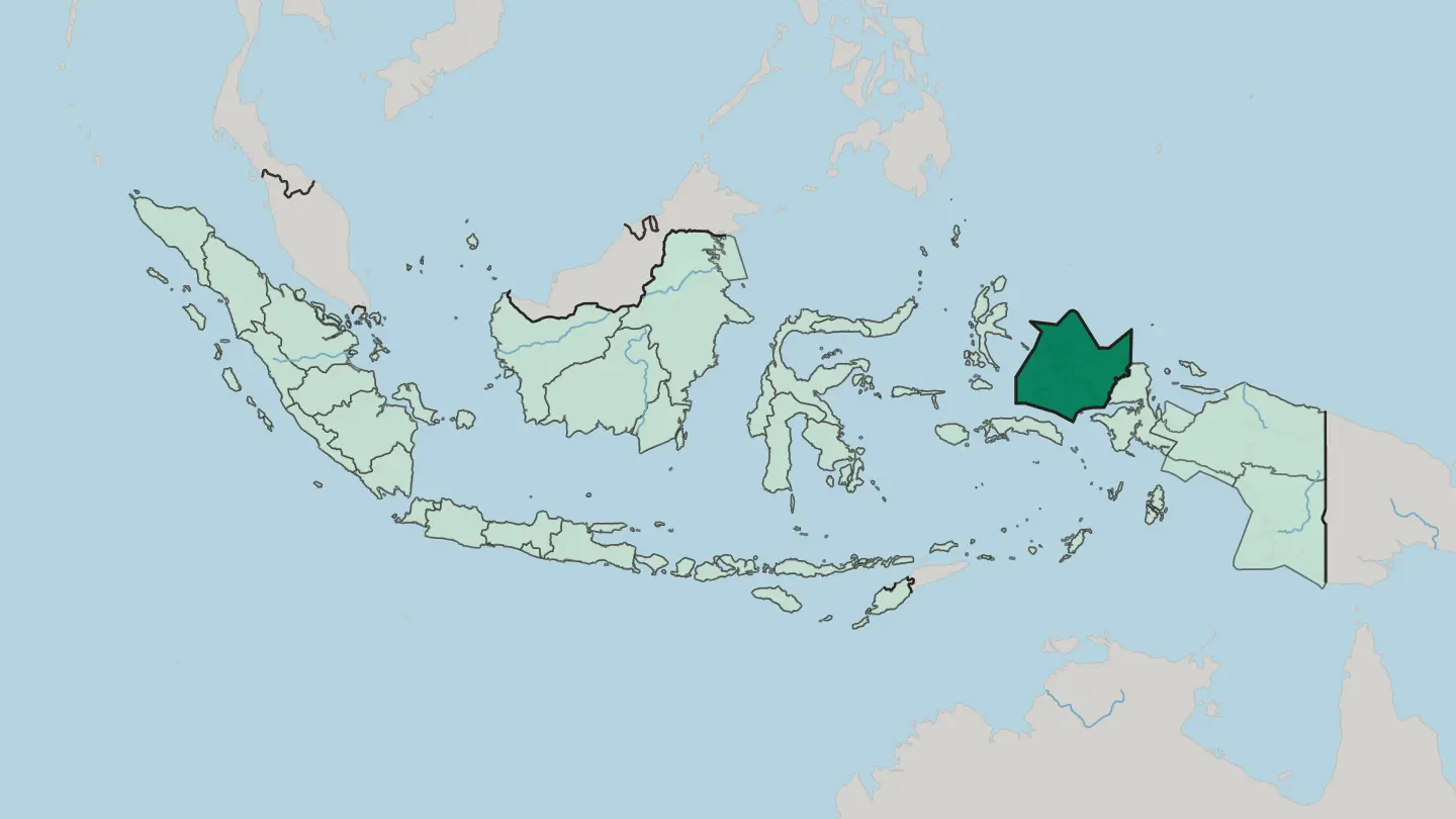
 Indonesia
Sulawesi Tengah
Sulawesi Tengah, or Central Sulawesi, spans the island's mountainous waist from the Makassar Strait to the Gulf of Tomini. Palu is its capital.Towns & cities →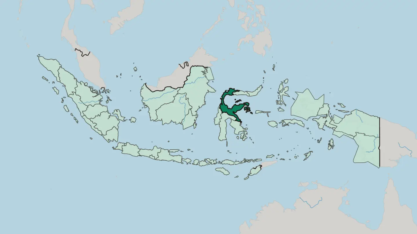
 Indonesia
Sulawesi Tenggara
Sulawesi Tenggara is the south-eastern arm of Sulawesi, an Indonesian province of nickel hills, the Buton Sultanate, and the Wakatobi dive reefs.Towns & cities →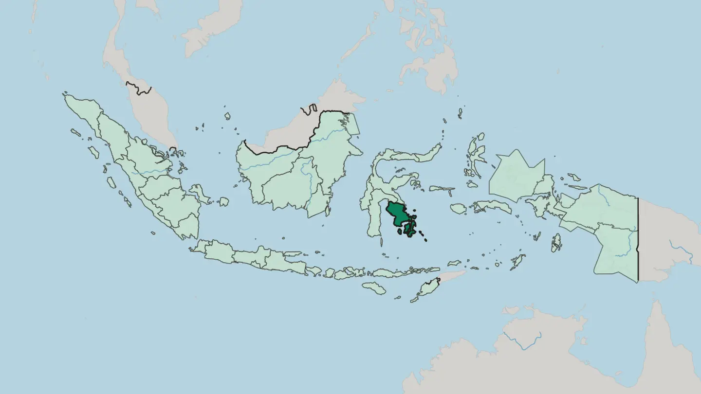
 Indonesia
Sulawesi Utara
Sulawesi Utara caps the northern arm of Sulawesi in Indonesia, a volcanic peninsula of coral reefs and highland lakes near the Philippines.Towns & cities →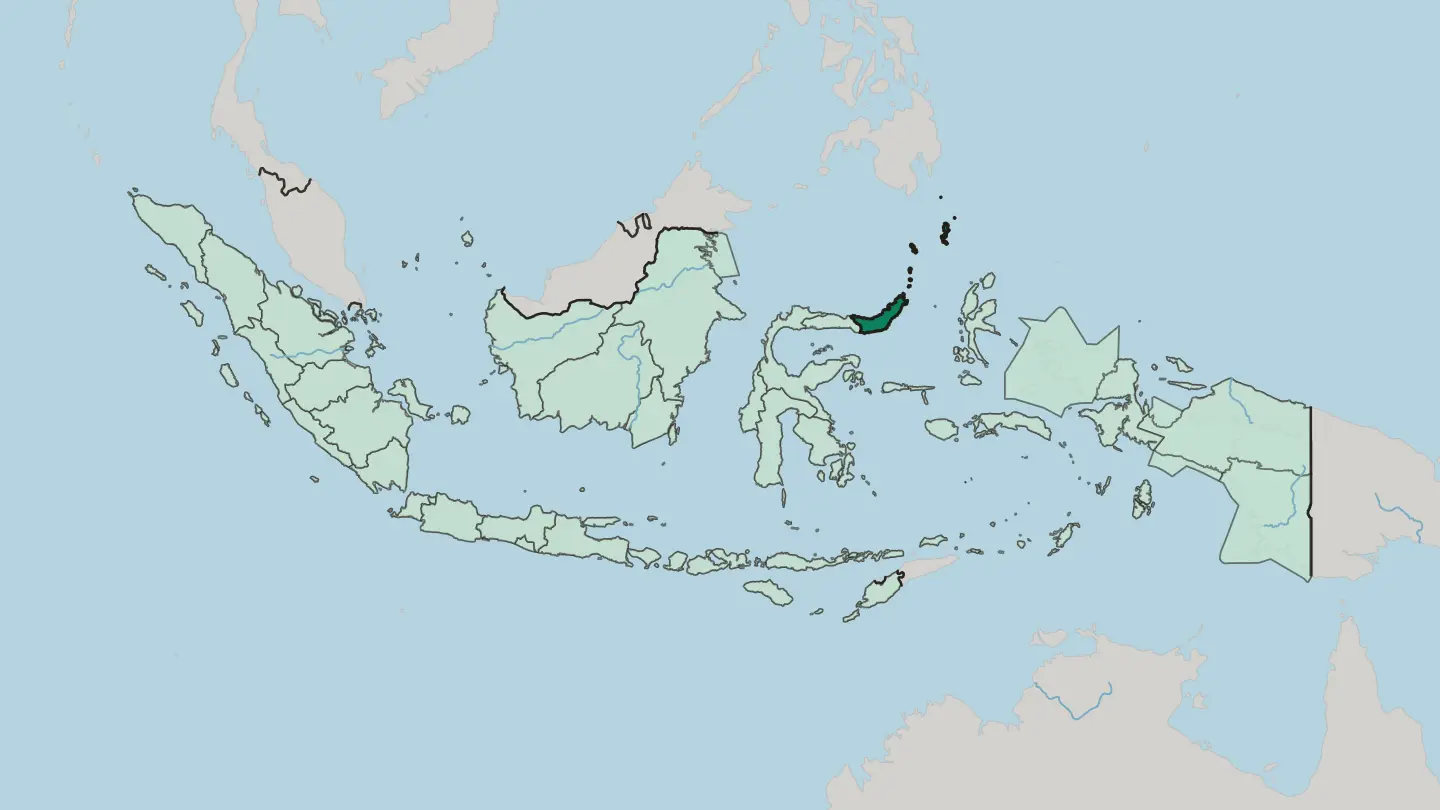
 Indonesia
Sumatera Selatan
South Sumatra spreads across the southeast of Sumatra, its capital Palembang standing on the Musi River at the old heart of the Srivijaya empire.Towns & cities →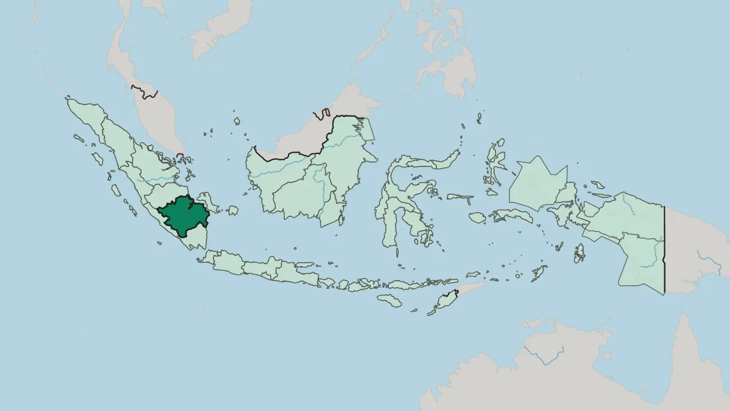
 Indonesia
West Nusa Tenggara
West Nusa Tenggara is the Indonesian province of Lombok and Sumbawa, two islands of the Lesser Sunda chain crowned by the volcano Mount Rinjani.Towns & cities →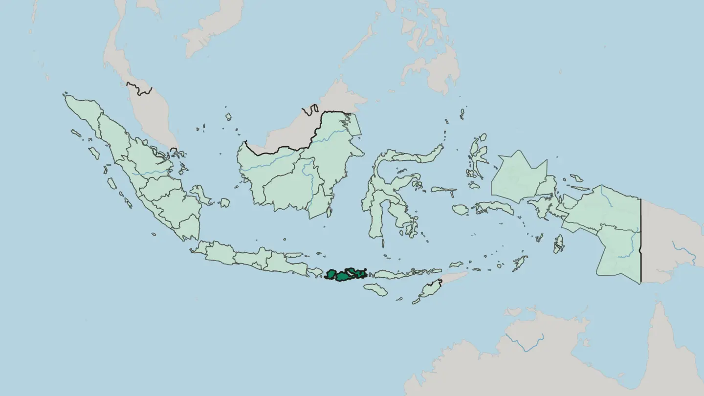
Explore by experience
Not sure which place? Start from how you want to travel.



About Indonesia
What is Indonesia known for?
Indonesia is the world's largest archipelagic state, a run of more than 17,000 islands scattered across the Equator. Islands are the draw. Bali is the best known, though Sumatra, Java, Sulawesi, and the shared expanses of Borneo and New Guinea each pull travellers of their own.
Rainforests cover much of the land, earning the country its old name, The Emerald of the Equator, and sheltering some of the highest levels of biodiversity on the planet.
Where is Indonesia?
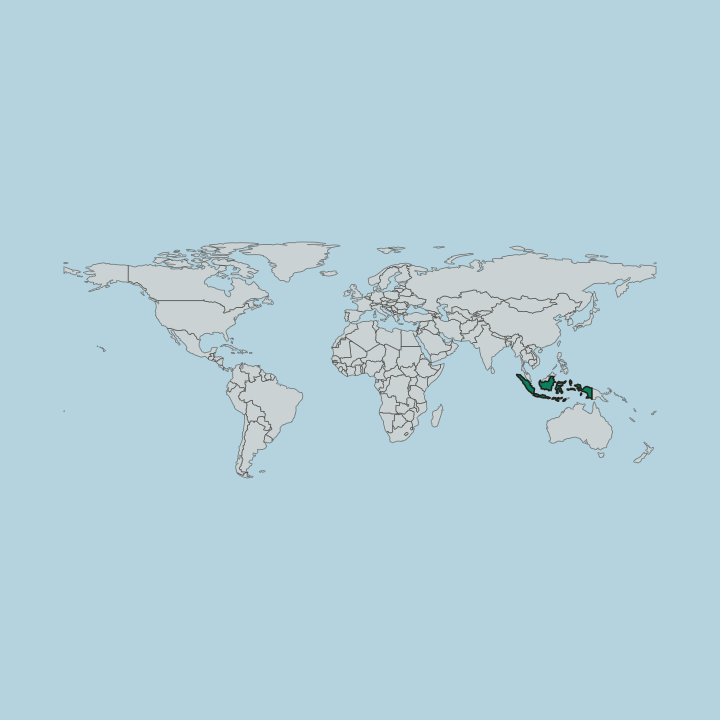
Indonesia lies in Southeast Asia and Oceania at once, spread across the sea between the Indian Ocean and the Pacific Ocean. The Equator runs straight through it. More than 17,000 islands make up the country, the largest archipelagic state on earth, though only about 6,000 inhabited islands among them carry any settlement.
The big islands anchor the rest. Sumatra, Java, and Sulawesi stand across the western and central reach of the archipelago, while the country also holds part of Borneo and part of New Guinea, two great islands it shares with its neighbours. Sea lies between every part of it.
Neighbours ring the archipelago. Indonesia shares land borders with Papua New Guinea on the island of New Guinea, with Timor-Leste, and with Malaysia on Borneo, and across the surrounding water it faces Australia, Singapore, and the Philippines. Rainforest covers a great deal of the land.
Those forests hold some of the highest levels of biodiversity found anywhere on earth, and by sheer extent the country ranks as the 14th-largest in the world by area. Warm, wet, and green, the land sits squarely in the tropics on both sides of the Equator.
What is the history of Indonesia?
Indonesia became a single country only in the modern era, when the Republic of Indonesia declared its founding in 1945. Before that, no single state held the archipelago together. The land itself was never a single place to begin with.
More than 17,000 islands lie scattered here, and for most of the past they answered to no common capital, each of the great islands, Sumatra, Java, Sulawesi, and the shared expanses of Borneo and New Guinea, a world of its own across the sea. Unity itself was the harder achievement. Drawing so many islands into one republic, the Republik Indonesia, meant binding together lands separated by long reaches of the Indian Ocean and the Pacific Ocean.
The Equator itself cuts through the country, so the young state stretched across both halves of the globe from its very first year. What binds them together is one republic spanning many thousands of islands. From that founding in 1945, the country has held its shape as the largest archipelagic state on earth, a single nation spread across a whole sea of islands set between two oceans.
What is Indonesia like?
Indonesia is defined by its spread, a single country scattered across more than 17,000 islands. Diversity is the theme. With some 6,000 inhabited islands, the country holds an enormous range of places and peoples, from Sumatra and Java in the west to Sulawesi and the far reaches of New Guinea.
One language ties the whole together. Indonesian serves as the common tongue across the archipelago, a shared thread running through islands that are otherwise worlds apart. Bali is the face the country shows abroad.
It is the best-known destination by far, though it is only one island among thousands, and much of what draws travellers lies well beyond it. Nature sits close to daily life here. Rainforest covers a great deal of the land, dense enough and green enough that the country earned the old name The Emerald of the Equator, and those same forests hold some of the highest levels of biodiversity on earth.
Life runs to the rhythm of the sea. Between the Indian Ocean and the Pacific Ocean, on both sides of the Equator, the islands share a warm, wet, and tropical world that shapes how people live across the whole archipelago.
What is the climate of Indonesia?
Indonesia has a tropical climate, hot and humid the year round, shaped by its place astride the Equator. There are no true seasons of cold. Instead the year splits between a wetter spell and a drier one, and the heavy rains are what keep the rainforests standing across so many of the islands.
The archipelago draws its moisture from the sea on every side, set between the Indian Ocean and the Pacific Ocean. It stays warm from Sumatra to New Guinea.
How do you get to Indonesia?
Indonesia is reached mostly by air, with the busiest arrivals landing on Java and Bali before travellers spread out across the islands. Distance rules the trip. The country shares land borders with only three neighbours, Papua New Guinea, Timor-Leste, and Malaysia, so most visitors come from further off by plane.
By sea it faces Australia, Singapore, and the Philippines across the water. Once inside, ferries and short flights carry travellers from one island to the next.
Common questions
What is the best area to stay in Indonesia?
Bali: a first island base near Java, with beaches and forested uplands. Java: basing in the archipelago's largest cities. Sumatra: rainforest travel in the west of the archipelago. Sulawesi: reaching the eastern islands toward New Guinea.
Good for
Updated September 2026